132 Whitman Rd Stonington, ME 04681
Estimated Value: $667,000 - $2,304,704
--
Bed
--
Bath
--
Sq Ft
2.8
Acres
About This Home
This home is located at 132 Whitman Rd, Stonington, ME 04681 and is currently estimated at $1,485,852. 132 Whitman Rd is a home with nearby schools including Deer Isle-Stonington Elementary School, Deer Isle-Stonington High School, and The Heritage School.
Ownership History
Date
Name
Owned For
Owner Type
Purchase Details
Closed on
Aug 6, 2018
Sold by
Roland J Vertefeuille
Bought by
Williams Luke and Williams Anne
Current Estimated Value
Home Financials for this Owner
Home Financials are based on the most recent Mortgage that was taken out on this home.
Original Mortgage
$500,000
Outstanding Balance
$435,178
Interest Rate
4.6%
Estimated Equity
$1,050,674
Create a Home Valuation Report for This Property
The Home Valuation Report is an in-depth analysis detailing your home's value as well as a comparison with similar homes in the area
Home Values in the Area
Average Home Value in this Area
Purchase History
| Date | Buyer | Sale Price | Title Company |
|---|---|---|---|
| Williams Luke | -- | -- |
Source: Public Records
Mortgage History
| Date | Status | Borrower | Loan Amount |
|---|---|---|---|
| Open | Williams Luke | $500,000 | |
| Closed | Williams Luke | -- |
Source: Public Records
Tax History Compared to Growth
Tax History
| Year | Tax Paid | Tax Assessment Tax Assessment Total Assessment is a certain percentage of the fair market value that is determined by local assessors to be the total taxable value of land and additions on the property. | Land | Improvement |
|---|---|---|---|---|
| 2024 | $15,859 | $1,562,500 | $468,400 | $1,094,100 |
| 2023 | $12,736 | $818,500 | $312,300 | $506,200 |
| 2022 | $12,736 | $818,500 | $312,300 | $506,200 |
| 2021 | $12,850 | $818,500 | $312,300 | $506,200 |
| 2020 | $12,850 | $818,500 | $312,300 | $506,200 |
| 2019 | $13,014 | $818,500 | $312,300 | $506,200 |
| 2018 | $13,178 | $818,500 | $312,300 | $506,200 |
| 2017 | $13,186 | $818,500 | $312,300 | $506,200 |
| 2016 | $13,833 | $818,500 | $312,300 | $506,200 |
| 2015 | $14,037 | $818,500 | $312,300 | $506,200 |
| 2014 | $11,659 | $772,100 | $312,300 | $459,800 |
| 2013 | $10,948 | $772,100 | $312,300 | $459,800 |
Source: Public Records
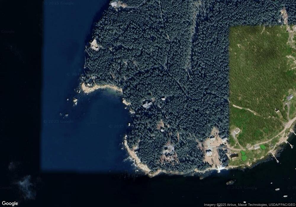
Map
Nearby Homes
- 32 Burnt Cove Rd
- 17 Barbour Farm Rd
- 102 S Burnt Cove Rd
- 12-4 S Burnt Cove Rd
- 12-2 S Burnt Cove Rd
- 12-1 S Burnt Cove Rd
- 12-3 S Burnt Cove Rd
- 643 Sunset Rd
- 10 Moss Ledge Lndg Ln
- 36 Green Head Rd
- 18 Davids Way
- 191 Sunset Cross Rd
- 51 Main St Unit A
- 68 Main St Unit 3
- M3L66&66-2 Sunset Cross Rd
- 176 N Main St
- 145 Stanley Field Rd
- Lot 001 Sheephead Island
- 27 Spofford Dr
- 293 Sunset Rd
- 118 Whitman Rd
- 104 Whitman Rd
- 99 Whitman Rd
- 103 Whitman Rd
- 94 Whitman Rd
- 91 Whitman Rd
- 82 Whitman Rd
- 5 Crockett Cove Rd
- 69 Whitman Rd
- 2 Hillside Rd
- Lot 34C Hillside Rd
- 49 Whitman Rd
- 22 Hillside Rd
- 32 Hillside Rd
- 123 Crockett Cove Rd
- 75 Fifield Point Rd
- 77 Fifield Point Rd
- 41 Fifield Point Rd
- 300 Goose Cove Rd
- 28 Sellers Rd