132 Windswept Ridge Rd Canton, NC 28716
Estimated Value: $409,661 - $477,000
3
Beds
2
Baths
1,196
Sq Ft
$371/Sq Ft
Est. Value
About This Home
This home is located at 132 Windswept Ridge Rd, Canton, NC 28716 and is currently estimated at $443,415, approximately $370 per square foot. 132 Windswept Ridge Rd is a home with nearby schools including North Canton Elementary School, Canton Middle, and Pisgah High School.
Ownership History
Date
Name
Owned For
Owner Type
Purchase Details
Closed on
Jun 21, 2005
Sold by
Hall Roger L and Hall Dorothy M
Bought by
Garcia Carol Ann
Current Estimated Value
Home Financials for this Owner
Home Financials are based on the most recent Mortgage that was taken out on this home.
Original Mortgage
$30,000
Interest Rate
5.57%
Mortgage Type
New Conventional
Create a Home Valuation Report for This Property
The Home Valuation Report is an in-depth analysis detailing your home's value as well as a comparison with similar homes in the area
Home Values in the Area
Average Home Value in this Area
Purchase History
| Date | Buyer | Sale Price | Title Company |
|---|---|---|---|
| Garcia Carol Ann | $174,900 | None Available |
Source: Public Records
Mortgage History
| Date | Status | Borrower | Loan Amount |
|---|---|---|---|
| Closed | Garcia Carol Ann | $30,000 |
Source: Public Records
Tax History
| Year | Tax Paid | Tax Assessment Tax Assessment Total Assessment is a certain percentage of the fair market value that is determined by local assessors to be the total taxable value of land and additions on the property. | Land | Improvement |
|---|---|---|---|---|
| 2025 | -- | $233,400 | $58,000 | $175,400 |
| 2024 | $16 | $233,400 | $58,000 | $175,400 |
| 2023 | $1,606 | $233,400 | $58,000 | $175,400 |
| 2022 | $1,571 | $233,400 | $58,000 | $175,400 |
| 2021 | $1,571 | $233,400 | $58,000 | $175,400 |
| 2020 | $1,404 | $190,000 | $58,000 | $132,000 |
| 2019 | $1,409 | $190,000 | $58,000 | $132,000 |
| 2018 | $1,409 | $190,000 | $58,000 | $132,000 |
| 2017 | $1,409 | $190,000 | $0 | $0 |
| 2016 | $1,387 | $192,200 | $0 | $0 |
| 2015 | $1,367 | $192,200 | $0 | $0 |
| 2014 | $1,248 | $192,200 | $0 | $0 |
Source: Public Records
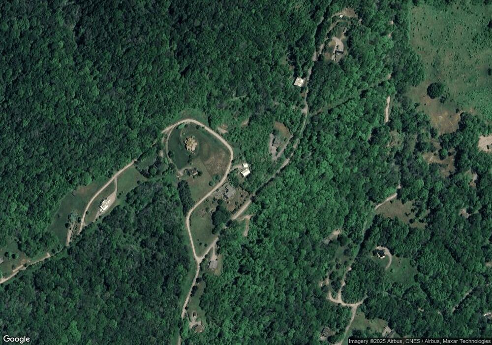
Map
Nearby Homes
- 4942 Beaverdam Rd
- 00 Rock House Cove Rd Unit 2
- 27 Little Roundtop Rd
- 170 Wonderwood Ln
- 530 Wilson Cove Rd
- 2888 Beaverdam Rd
- 9999 Sunset Falls Dr
- 99999 S Turkey Creek Rd Unit 1 & 2
- 00 Wilson Cove Rd
- 40 Shook Cove Rd
- TBD Moonbeam Ln Unit 101 & 102
- 9 Chandra Ln
- 000 Chandra Ln Unit 402
- 72 Lonesome Pines Rd
- Lot 50 Winter Green Dr
- 999 Mount Soma Blvd
- 129 Mount Soma Blvd
- 56 Hidden Valley Rd
- 12 Lila Ln
- 20A Lila Ln
- 100 Windswept Ridge Rd
- TBD Glade Mountain Dr
- 5 Berry Patch Ln
- 00 Pioneer Ridge Rd
- 225 Windswept Ridge Rd
- 245 Windswept Ridge Rd
- 540 Windswept Ridge Rd Unit 7
- 6A&B Windswept Ridge Unit 6A&6B
- 99999 Berry Patch Ln Unit 15, 16
- 259 Windswept Ridge Rd
- 1297 Glade Mountain Dr
- 1050 Glade Mountain Dr
- 1050 Glade Mountain Dr Unit 24
- 101 Boulder Way
- 719 Glade Mountain Dr
- 659 Glade Mountain Dr
- 11 Boulder Way
- 345 Windswept Ridge Rd
- 00 Woodstone Way
- tbd Berry Patch Ln
Your Personal Tour Guide
Ask me questions while you tour the home.