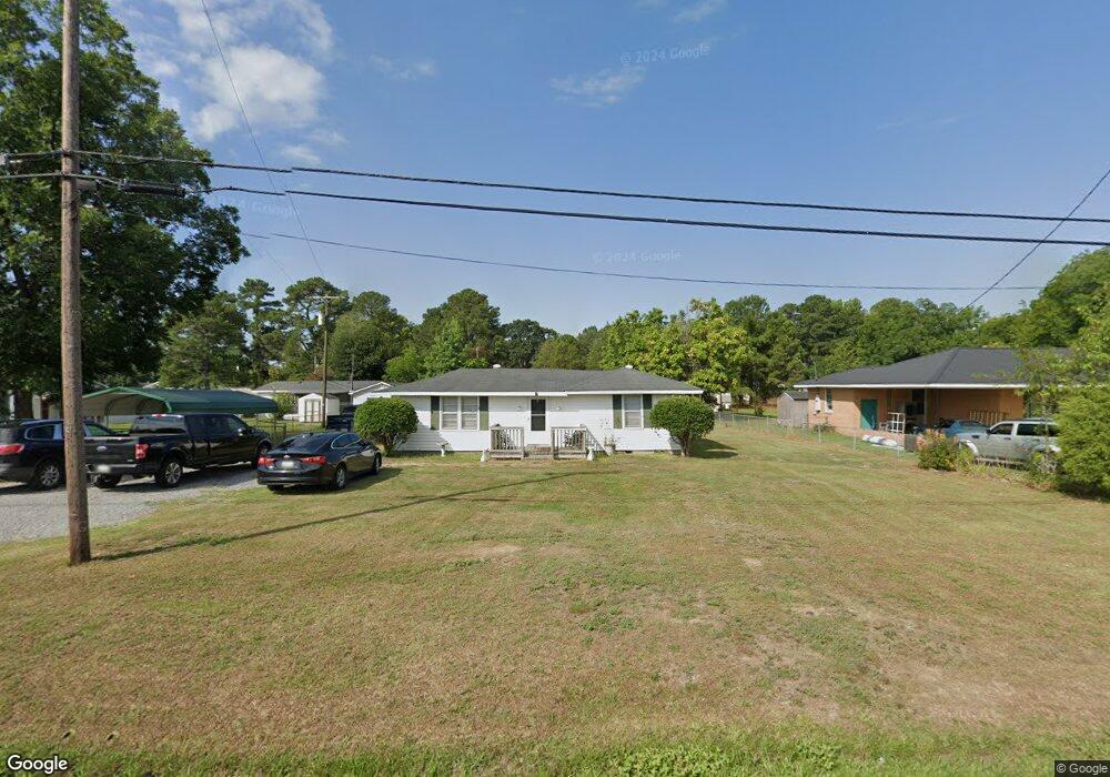
132 Wire Rd Darlington, SC 29532
Estimated Value: $75,000 - $126,000
3
Beds
1
Bath
1,412
Sq Ft
$71/Sq Ft
Est. Value
About This Home
This home is located at 132 Wire Rd, Darlington, SC 29532 and is currently estimated at $100,310, approximately $71 per square foot. 132 Wire Rd is a home located in Darlington County with nearby schools including St. Johns Elementary School, Darlington Middle School, and Darlington High School.
Ownership History
Date
Name
Owned For
Owner Type
Purchase Details
Closed on
Dec 22, 2016
Sold by
Equity Trust Company
Bought by
Lowe Rufus and Lowe Elaine
Current Estimated Value
Home Financials for this Owner
Home Financials are based on the most recent Mortgage that was taken out on this home.
Original Mortgage
$28,098
Outstanding Balance
$22,981
Interest Rate
4.03%
Mortgage Type
Seller Take Back
Estimated Equity
$77,329
Purchase Details
Closed on
Aug 29, 2012
Sold by
Federal National Mortgage Association
Bought by
Equity Trust Company and Jason Ressler Ira
Purchase Details
Closed on
May 22, 2012
Sold by
Jernigan Rebecca T
Bought by
Federal National Mortgage Association
Purchase Details
Closed on
Nov 1, 2007
Sold by
Jernigan Blane C
Bought by
Jernigan Rebecca T
Home Financials for this Owner
Home Financials are based on the most recent Mortgage that was taken out on this home.
Original Mortgage
$45,600
Interest Rate
6.26%
Mortgage Type
New Conventional
Create a Home Valuation Report for This Property
The Home Valuation Report is an in-depth analysis detailing your home's value as well as a comparison with similar homes in the area
Home Values in the Area
Average Home Value in this Area
Purchase History
| Date | Buyer | Sale Price | Title Company |
|---|---|---|---|
| Lowe Rufus | $26,000 | -- | |
| Equity Trust Company | $19,200 | -- | |
| Federal National Mortgage Association | $18,000 | -- | |
| Jernigan Rebecca T | $48,000 | None Available |
Source: Public Records
Mortgage History
| Date | Status | Borrower | Loan Amount |
|---|---|---|---|
| Open | Lowe Rufus | $28,098 | |
| Previous Owner | Jernigan Rebecca T | $45,600 |
Source: Public Records
Tax History
| Year | Tax Paid | Tax Assessment Tax Assessment Total Assessment is a certain percentage of the fair market value that is determined by local assessors to be the total taxable value of land and additions on the property. | Land | Improvement |
|---|---|---|---|---|
| 2025 | $331 | $2,220 | $320 | $1,900 |
| 2024 | $3 | $2,220 | $320 | $1,900 |
| 2023 | $512 | $2,050 | $320 | $1,730 |
| 2022 | $512 | $2,050 | $320 | $1,730 |
| 2021 | $512 | $2,050 | $320 | $1,730 |
| 2020 | $309 | $2,050 | $320 | $1,730 |
| 2019 | $309 | $2,050 | $320 | $1,730 |
| 2018 | $296 | $1,920 | $320 | $1,600 |
| 2017 | $276 | $2,880 | $480 | $2,400 |
| 2016 | $852 | $2,880 | $480 | $2,400 |
| 2014 | $954 | $2,880 | $480 | $2,400 |
| 2013 | $213 | $2,880 | $480 | $2,400 |
Source: Public Records
Map
Nearby Homes
- 103 Grand Dr
- 719 Spring St
- 445 N Main St
- 303 White Magnolia Ave
- 608 Wood Duck Dr
- TBD Dogwood Ave
- 224 Blue St
- 2303 N Governor Williams Hwy
- 617 Weaver St
- 508 Elm St
- 640 Stanley Cir
- TBD N Main St
- 728 Wire Rd
- 0 Stanley Cir
- 648 Franway Dr
- 619 Franway Dr
- 2303 N Governors Hwy
- 120 Saint Johns St
- 404 Jamestown Ave
- 612 Society Hill Rd