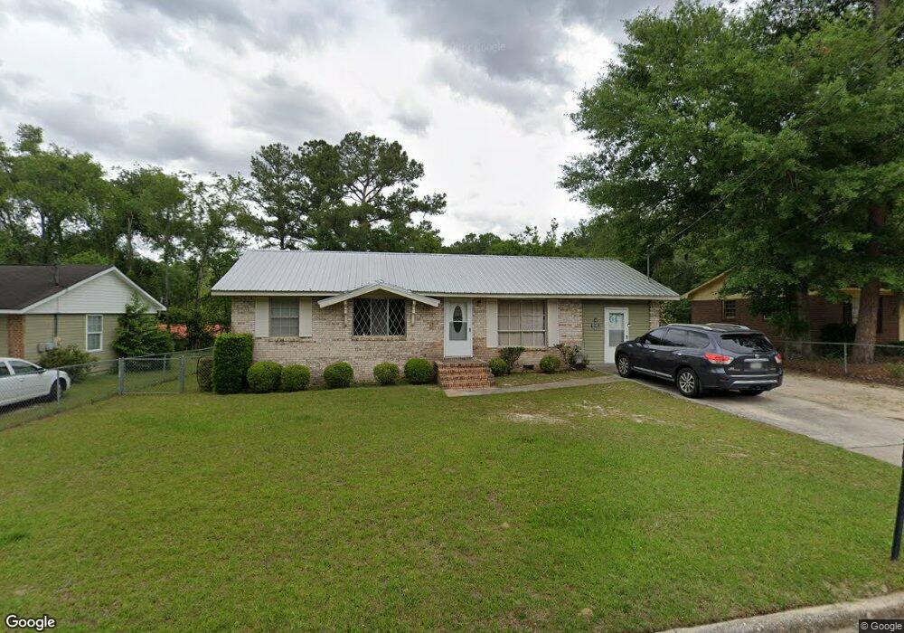
1320 1st Ave Moultrie, GA 31768
Estimated Value: $62,000 - $121,000
Studio
1
Bath
1,275
Sq Ft
$66/Sq Ft
Est. Value
About This Home
This home is located at 1320 1st Ave, Moultrie, GA 31768 and is currently estimated at $84,609, approximately $66 per square foot. 1320 1st Ave is a home located in Colquitt County with nearby schools including C.A. Gray Junior High School, Willie J. Williams Middle School, and Colquitt County High School.
Ownership History
Date
Name
Owned For
Owner Type
Purchase Details
Closed on
May 10, 2007
Sold by
Jordan Moses
Bought by
Jordan Moses and Jordan Shirley Ann
Current Estimated Value
Purchase Details
Closed on
Mar 1, 2002
Bought by
Jordan Moses
Purchase Details
Closed on
Sep 28, 1983
Bought by
Jordan Moses
Create a Home Valuation Report for This Property
The Home Valuation Report is an in-depth analysis detailing your home's value as well as a comparison with similar homes in the area
Purchase History
| Date | Buyer | Sale Price | Title Company |
|---|---|---|---|
| Jordan Moses | -- | -- | |
| Jordan Moses | -- | -- | |
| Jordan Moses | -- | -- |
Source: Public Records
Tax History
| Year | Tax Paid | Tax Assessment Tax Assessment Total Assessment is a certain percentage of the fair market value that is determined by local assessors to be the total taxable value of land and additions on the property. | Land | Improvement |
|---|---|---|---|---|
| 2025 | -- | $16,261 | $1,200 | $15,061 |
| 2024 | $513 | $17,486 | $1,200 | $16,286 |
| 2023 | $483 | $19,748 | $1,200 | $18,548 |
| 2022 | $573 | $18,642 | $1,200 | $17,442 |
| 2021 | $513 | $16,646 | $1,200 | $15,446 |
| 2020 | $521 | $16,646 | $1,200 | $15,446 |
| 2019 | $588 | $16,646 | $1,200 | $15,446 |
| 2018 | $665 | $16,646 | $1,200 | $15,446 |
| 2017 | $582 | $16,646 | $1,200 | $15,446 |
| 2016 | $611 | $16,646 | $1,200 | $15,446 |
| 2015 | $612 | $16,646 | $1,200 | $15,446 |
| 2014 | $626 | $16,646 | $1,200 | $15,446 |
| 2013 | -- | $16,646 | $1,200 | $15,446 |
Source: Public Records
Map
Nearby Homes
- 410 West Bypass NW
- 410 W Bypass Pass NW
- 216 Circle Rd
- 408 9th St NW
- 722 Martin Luther King jr Dr
- 427 8th St NW
- 720 9th St NW
- 200 8th St SW
- 610 1st Ave NW
- 618 2nd Ave SW
- 1021 11th Ave NW
- 518 1st Ave SW Unit 3
- 00 1st Ave SW
- 221 6th St SW
- 515 8th St SW
- 601 4th Ave SW
- 521 5th Ave NW
- 316 5th Ave NW
- 310 1st Ave SW
- 2010 West Blvd
Your Personal Tour Guide
Ask me questions while you tour the home.