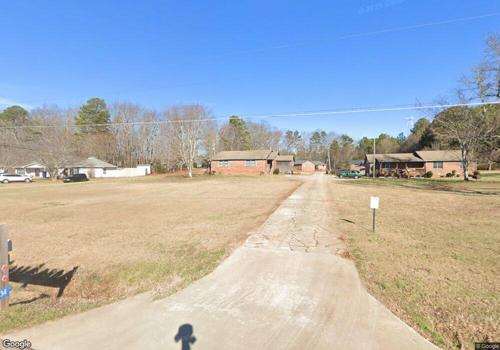
1320 Aiken Rd Bogart, GA 30622
Estimated Value: $346,000 - $966,400
--
Bed
--
Bath
2,001
Sq Ft
$287/Sq Ft
Est. Value
About This Home
This home is located at 1320 Aiken Rd, Bogart, GA 30622 and is currently estimated at $573,800, approximately $286 per square foot. 1320 Aiken Rd is a home located in Oconee County with nearby schools including Malcom Bridge Elementary School, Malcom Bridge Middle School, and North Oconee High School.
Ownership History
Date
Name
Owned For
Owner Type
Purchase Details
Closed on
Mar 31, 2010
Sold by
Broach William J
Bought by
Aiken Road Investments Llc
Current Estimated Value
Purchase Details
Closed on
Dec 19, 2008
Sold by
Broach Rodney
Bought by
Broach Rodney
Purchase Details
Closed on
Jan 19, 2006
Sold by
Not Provided
Bought by
Aiken Road Investments Llc
Home Financials for this Owner
Home Financials are based on the most recent Mortgage that was taken out on this home.
Original Mortgage
$263,792
Interest Rate
6.21%
Mortgage Type
New Conventional
Create a Home Valuation Report for This Property
The Home Valuation Report is an in-depth analysis detailing your home's value as well as a comparison with similar homes in the area
Home Values in the Area
Average Home Value in this Area
Purchase History
| Date | Buyer | Sale Price | Title Company |
|---|---|---|---|
| Aiken Road Investments Llc | $199,114 | -- | |
| Broach William | -- | -- | |
| Broach Rodney | -- | -- | |
| Aiken Road Investments Llc | -- | -- |
Source: Public Records
Mortgage History
| Date | Status | Borrower | Loan Amount |
|---|---|---|---|
| Previous Owner | Aiken Road Investments Llc | $263,792 |
Source: Public Records
Tax History Compared to Growth
Tax History
| Year | Tax Paid | Tax Assessment Tax Assessment Total Assessment is a certain percentage of the fair market value that is determined by local assessors to be the total taxable value of land and additions on the property. | Land | Improvement |
|---|---|---|---|---|
| 2024 | $9,713 | $367,947 | $60,260 | $307,687 |
| 2023 | $7,959 | $337,728 | $55,796 | $281,932 |
| 2022 | $7,013 | $283,790 | $44,638 | $239,152 |
| 2021 | $6,659 | $248,903 | $40,579 | $208,324 |
| 2020 | $6,257 | $232,550 | $36,890 | $195,660 |
| 2019 | $6,127 | $226,880 | $32,078 | $194,802 |
| 2018 | $4,645 | $168,761 | $29,162 | $139,599 |
| 2017 | $4,212 | $152,968 | $24,302 | $128,666 |
| 2016 | $4,072 | $147,883 | $22,093 | $125,790 |
| 2015 | $3,985 | $144,513 | $22,093 | $122,420 |
| 2014 | $3,839 | $136,410 | $20,084 | $116,325 |
| 2013 | -- | $129,313 | $19,594 | $109,719 |
Source: Public Records
Map
Nearby Homes
- 2188 Day Dr
- 1851 McNutt Creek Rd
- 325 Twin Oaks Cir
- 1811 McNutt Creek Rd
- 119 S Church St
- 1715 Whistling Creek Crossing Unit Lot 21
- 1060 Fox Hollow Ct
- 1060 Cobblestone Ln
- 1120 Pearl Way
- 2130 Keeneland Dr
- 2130 Keeneland Dr
- 1250 Pete Dickens Rd
- 1190 Dials Mill Spur
- 159 Pine Valley Rd
- 1216 Ray's River Run
- 3451 Clayton Dr
- 3377 Clayton Dr
- 1340 Aiken Rd Unit 1342
- 1340 Aiken Rd
- 1340 Aiken Rd Unit 2
- 1312 Aiken Rd
- 1310 Aiken Rd Unit 2
- 1344 Aiken Rd
- 1342 Aiken Rd
- 1350 Aiken Rd Unit 1352
- 1350 Aiken Rd
- 1350 Aiken Rd Unit 2
- 1300 Aiken Rd
- 1360 Aiken Rd
- 1341 Aiken Rd
- 1290 Aiken Rd
- 1352 Aiken Rd
- 1280 Aiken Rd
- 1370 Aiken Rd
- 2210 Pete Dickens Rd
- 2240 Pete Dickens Rd
- 1270 Aiken Rd