1320 Aster Ct Batavia, IL 60510
Woodland Hills NeighborhoodEstimated Value: $465,000 - $622,000
3
Beds
--
Bath
3,248
Sq Ft
$167/Sq Ft
Est. Value
About This Home
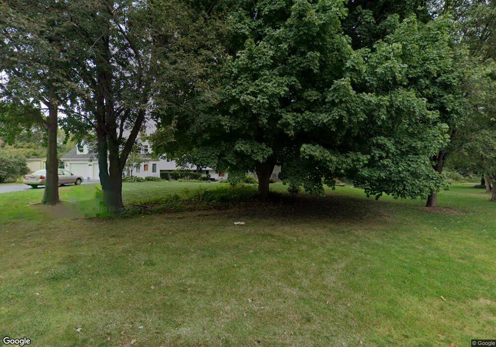
This home is located at 1320 Aster Ct, Batavia, IL 60510 and is currently estimated at $542,021, approximately $166 per square foot. 1320 Aster Ct is a home located in Kane County with nearby schools including J B Nelson Elementary School, Sam Rotolo Middle School, and Batavia Sr High School.
Ownership History
Date
Name
Owned For
Owner Type
Purchase Details
Closed on
Sep 4, 1999
Sold by
Emerson John R and Emerson Cynthia L
Bought by
Emerson John R and Emerson Cynthia L
Current Estimated Value
Purchase Details
Closed on
May 28, 1999
Sold by
Blotch Alan Vogler and Blotch Grace E
Bought by
Emerson John R and Tate Cindy L
Home Financials for this Owner
Home Financials are based on the most recent Mortgage that was taken out on this home.
Original Mortgage
$175,275
Outstanding Balance
$40,364
Interest Rate
6.94%
Estimated Equity
$501,657
Create a Home Valuation Report for This Property
The Home Valuation Report is an in-depth analysis detailing your home's value as well as a comparison with similar homes in the area
Home Values in the Area
Average Home Value in this Area
Purchase History
| Date | Buyer | Sale Price | Title Company |
|---|---|---|---|
| Emerson John R | -- | -- | |
| Emerson John R | $184,500 | Chicago Title Insurance Co |
Source: Public Records
Mortgage History
| Date | Status | Borrower | Loan Amount |
|---|---|---|---|
| Open | Emerson John R | $175,275 |
Source: Public Records
Tax History
| Year | Tax Paid | Tax Assessment Tax Assessment Total Assessment is a certain percentage of the fair market value that is determined by local assessors to be the total taxable value of land and additions on the property. | Land | Improvement |
|---|---|---|---|---|
| 2024 | $10,808 | $152,692 | $20,939 | $131,753 |
| 2023 | $10,519 | $138,584 | $19,004 | $119,580 |
| 2022 | $10,767 | $134,310 | $22,553 | $111,757 |
| 2021 | $10,993 | $130,013 | $24,022 | $105,991 |
| 2020 | $10,724 | $127,514 | $23,560 | $103,954 |
| 2019 | $10,552 | $123,000 | $22,726 | $100,274 |
| 2018 | $10,134 | $118,314 | $21,860 | $96,454 |
| 2017 | $9,891 | $114,412 | $21,139 | $93,273 |
| 2016 | $9,682 | $111,079 | $20,523 | $90,556 |
| 2015 | -- | $108,550 | $20,056 | $88,494 |
| 2014 | -- | $105,133 | $19,425 | $85,708 |
| 2013 | -- | $108,454 | $24,418 | $84,036 |
Source: Public Records
Map
Nearby Homes
- 1136 Pine Ct
- 121 S Raddant Rd
- 1025 E Wilson St
- Lot 1 Center St
- 637 E Wilson St
- 1206 Beckman Ln
- 694 Hart Rd
- 1402 Cherry Dr
- 414 Cleveland Ave
- 304 S Prairie St
- 637 Madison St
- 524 N College St
- Lot 4 Manchester Ave
- 417 N Van Buren St
- 820 N Van Buren St
- 860 S River St
- 527 Ridgelawn Trail
- 2007 Gillenwater St
- 404 S Batavia Ave
- 330 First St
- 1318 Aster Ct
- 1314 Aster Ct
- 1334 Bluebell Ln
- 1324 Bluebell Ln
- 1316 Aster Ct
- 1312 Bluebell Ln
- 1338 Bluebell Ln
- 430 Woodland Hills Rd
- 1304 Bluebell Ln
- 504 Woodland Hills Rd
- 1339 Wintergreen Terrace
- 1335 Wintergreen Terrace
- 518 Woodland Hills Rd
- 358 Woodland Hills Rd
- 1337 Bluebell Ln
- 1313 Bluebell Ln
- 1325 Wintergreen Terrace
- 1323 Bluebell Ln
- 1333 Bluebell Ln
- 342 Woodland Hills Rd
Your Personal Tour Guide
Ask me questions while you tour the home.