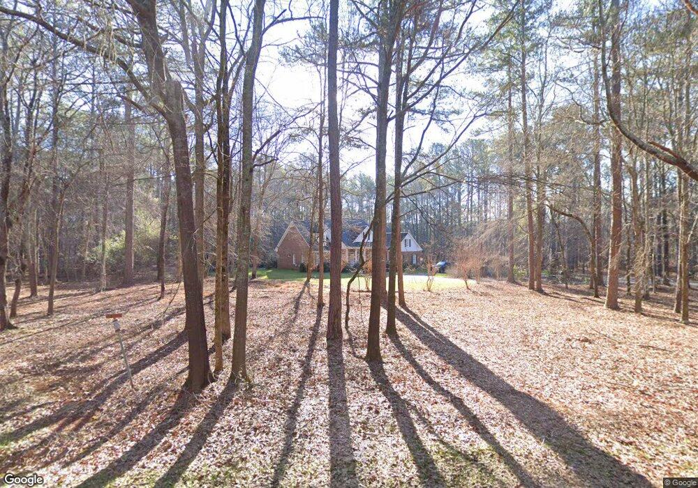
1320 Broadlands Dr Watkinsville, GA 30677
Estimated Value: $607,000 - $873,531
4
Beds
4
Baths
3,022
Sq Ft
$246/Sq Ft
Est. Value
About This Home
This home is located at 1320 Broadlands Dr, Watkinsville, GA 30677 and is currently estimated at $742,633, approximately $245 per square foot. 1320 Broadlands Dr is a home located in Oconee County with nearby schools including Oconee County Elementary School, Oconee County Primary School, and Oconee County Middle School.
Ownership History
Date
Name
Owned For
Owner Type
Purchase Details
Closed on
Jun 29, 2000
Sold by
Ille Robert G
Bought by
Brown Thomas L
Current Estimated Value
Purchase Details
Closed on
Nov 27, 1996
Sold by
Richards Robert Wil
Bought by
Ille Robert G
Purchase Details
Closed on
Aug 30, 1995
Bought by
Richards Robert Wil
Create a Home Valuation Report for This Property
The Home Valuation Report is an in-depth analysis detailing your home's value as well as a comparison with similar homes in the area
Home Values in the Area
Average Home Value in this Area
Purchase History
| Date | Buyer | Sale Price | Title Company |
|---|---|---|---|
| Brown Thomas L | $350,000 | -- | |
| Ille Robert G | $52,900 | -- | |
| Richards Robert Wil | $90,000 | -- |
Source: Public Records
Tax History Compared to Growth
Tax History
| Year | Tax Paid | Tax Assessment Tax Assessment Total Assessment is a certain percentage of the fair market value that is determined by local assessors to be the total taxable value of land and additions on the property. | Land | Improvement |
|---|---|---|---|---|
| 2024 | $4,228 | $307,284 | $130,886 | $176,398 |
| 2023 | $4,589 | $275,228 | $109,072 | $166,156 |
| 2022 | $5,143 | $241,726 | $99,157 | $142,569 |
| 2021 | $4,784 | $208,661 | $78,077 | $130,584 |
| 2020 | $4,340 | $189,179 | $63,997 | $125,182 |
| 2019 | $4,278 | $186,524 | $63,997 | $122,527 |
| 2018 | $4,304 | $183,721 | $63,997 | $119,724 |
| 2017 | $4,121 | $176,003 | $60,950 | $115,053 |
| 2016 | $3,993 | $170,600 | $56,076 | $114,524 |
| 2015 | $4,013 | $171,082 | $56,076 | $115,005 |
| 2014 | $3,498 | $146,029 | $43,926 | $102,103 |
| 2013 | -- | $139,207 | $44,718 | $94,488 |
Source: Public Records
Map
Nearby Homes
- 1030 Rossiter Ct
- 1040 Rossiter Ct
- 2041 Simonton Bridge Rd
- 2061 Simonton Bridge Rd
- 2190 Simonton Bridge Rd
- 2240 Simonton Bridge Rd
- 1682 River Bank Ln
- 1061 Riverside Dr
- 1250 Calls Creek Cir
- 1010 Overton Way
- 1051 Simonton Way
- 1320 Katie Ln
- 1145 Watson Ln Unit E3
- 1311 Watson Ln Unit E8
- 1171 Watson Ln Unit E4
- 1195 Watson Ln Unit E5
- 1170 Watson Ln Unit F5
- 1360 Broadlands Dr
- 1081 Victoria Crossing
- 1020 Sidney Cir
- 1101 Victoria Crossing
- 1061 Victoria Crossing
- 1370 Broadlands Dr
- 1281 Broadlands Dr
- 1231 Broadlands Dr
- 1131 Victoria Crossing
- 1080 Victoria Crossing
- 1011 Station Dr
- 1041 Victoria Crossing
- 1100 Victoria Crossing
- 1151 Victoria Crossing
- 1060 Victoria Crossing
- 0 Victoria Crossing Unit 7220009
- 0 Victoria Crossing Unit 7114382
- 0 Victoria Crossing Unit 7069127
- 0 Victoria Crossing Unit 8305186
- 0 Victoria Crossing Unit 8815288