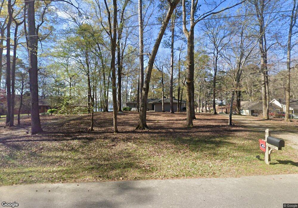
1320 Buckhead Dr Greensboro, GA 30642
Estimated Value: $871,632 - $1,455,000
--
Bed
2
Baths
1,646
Sq Ft
$715/Sq Ft
Est. Value
About This Home
This home is located at 1320 Buckhead Dr, Greensboro, GA 30642 and is currently estimated at $1,177,158, approximately $715 per square foot. 1320 Buckhead Dr is a home located in Greene County with nearby schools including Greene County High School.
Ownership History
Date
Name
Owned For
Owner Type
Purchase Details
Closed on
Jun 30, 2022
Sold by
Pautz Martin R
Bought by
Baddour Joseph E
Current Estimated Value
Home Financials for this Owner
Home Financials are based on the most recent Mortgage that was taken out on this home.
Original Mortgage
$400,000
Interest Rate
5.09%
Mortgage Type
Mortgage Modification
Purchase Details
Closed on
Oct 29, 1998
Sold by
Pautz--Power Of Attn
Bought by
Pautz Martin R and Pautz Robin S
Purchase Details
Closed on
Oct 28, 1998
Sold by
Pautz Martin R
Bought by
Pautz--Power Of Attn
Purchase Details
Closed on
Oct 23, 1998
Sold by
Cox William L and Cox Ann W
Bought by
Pautz Martin R
Purchase Details
Closed on
Jan 1, 1987
Sold by
Cox Doris P
Bought by
Cox William L and Cox Ann W
Purchase Details
Closed on
Jan 1, 1980
Sold by
Cox M W
Bought by
Cox Doris P
Purchase Details
Closed on
Jan 1, 1979
Sold by
Wolski William F
Bought by
Cox M W
Purchase Details
Closed on
Jan 1, 1974
Bought by
Wolski William F
Create a Home Valuation Report for This Property
The Home Valuation Report is an in-depth analysis detailing your home's value as well as a comparison with similar homes in the area
Home Values in the Area
Average Home Value in this Area
Purchase History
| Date | Buyer | Sale Price | Title Company |
|---|---|---|---|
| Baddour Joseph E | $730,000 | -- | |
| Pautz Martin R | -- | -- | |
| Pautz--Power Of Attn | -- | -- | |
| Pautz Martin R | $212,000 | -- | |
| Cox William L | -- | -- | |
| Cox Doris P | -- | -- | |
| Cox M W | -- | -- | |
| Wolski William F | -- | -- |
Source: Public Records
Mortgage History
| Date | Status | Borrower | Loan Amount |
|---|---|---|---|
| Closed | Baddour Joseph E | $400,000 |
Source: Public Records
Tax History Compared to Growth
Tax History
| Year | Tax Paid | Tax Assessment Tax Assessment Total Assessment is a certain percentage of the fair market value that is determined by local assessors to be the total taxable value of land and additions on the property. | Land | Improvement |
|---|---|---|---|---|
| 2024 | $4,593 | $288,760 | $200,000 | $88,760 |
| 2023 | $4,311 | $284,320 | $200,000 | $84,320 |
| 2022 | $4,416 | $242,800 | $182,000 | $60,800 |
| 2021 | $3,832 | $194,880 | $140,000 | $54,880 |
| 2020 | $2,561 | $116,200 | $82,600 | $33,600 |
| 2019 | $2,632 | $116,200 | $82,600 | $33,600 |
| 2018 | $2,614 | $116,200 | $82,600 | $33,600 |
| 2017 | $2,452 | $116,246 | $82,620 | $33,626 |
| 2016 | $2,458 | $116,773 | $82,620 | $34,153 |
| 2015 | $2,548 | $122,281 | $88,128 | $34,153 |
| 2014 | $2,577 | $120,707 | $88,128 | $32,579 |
Source: Public Records
Map
Nearby Homes
- 1430 Buckhead Dr
- 1800 Buckhead Dr
- 1991 Armour Bridge Rd
- 1251 Lake Club Dr
- 1230 Lake Club Dr
- 1221 Lake Club Dr
- 1070 Prosperity Pointe
- 1070 Prosperity Point
- 1031 Hawks Bill Dr
- 1341 Granite Cove Dr
- 1010 Portage Trail
- 1010 Tailwater
- 1831 Parrotts Pointe Rd
- 1050 Tailwater Unit A
- 1050 Tailwater
- 1030 Tailwater
- 1010 Creekside Unit A
- 1330 Buckhead Dr Unit 2
- 1330 Buckhead Dr
- 1310 Buckhead Dr
- 1300 Buckhead Dr
- Lot 14 Buckhead Dr
- 1350 Buckhead Dr
- 1290 Buckhead Dr
- 1410 Buckhead Dr
- 1400 Buckhead Dr
- 1380 Buckhead Dr
- 1280 Buckhead Dr Unit 7
- 1280 Buckhead Dr
- 1420 Buckhead Dr
- 1440 Buckhead Dr
- 1011 Oak Ridge Dr
- 1460 Buckhead Dr
- 1750 Buckhead Dr
- 1780 Buckhead Dr Unit 18
- 1780 Buckhead Dr
- 1021 Oak Ridge Dr