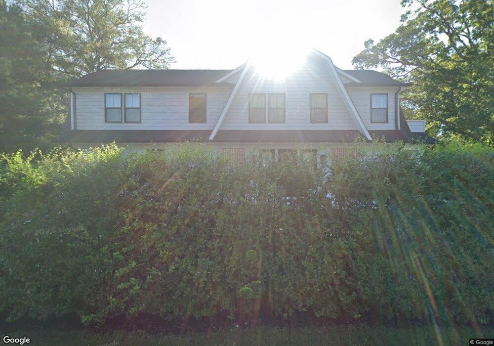
1320 Charles St Point Pleasant Boro, NJ 08742
Estimated Value: $945,000 - $1,678,000
4
Beds
4
Baths
1,087
Sq Ft
$1,275/Sq Ft
Est. Value
About This Home
This home is located at 1320 Charles St, Point Pleasant Boro, NJ 08742 and is currently estimated at $1,386,021, approximately $1,275 per square foot. 1320 Charles St is a home located in Ocean County with nearby schools including Point Pleasant High School and St. Peter School.
Ownership History
Date
Name
Owned For
Owner Type
Purchase Details
Closed on
Oct 30, 2019
Sold by
Quaas Alexandria and Bryan David
Bought by
1320 Charles St Llc
Current Estimated Value
Home Financials for this Owner
Home Financials are based on the most recent Mortgage that was taken out on this home.
Original Mortgage
$317,500
Interest Rate
3.7%
Mortgage Type
New Conventional
Purchase Details
Closed on
Aug 11, 2016
Sold by
Quaas Alexandria
Bought by
Quaas Alexandria
Create a Home Valuation Report for This Property
The Home Valuation Report is an in-depth analysis detailing your home's value as well as a comparison with similar homes in the area
Home Values in the Area
Average Home Value in this Area
Purchase History
| Date | Buyer | Sale Price | Title Company |
|---|---|---|---|
| 1320 Charles St Llc | -- | Two Rivers Title Co Llc | |
| Quaas Alexandria | -- | Two River Title Co Llc |
Source: Public Records
Mortgage History
| Date | Status | Borrower | Loan Amount |
|---|---|---|---|
| Previous Owner | 1320 Charles St Llc | $317,500 |
Source: Public Records
Tax History Compared to Growth
Tax History
| Year | Tax Paid | Tax Assessment Tax Assessment Total Assessment is a certain percentage of the fair market value that is determined by local assessors to be the total taxable value of land and additions on the property. | Land | Improvement |
|---|---|---|---|---|
| 2024 | $11,986 | $548,300 | $188,700 | $359,600 |
| 2023 | $11,739 | $548,300 | $188,700 | $359,600 |
| 2022 | $11,739 | $548,300 | $188,700 | $359,600 |
| 2021 | $11,558 | $548,300 | $188,700 | $359,600 |
| 2020 | $3,936 | $188,700 | $188,700 | $0 |
| 2019 | $3,883 | $188,700 | $188,700 | $0 |
| 2018 | $5,026 | $251,700 | $188,700 | $63,000 |
| 2017 | $4,916 | $251,700 | $188,700 | $63,000 |
| 2016 | $4,878 | $251,700 | $188,700 | $63,000 |
| 2015 | $4,820 | $251,700 | $188,700 | $63,000 |
| 2014 | $4,709 | $251,700 | $188,700 | $63,000 |
Source: Public Records
Map
Nearby Homes
- 1416 Charles St
- 1325 Bay Ave
- 811 Fay Ct
- 1501 Hulse Rd Unit 22
- 1234 William St
- 289 Osborne Ave
- 812 Donna Dr
- 1641 Elm Ave Unit 10
- 907 Leighton Ave
- 909 Leighton Ave
- 1030 Ocean Rd
- 1215 Johnson Ave
- 916 Ellison Ave
- 1216 Wilmington St
- 1139 Roe Ave
- 230 Bridge Ave
- 604 Ocean Rd
- 217 Howe St
- 710 Beaver Dam Rd
- 2221 Wilson Rd
- 727 Burnt Tavern Rd
- 1316 Charles St
- 725 Burnt Tavern Rd
- 1319 Charles St
- 1317 Charles St
- 810 Burnt Tavern Rd
- 723 Burnt Tavern Rd
- 728 Burnt Tavern Rd
- 1315 Charles St
- 815 Burnt Tavern Rd Unit 3
- 815 Burnt Tavern Rd
- 1312 Charles St
- 816 Burnt Tavern Rd
- 731 Burnt Tavern Rd
- 726 Burnt Tavern Rd
- 1313 Charles St
- 1405 Charles St
- 1311 Nersita Dr
- 1404 Juniper St
- 1309 Nersita Dr