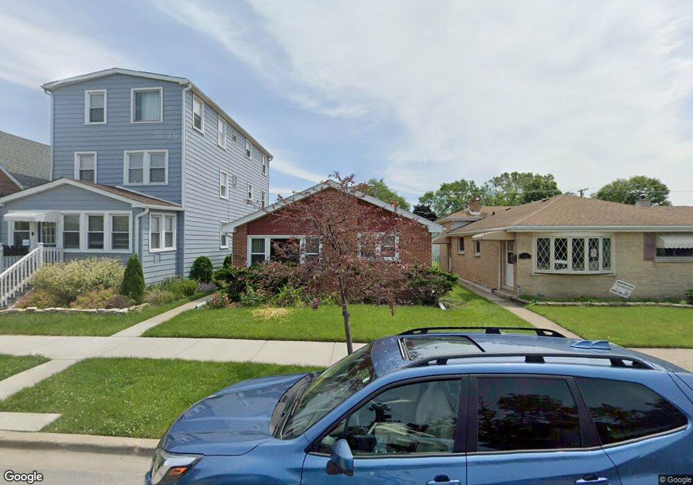
1320 Circle Ave Forest Park, IL 60130
Estimated Value: $292,000 - $351,054
3
Beds
1
Bath
1,175
Sq Ft
$271/Sq Ft
Est. Value
About This Home
This home is located at 1320 Circle Ave, Forest Park, IL 60130 and is currently estimated at $318,014, approximately $270 per square foot. 1320 Circle Ave is a home located in Cook County with nearby schools including Garfield Elementary School, Betsy Ross Elementary School, and Field Stevenson Elementary School.
Ownership History
Date
Name
Owned For
Owner Type
Purchase Details
Closed on
Sep 20, 1997
Sold by
American National Bk & Tr Co Of Chicago
Bought by
Payne Christopher and Gandham Dorothy
Current Estimated Value
Purchase Details
Closed on
Sep 26, 1996
Sold by
Beutler Henry and Beutler Harlinda
Bought by
American National Bk & Tr Co Of Chicago and Trust #300792-06
Home Financials for this Owner
Home Financials are based on the most recent Mortgage that was taken out on this home.
Original Mortgage
$99,750
Interest Rate
7.97%
Create a Home Valuation Report for This Property
The Home Valuation Report is an in-depth analysis detailing your home's value as well as a comparison with similar homes in the area
Home Values in the Area
Average Home Value in this Area
Purchase History
| Date | Buyer | Sale Price | Title Company |
|---|---|---|---|
| Payne Christopher | -- | -- | |
| American National Bk & Tr Co Of Chicago | -- | -- | |
| American National Bk & Tr Co Of Chicago | $105,000 | -- |
Source: Public Records
Mortgage History
| Date | Status | Borrower | Loan Amount |
|---|---|---|---|
| Previous Owner | American National Bk & Tr Co Of Chicago | $99,750 |
Source: Public Records
Tax History Compared to Growth
Tax History
| Year | Tax Paid | Tax Assessment Tax Assessment Total Assessment is a certain percentage of the fair market value that is determined by local assessors to be the total taxable value of land and additions on the property. | Land | Improvement |
|---|---|---|---|---|
| 2024 | $6,910 | $26,085 | $3,265 | $22,820 |
| 2023 | $5,710 | $28,974 | $3,265 | $25,709 |
| 2022 | $5,710 | $22,090 | $2,503 | $19,587 |
| 2021 | $5,479 | $22,089 | $2,502 | $19,587 |
| 2020 | $2,639 | $22,089 | $2,502 | $19,587 |
| 2019 | $4,475 | $18,883 | $2,285 | $16,598 |
| 2018 | $3,038 | $18,883 | $2,285 | $16,598 |
| 2017 | $4,320 | $18,883 | $2,285 | $16,598 |
| 2016 | $4,045 | $15,568 | $2,067 | $13,501 |
| 2015 | $4,566 | $15,568 | $2,067 | $13,501 |
| 2014 | $4,499 | $15,568 | $2,067 | $13,501 |
| 2013 | $6,204 | $21,813 | $2,067 | $19,746 |
Source: Public Records
Map
Nearby Homes
- 1225 Marengo Ave
- 1223 Elgin Ave Unit G1
- 1327 Harlem Ave
- 1434 Circle Ave
- 1224 Elgin Ave
- 1409 Harlem Ave
- 1227 S Harlem Ave Unit 512
- 1227 S Harlem Ave Unit 208
- 1227 S Harlem Ave Unit 307
- 1227 S Harlem Ave Unit 514
- 1227 S Harlem Ave Unit 510
- 1227 S Harlem Ave Unit 415
- 1309 Maple Ave
- 1118 Thomas Ave
- 1103 Circle Ave
- 1329 Wisconsin Ave
- 1042 Circle Ave
- 1101 Harlem Ave Unit 203
- 1029 Marengo Ave
- 1216 Wenonah Ave
- 1318 Circle Ave
- 1324 Circle Ave
- 1316 Circle Ave
- 1352 Circle Ave
- 1326 Circle Ave
- 1328 Circle Ave
- 1312 Circle Ave
- 1332 Circle Ave
- 1323 Marengo Ave
- 1308 Circle Ave
- 1325 Marengo Ave
- 1329 Marengo Ave
- 1334 Circle Ave
- 1331 Marengo Ave
- 1306 Circle Ave
- 1336 Circle Ave
- 1304 Circle Ave
- 1335 Marengo Ave Unit 2
- 1335 Marengo Ave Unit 1
- 1340 Circle Ave