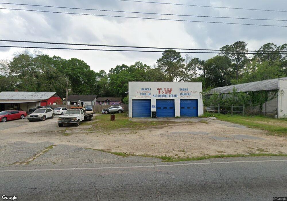
1320 E Broad Ave Albany, GA 31705
Estimated Value: $50,726
Studio
--
Bath
2,880
Sq Ft
$18/Sq Ft
Est. Value
About This Home
This home is located at 1320 E Broad Ave, Albany, GA 31705 and is currently estimated at $50,726, approximately $17 per square foot. 1320 E Broad Ave is a home located in Dougherty County with nearby schools including Robert H. Harvey Elementary School, Albany Middle School, and Dougherty Comprehensive High School.
Ownership History
Date
Name
Owned For
Owner Type
Purchase Details
Closed on
Dec 7, 2020
Sold by
Mckenzie Elizabeth V Executrix
Bought by
Mckenzie Elizabeth V
Current Estimated Value
Purchase Details
Closed on
Apr 27, 2009
Sold by
Smith Hugh H
Bought by
Mckenzie O T and Eubanks Malcolm R
Home Financials for this Owner
Home Financials are based on the most recent Mortgage that was taken out on this home.
Original Mortgage
$83,553
Interest Rate
5.01%
Mortgage Type
Future Advance Clause Open End Mortgage
Purchase Details
Closed on
Feb 3, 1953
Bought by
Hugh Smith
Create a Home Valuation Report for This Property
The Home Valuation Report is an in-depth analysis detailing your home's value as well as a comparison with similar homes in the area
Purchase History
| Date | Buyer | Sale Price | Title Company |
|---|---|---|---|
| Mckenzie Elizabeth V | -- | -- | |
| Mckenzie O T | $30,000 | -- | |
| Hugh Smith | -- | -- |
Source: Public Records
Mortgage History
| Date | Status | Borrower | Loan Amount |
|---|---|---|---|
| Previous Owner | Mckenzie O T | $83,553 |
Source: Public Records
Map
Nearby Homes
- 205 Collins St
- 210 S Carroll St
- 211 Collins St
- 1521 E Broad Ave
- 1318 E Roosevelt Ave
- 1502 E Roosevelt Ave
- 1417 E Roosevelt Ave
- 1400 E Lincoln Ave
- 1411 E Gordon Ave
- 608 Cason St
- 1401 E Waddell Ave
- 1403 E Waddell Ave
- 1323 E Society Ave
- 811 S Maple St
- 133 Thornton Dr
- 1003 E Residence Ave
- 1007 Swift St
- 1107 E 4th Ave
- 807 Hobson St
- 215 Franklin Dr
- 106 Collins St
- 1318 E Broad Ave
- 108 Collins St
- 1327 E Broad Ave
- 103 S Carroll St
- 1321 & 1323 E Broad Ave
- 1321 E Broad Ave
- 1323 E Broad Ave
- 1237 E Broad Ave
- 1231 E Broad Ave
- 110 Collins St
- 112 Collins St
- 113 S Carroll St
- 1313 E Broad Ave
- 1310 E Broad Ave
- 1329 E Broad Ave
- 109 Collins St
- 111 Collins St
- 200 Collins St
- 113 Collins St
Your Personal Tour Guide
Ask me questions while you tour the home.