1320 Embassy Dr Anderson, SC 29625
Estimated Value: $269,000 - $371,543
About This Home
This home is located at 1320 Embassy Dr, Anderson, SC 29625 and is currently estimated at $311,386, approximately $283 per square foot. 1320 Embassy Dr is a home with nearby schools including Pendleton High School.
Ownership History
We collect this data history from publicly available records. To have your information removed, we recommend requesting removal directly through your county’s website.
Purchase Details
Purchase Details
Purchase Details
Purchase Details
Home Values in the Area
Average Home Value in this Area
Purchase History
We collect this data history from publicly available records. To have your information removed, we recommend requesting removal directly through your county’s website.
| Date | Buyer | Sale Price | Title Company |
|---|---|---|---|
| -- | None Listed On Document | ||
| -- | None Listed On Document | ||
| -- | None Available | ||
| -- | None Available | ||
| $260,000 | None Available |
Tax History
We collect this data history from publicly available records. To have your information removed, we recommend requesting removal directly through your county’s website.
| Year | Tax Paid | Tax Assessment Tax Assessment Total Assessment is a certain percentage of the fair market value that is determined by local assessors to be the total taxable value of land and additions on the property. | Land | Improvement |
|---|---|---|---|---|
| 2025 | $1,850 | $11,750 | $8,180 | $3,570 |
| 2024 | $1,850 | $11,750 | $8,180 | $3,570 |
| 2023 | $3,819 | $11,750 | $8,180 | $3,570 |
| 2022 | $1,621 | $11,750 | $8,180 | $3,570 |
| 2021 | $1,452 | $10,390 | $7,440 | $2,950 |
| 2020 | $1,431 | $10,390 | $7,440 | $2,950 |
| 2019 | $5,155 | $15,580 | $11,160 | $4,420 |
| 2018 | $2,522 | $15,580 | $11,160 | $4,420 |
| 2017 | -- | $15,580 | $11,160 | $4,420 |
| 2016 | $2,152 | $16,340 | $11,880 | $4,460 |
| 2015 | $2,157 | $16,340 | $11,880 | $4,460 |
| 2014 | $2,158 | $16,340 | $11,880 | $4,460 |
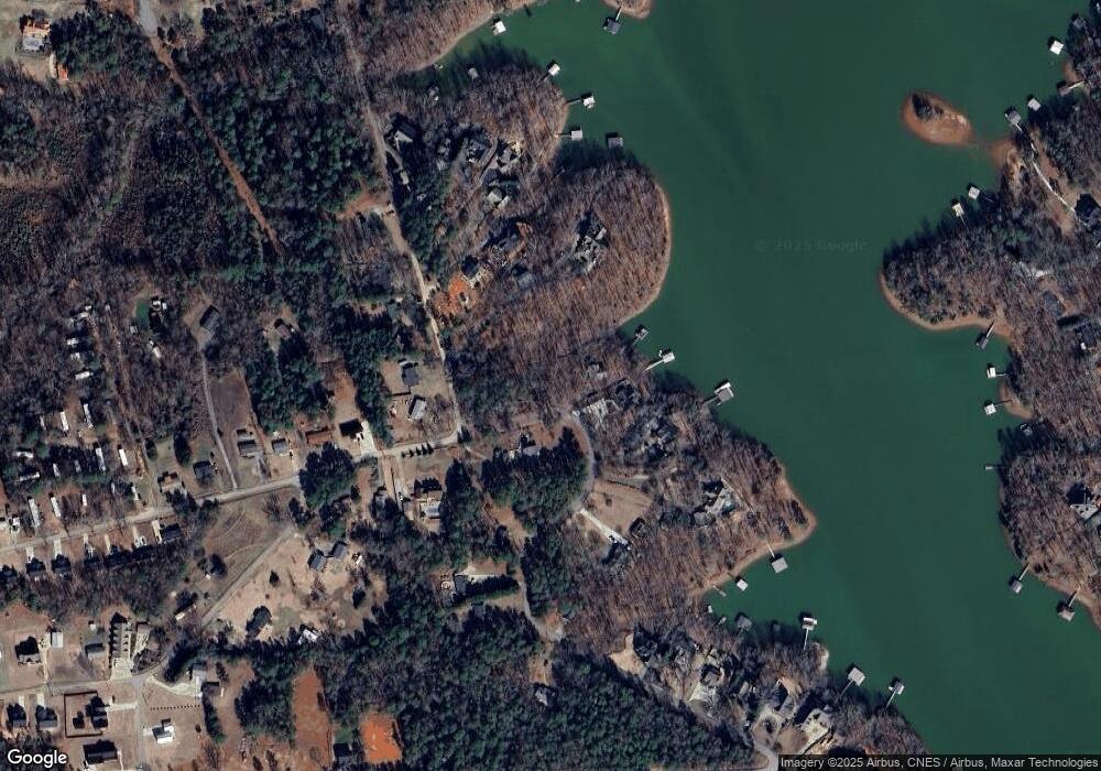
Map
- 1005 Embassy Dr
- 213 Jackson Cir
- 505 Jackson Cir
- 1006 Embassy Dr
- 135 Winding River Dr
- 1107 Williams Rd
- 113 Topsail Dr
- 317 Wham Rd
- 109 Kokomo Way
- 1143 Hawk Harbor Dr
- 117 Melia Ln
- 102 Topsail Dr
- 110 Tall Ship Dr
- 1059 Arnold Rd
- 130 Shirley Cir Unit Lot 101
- 130 Shirley Cir
- 132 Shirley Cir Unit Lot 102
- 132 Shirley Cir
- 243 Dockside Way
- 101 Drucker Ridge
- 1313 Embassy Dr
- 1314 Embassy Dr
- 221 Rock Creek Rd
- 219 Rock Creek Rd
- 228 Rock Creek Rd
- 226 Rock Creek Rd
- 1300 Embassy Dr
- 224 Rock Creek Rd
- 1221 Embassy Dr
- 1405 Embassy Dr
- 222 Rock Creek Rd
- 1218 Embassy Dr
- 217 Rock Creek Rd
- 1304 Embassy Dr
- 1304 Embassy Dr
- 1408 Embassy Dr
- 220 Rock Creek Rd
- 1407 Embassy Dr
- 1407 Embassy Dr
- 1219 Embassy Dr
Ask me questions while you tour the home.