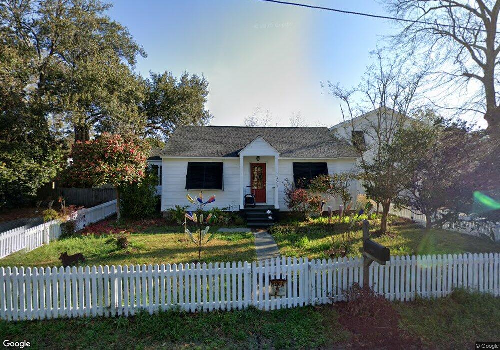
1320 Erckmann Dr Mount Pleasant, SC 29464
Old Village NeighborhoodEstimated Value: $1,300,425 - $1,475,000
3
Beds
2
Baths
1,547
Sq Ft
$903/Sq Ft
Est. Value
About This Home
This home is located at 1320 Erckmann Dr, Mount Pleasant, SC 29464 and is currently estimated at $1,396,856, approximately $902 per square foot. 1320 Erckmann Dr is a home located in Charleston County with nearby schools including Mt. Pleasant Academy, Moultrie Middle School, and Lucy Garrett Beckham High School.
Ownership History
Date
Name
Owned For
Owner Type
Purchase Details
Closed on
Sep 15, 2009
Sold by
Mayfield Oliver W
Bought by
Houpe Billie D
Current Estimated Value
Purchase Details
Closed on
Jul 11, 2005
Sold by
Carter Roscoe and Gribbons Deborah R
Bought by
Mayfield Oliver W and Houpe Billie D
Purchase Details
Closed on
Nov 9, 2004
Sold by
Carter Roscoe
Bought by
Carter Roscoe and Gribbons Deborah R
Purchase Details
Closed on
Jun 18, 2002
Sold by
Carter Ruth Martin
Bought by
Carter Ruth M
Purchase Details
Closed on
Apr 12, 1999
Sold by
Gaskins George H
Bought by
Gaskins George H
Create a Home Valuation Report for This Property
The Home Valuation Report is an in-depth analysis detailing your home's value as well as a comparison with similar homes in the area
Home Values in the Area
Average Home Value in this Area
Purchase History
| Date | Buyer | Sale Price | Title Company |
|---|---|---|---|
| Houpe Billie D | -- | -- | |
| Mayfield Oliver W | $210,000 | -- | |
| Carter Roscoe | -- | -- | |
| Carter Ruth M | -- | -- | |
| Gaskins George H | -- | -- |
Source: Public Records
Tax History
| Year | Tax Paid | Tax Assessment Tax Assessment Total Assessment is a certain percentage of the fair market value that is determined by local assessors to be the total taxable value of land and additions on the property. | Land | Improvement |
|---|---|---|---|---|
| 2024 | $1,634 | $13,830 | $0 | $0 |
| 2023 | $1,464 | $13,830 | $0 | $0 |
| 2022 | $1,328 | $13,830 | $0 | $0 |
| 2021 | $4,868 | $20,730 | $0 | $0 |
| 2020 | $4,809 | $13,830 | $0 | $0 |
| 2019 | $4,375 | $18,030 | $0 | $0 |
| 2017 | $3,743 | $15,950 | $0 | $0 |
| 2016 | $1,114 | $10,630 | $0 | $0 |
| 2015 | $1,161 | $10,630 | $0 | $0 |
| 2014 | $992 | $0 | $0 | $0 |
| 2011 | -- | $0 | $0 | $0 |
Source: Public Records
Map
Nearby Homes
- 1313 Lonnie Cir
- 1335 Erckmann Dr
- 747 Hill St
- 832 McCants Dr
- 810 McCants Dr
- 736 Atlantic St
- 1331 Pherigo St
- 733 Atlantic St
- 922 McCants Dr
- 725 King St
- 727 McCants Dr
- 1409 Barbara St
- 933 McCants Dr
- 952 McCants Dr
- 1428 Hindman Ave
- 1431 Hindman Ave
- 680 Atlantic St
- 1428 Goblet Ave
- 1405 Heather Dr
- 948 McCants Dr
- 1322 Erckmann Dr
- 0 Erckmann Dr
- 1314 Erckmann Dr
- 833 King St
- 1317 Lonnie Cir
- 1324 Erckmann Dr
- 1309 Lonnie Cir
- 1317 Erckmann Dr
- 1313 Erckmann Dr
- 1321 Lonnie Cir
- 1321 Erckmann Dr
- 1309 Erckmann Dr
- 1306 Erckmann Dr
- 1328 Erckmann Dr
- 1323 Erckmann Dr
- 1310 Lonnie Cir
- 1332 Erckmann Dr
- 1329 Erckmann Dr
- 1320 Lonnie Cir
- 1325 Lonnie Cir
Your Personal Tour Guide
Ask me questions while you tour the home.