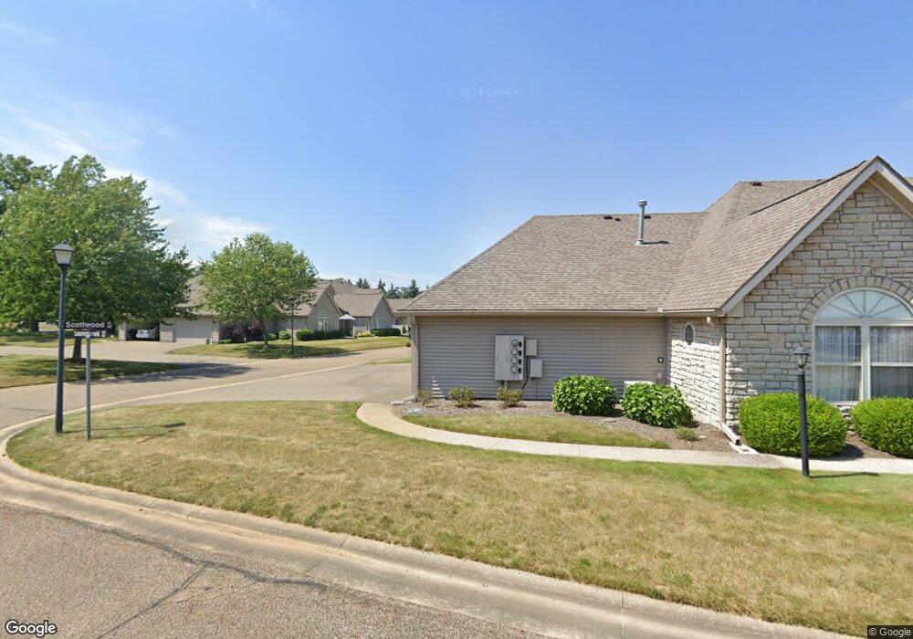
1320 Laurenbrook Ln NE Unit 1320 Massillon, OH 44646
Amherst Heights-Clearview NeighborhoodEstimated Value: $219,633 - $229,000
2
Beds
2
Baths
1,208
Sq Ft
$186/Sq Ft
Est. Value
About This Home
This home is located at 1320 Laurenbrook Ln NE Unit 1320, Massillon, OH 44646 and is currently estimated at $225,158, approximately $186 per square foot. 1320 Laurenbrook Ln NE Unit 1320 is a home located in Stark County with nearby schools including Massillon Intermediate School, Massillon Junior High School, and Washington High School.
Ownership History
Date
Name
Owned For
Owner Type
Purchase Details
Closed on
Jan 23, 2002
Sold by
Springhill Condominiums Inc
Bought by
Gothot Kimberly A
Current Estimated Value
Home Financials for this Owner
Home Financials are based on the most recent Mortgage that was taken out on this home.
Original Mortgage
$37,900
Outstanding Balance
$15,620
Interest Rate
7.16%
Estimated Equity
$209,538
Create a Home Valuation Report for This Property
The Home Valuation Report is an in-depth analysis detailing your home's value as well as a comparison with similar homes in the area
Home Values in the Area
Average Home Value in this Area
Purchase History
| Date | Buyer | Sale Price | Title Company |
|---|---|---|---|
| Gothot Kimberly A | $117,900 | -- |
Source: Public Records
Mortgage History
| Date | Status | Borrower | Loan Amount |
|---|---|---|---|
| Open | Gothot Kimberly A | $37,900 |
Source: Public Records
Tax History Compared to Growth
Tax History
| Year | Tax Paid | Tax Assessment Tax Assessment Total Assessment is a certain percentage of the fair market value that is determined by local assessors to be the total taxable value of land and additions on the property. | Land | Improvement |
|---|---|---|---|---|
| 2025 | -- | $59,990 | $12,460 | $47,530 |
| 2024 | -- | $59,990 | $12,460 | $47,530 |
| 2023 | $1,996 | $48,200 | $10,960 | $37,240 |
| 2022 | $2,021 | $48,200 | $10,960 | $37,240 |
| 2021 | $2,053 | $48,200 | $10,960 | $37,240 |
| 2020 | $1,815 | $41,660 | $8,790 | $32,870 |
| 2019 | $1,795 | $41,660 | $8,790 | $32,870 |
| 2018 | $1,784 | $41,660 | $8,790 | $32,870 |
| 2017 | $1,650 | $37,180 | $7,950 | $29,230 |
| 2016 | $1,678 | $37,180 | $7,950 | $29,230 |
| 2015 | $2,165 | $37,180 | $7,950 | $29,230 |
| 2014 | $131 | $35,360 | $8,720 | $26,640 |
| 2013 | $1,070 | $35,360 | $8,720 | $26,640 |
Source: Public Records
Map
Nearby Homes
- 932 Wales Rd NE
- 888 Seneca St NE
- 1706 Jefferson Rd NE
- 1112 State Ave NE
- 712 Harmon Place NE
- 740 Phillips Rd NE
- 819 Irvington Ave NE
- 719 17th St NE
- 742 Sheffield Ave NE
- 860 Franklin Rd NE
- 739 Vogel Ave NE
- 1717 Chittenden Cir NE
- 727 Franklin Rd NE
- 827 9th St NE
- 860 Milburn Rd NE
- 1224 North Ave NE
- 418 Korman Ave NE
- 1822 Wicliff Ave NE
- 1935 Stoner Ave NE
- 1012 Federal Ave NE
- 1330 Laurenbrook Ln NE Unit 1330
- 1325 Laurenbrook Ln NE
- 1035 Scottwood Place NE Unit 1035B
- 1335 Laurenbrook Ln NE Unit 1335B
- 1045 Scottwood Place NE Unit 1045C
- 1055 Scottwood Place NE Unit 1055C
- 1015 Scottwood Place NE Unit A
- 1065 Scottwood Place NE Unit 1065C
- 1025 Scottwood Place NE Unit 1025
- 1085 Scottwood Place NE Unit A
- 1245 Hankins Rd NE
- 944 Beiner Place NE
- 1437 Tylers Mill Ln NE Unit 1437
- 1438 Tylers Mill Ln NE Unit 1438
- 1537 Tylers Mill Ln NE Unit 1537
- 1490 Laurenbrook Ln NE Unit 1490
- 1470 Laurenbrook Ln NE Unit 1470
- 1350 Laurenbrook Ln NE Unit B
- 1370 Laurenbrook Ln NE
- 1385 Laurenbrook Ln NE