Estimated Value: $145,522 - $173,000
2
Beds
1
Bath
845
Sq Ft
$190/Sq Ft
Est. Value
About This Home
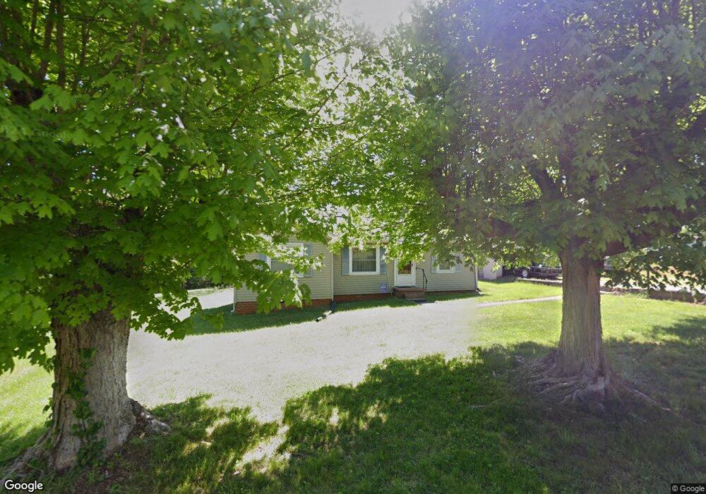
This home is located at 1320 Maple St, Elkin, NC 28621 and is currently estimated at $160,381, approximately $189 per square foot. 1320 Maple St is a home located in Surry County with nearby schools including Elkin Elementary School, Elkin Middle School, and Elkin High School.
Ownership History
Date
Name
Owned For
Owner Type
Purchase Details
Closed on
Mar 22, 2011
Sold by
Tilley David Lee and Tilley Bee Bee
Bought by
Tilley Roger D
Current Estimated Value
Home Financials for this Owner
Home Financials are based on the most recent Mortgage that was taken out on this home.
Original Mortgage
$55,100
Outstanding Balance
$38,077
Interest Rate
4.99%
Mortgage Type
New Conventional
Estimated Equity
$122,304
Purchase Details
Closed on
Aug 1, 1993
Purchase Details
Closed on
Aug 1, 1988
Purchase Details
Closed on
May 1, 1988
Purchase Details
Closed on
Apr 1, 1955
Purchase Details
Closed on
May 1, 1949
Create a Home Valuation Report for This Property
The Home Valuation Report is an in-depth analysis detailing your home's value as well as a comparison with similar homes in the area
Home Values in the Area
Average Home Value in this Area
Purchase History
| Date | Buyer | Sale Price | Title Company |
|---|---|---|---|
| Tilley Roger D | $50,000 | None Available | |
| -- | $34,000 | -- | |
| -- | $25,000 | -- | |
| -- | $19,000 | -- | |
| -- | -- | -- | |
| -- | -- | -- |
Source: Public Records
Mortgage History
| Date | Status | Borrower | Loan Amount |
|---|---|---|---|
| Open | Tilley Roger D | $55,100 |
Source: Public Records
Tax History
| Year | Tax Paid | Tax Assessment Tax Assessment Total Assessment is a certain percentage of the fair market value that is determined by local assessors to be the total taxable value of land and additions on the property. | Land | Improvement |
|---|---|---|---|---|
| 2025 | $523 | $74,090 | $13,200 | $60,890 |
| 2024 | $465 | $61,160 | $13,200 | $47,960 |
| 2023 | $452 | $61,160 | $13,200 | $47,960 |
| 2022 | $458 | $61,160 | $13,200 | $47,960 |
| 2021 | $465 | $61,160 | $13,200 | $47,960 |
| 2020 | $447 | $56,360 | $13,200 | $43,160 |
| 2019 | $444 | $56,360 | $0 | $0 |
| 2018 | $438 | $56,360 | $0 | $0 |
| 2017 | $441 | $56,360 | $0 | $0 |
| 2016 | $436 | $56,360 | $0 | $0 |
| 2013 | -- | $60,840 | $0 | $0 |
Source: Public Records
Map
Nearby Homes
- 229 Woodland Dr
- 120 Skyline Dr
- 219 W Highland Ave Unit AVW
- Lot 142,143,144,145 Claremont Dr
- TBD Claremont Dr
- 0 Claremont Dr
- 348 Woodland Dr
- 132 Oak Grove Rd
- 0 Johnson Ridge Rd
- 00 Johnson Ridge Rd
- 129 Lake St
- 0 Hickory St
- 211 Dutchman Creek Rd
- 490 Oakland Dr
- 0 N Carolina 268 Bypass Unit 1198325
- 340 Hillcrest Dr
- 363 Hawthorne Rd
- 000 Johnson Ridge Rd
- 734 Oakland Dr
- 121 Park Ridge Dr
- 1332 Maple St
- 1325 Maple St
- 1317 Maple St
- 1304 Maple St
- 0 Maple St Unit 940
- 155 E Highland Ave
- 00 Maple
- 1282 Maple St
- 143 E Highland Ave
- 154 E Highland Ave
- 1280 North St
- 135 Cox Ave
- 135 E Highland Ave
- 150 E Highland Ave
- 136 E Robin Rd
- 127 Cox Ave
- 142 E Highland Ave
- 1272 North St
- 129 E Highland Ave
- 151 Woodruff St
Your Personal Tour Guide
Ask me questions while you tour the home.