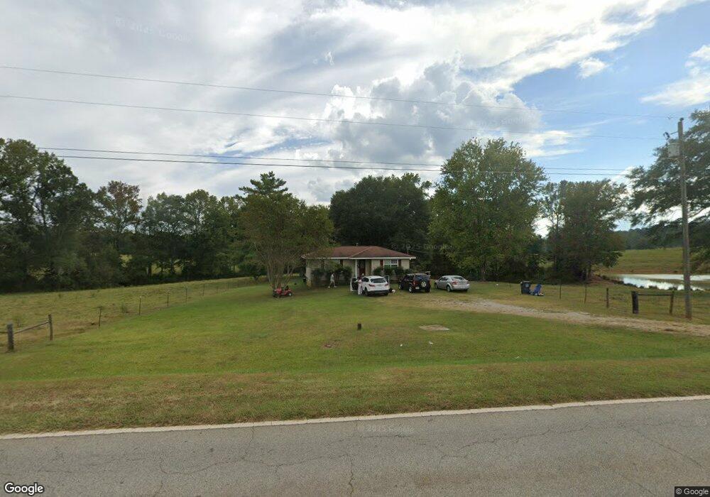
1320 Mount Zion Rd Carrollton, GA 30117
Estimated Value: $135,000 - $218,000
2
Beds
1
Bath
776
Sq Ft
$215/Sq Ft
Est. Value
About This Home
This home is located at 1320 Mount Zion Rd, Carrollton, GA 30117 and is currently estimated at $166,873, approximately $215 per square foot. 1320 Mount Zion Rd is a home located in Carroll County with nearby schools including Mt. Zion Elementary School, Mt. Zion Middle School, and Mt. Zion High School.
Ownership History
Date
Name
Owned For
Owner Type
Purchase Details
Closed on
May 19, 2020
Sold by
Cantrell Teddy J
Bought by
Fairview Partnership Lllp
Current Estimated Value
Purchase Details
Closed on
Mar 24, 1999
Sold by
Andrew Frances H
Bought by
Cantrell Teddy J
Purchase Details
Closed on
Apr 24, 1995
Bought by
Andrew Frances H
Purchase Details
Closed on
Apr 21, 1995
Bought by
Andrew Frances H
Purchase Details
Closed on
Apr 16, 1995
Bought by
Andrew Frances H
Purchase Details
Closed on
Apr 12, 1995
Bought by
Andrew Frances H
Create a Home Valuation Report for This Property
The Home Valuation Report is an in-depth analysis detailing your home's value as well as a comparison with similar homes in the area
Home Values in the Area
Average Home Value in this Area
Purchase History
| Date | Buyer | Sale Price | Title Company |
|---|---|---|---|
| Fairview Partnership Lllp | $75,000 | -- | |
| Cantrell Teddy J | $60,000 | -- | |
| Andrew Frances H | -- | -- | |
| Andrew Frances H | $21,700 | -- | |
| Andrew Frances H | -- | -- | |
| Andrew Frances H | -- | -- |
Source: Public Records
Tax History Compared to Growth
Tax History
| Year | Tax Paid | Tax Assessment Tax Assessment Total Assessment is a certain percentage of the fair market value that is determined by local assessors to be the total taxable value of land and additions on the property. | Land | Improvement |
|---|---|---|---|---|
| 2025 | $671 | $30,000 | $4,062 | $25,938 |
| 2024 | $679 | $30,000 | $4,062 | $25,938 |
| 2023 | $679 | $31,252 | $4,232 | $27,020 |
| 2022 | $587 | $23,421 | $2,821 | $20,600 |
| 2021 | $511 | $19,933 | $2,257 | $17,676 |
| 2020 | $453 | $17,646 | $1,758 | $15,888 |
| 2019 | $421 | $16,271 | $1,758 | $14,513 |
| 2016 | $359 | $13,606 | $1,000 | $12,606 |
| 2015 | $377 | $13,476 | $3,593 | $9,883 |
| 2014 | $378 | $13,476 | $3,593 | $9,883 |
Source: Public Records
Map
Nearby Homes
- 132 Pinnacle Way
- 1423 Beulah Church Rd
- 0 Skinner Rd
- 223 Riversong Rd Unit 55
- 223 Riversong Rd
- 106 Summerfield Place Dr
- 1915 Whooping Creek Church Road - Tract #1
- 1915 Whooping Creek Church Road - Tract #2
- 000 Beulah Church Rd
- The Joey Plan at Hidden Hills
- The Daniel Plan at Hidden Hills
- 0 Beulah Church Rd Unit 10366052
- 142 Riversong Rd Unit 56
- 181 Riversong Rd Unit 55
- 181 Riversong Rd
- 142 Riversong Rd
- 442 Plowshare Rd
- 2080 Mount Zion Rd
- 127 S Ole Hickory Trail
- 127 S Ole Hickory Trail Unit 101
- 1376 Mount Zion Rd
- 1430 Mount Zion Rd
- 1444 Mount Zion Rd
- 11 Pinnacle Way
- 1296 Mount Zion Rd
- 21 Pinnacle Way
- 1282 Mount Zion Rd
- 1289 Mount Zion Rd
- 10 Pinnacle Way
- 1476 Mount Zion Rd
- 24 Pinnacle Way
- 1510 Mount Zion Rd
- 33 Pinnacle Way
- 16 Pinnacle Way
- 15 Westwood Ct
- 38 Pinnacle Way
- 1274 Mount Zion Rd
- 0 Westwood Ct Unit 8367686
- 27 Westwood Ct
- 50 Pinnacle Way