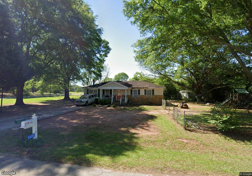
1320 Mountain Brook Dr Thomaston, GA 30286
Estimated Value: $117,000 - $174,000
2
Beds
2
Baths
1,152
Sq Ft
$132/Sq Ft
Est. Value
About This Home
This home is located at 1320 Mountain Brook Dr, Thomaston, GA 30286 and is currently estimated at $152,512, approximately $132 per square foot. 1320 Mountain Brook Dr is a home located in Upson County with nearby schools including Upson-Lee South Elementary School, Upson-Lee North Elementary School, and Upson-Lee Middle School.
Ownership History
Date
Name
Owned For
Owner Type
Purchase Details
Closed on
Jul 25, 2006
Sold by
Not Provided
Bought by
Martin Melinda Dale and Martin James William
Current Estimated Value
Home Financials for this Owner
Home Financials are based on the most recent Mortgage that was taken out on this home.
Original Mortgage
$63,900
Outstanding Balance
$38,124
Interest Rate
6.74%
Mortgage Type
New Conventional
Estimated Equity
$114,388
Create a Home Valuation Report for This Property
The Home Valuation Report is an in-depth analysis detailing your home's value as well as a comparison with similar homes in the area
Home Values in the Area
Average Home Value in this Area
Purchase History
| Date | Buyer | Sale Price | Title Company |
|---|---|---|---|
| Martin Melinda Dale | -- | -- |
Source: Public Records
Mortgage History
| Date | Status | Borrower | Loan Amount |
|---|---|---|---|
| Open | Martin Melinda Dale | $63,900 |
Source: Public Records
Tax History Compared to Growth
Tax History
| Year | Tax Paid | Tax Assessment Tax Assessment Total Assessment is a certain percentage of the fair market value that is determined by local assessors to be the total taxable value of land and additions on the property. | Land | Improvement |
|---|---|---|---|---|
| 2024 | $940 | $35,660 | $4,800 | $30,860 |
| 2023 | $936 | $34,437 | $4,800 | $29,637 |
| 2022 | $799 | $28,824 | $4,800 | $24,024 |
| 2021 | $713 | $27,068 | $4,800 | $22,268 |
| 2020 | $730 | $25,872 | $4,800 | $21,072 |
| 2019 | $738 | $24,078 | $4,800 | $19,278 |
| 2018 | $538 | $17,533 | $3,840 | $13,693 |
| 2017 | $506 | $17,047 | $3,840 | $13,207 |
| 2016 | $499 | $16,610 | $3,840 | $12,770 |
| 2015 | $500 | $16,610 | $3,840 | $12,770 |
| 2014 | $500 | $16,610 | $3,840 | $12,770 |
Source: Public Records
Map
Nearby Homes
- 1205 Shady Ln
- 657 Tom McKinley Rd
- 201 Creekside Manor Dr
- 1412 & 1418 Yatesville Hwy
- LOT 193 Morningside Ct
- LOT 195 Morningside Ct
- LOT 194 Morningside Ct
- 108 Avenue G
- 556 Sunnyland Dr
- 113 Park Ln
- 524 Sunnyland Dr
- 87 Avenue H
- 216 E Moores Crossing Rd
- 221 Avenue L
- 807 Triune Mill Rd
- 354 S Main St
- 2615 Barnesville Hwy
- 705 Triune Mill Rd
- LOT 10 Triune Mill Rd
- 525 6th Ave
- 1217 Shady Ln
- 1318 Mountain Brook Dr
- 1321 Mountain Brook Dr
- 1319 Mountain Brook Dr
- 1215 Shady Ln
- 1324 Mountain Brook Dr
- 1144 Old Yatesville Rd
- 1316 Mountain Brook Dr
- 1332 Old Yatesville Rd
- 1317 Mountain Brook Dr
- 1325 Mountain Brook Dr
- 1218 Shady Ln
- 1213 Shady Ln
- 1326 Mountain Brook Dr
- 1314 Mountain Brook Dr
- 1214 Shady Ln
- 1327 Mountain Brook Dr
- 1142 Vestavia Ln
- 1148 Vestavia Ln
- 1211 Shady Ln