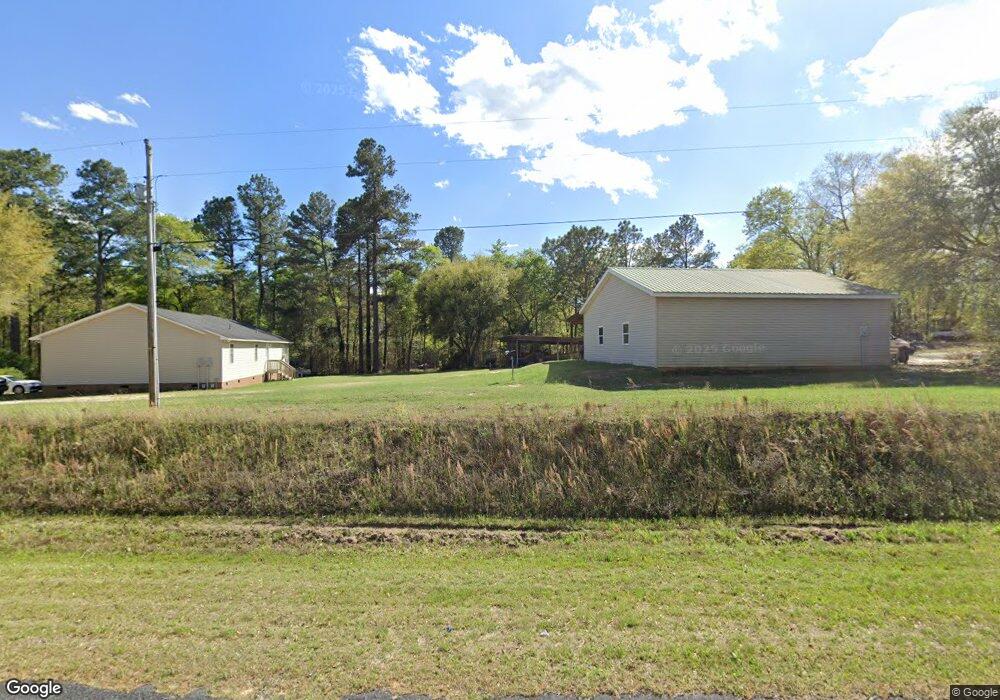
1320 Mulberry Rd Barnwell, SC 29812
Estimated Value: $191,000 - $271,000
Studio
--
Bath
--
Sq Ft
174,240
Sq Ft Lot
About This Home
This home is located at 1320 Mulberry Rd, Barnwell, SC 29812 and is currently estimated at $224,617. 1320 Mulberry Rd is a home located in Barnwell County with nearby schools including Barnwell Primary School, Barnwell Elementary School, and Guinyard-Butler Middle School.
Ownership History
Date
Name
Owned For
Owner Type
Purchase Details
Closed on
Aug 19, 2021
Sold by
Ray Jr Timothy C
Bought by
Ray Christopher
Current Estimated Value
Home Financials for this Owner
Home Financials are based on the most recent Mortgage that was taken out on this home.
Original Mortgage
$115,200
Outstanding Balance
$103,844
Interest Rate
2.9%
Mortgage Type
New Conventional
Estimated Equity
$120,773
Purchase Details
Closed on
Nov 5, 1996
Sold by
Ray Timothy C
Bought by
Ray James R
Create a Home Valuation Report for This Property
The Home Valuation Report is an in-depth analysis detailing your home's value as well as a comparison with similar homes in the area
Purchase History
| Date | Buyer | Sale Price | Title Company |
|---|---|---|---|
| Ray Christopher | $144,000 | None Listed On Document | |
| Ray James R | $800 | -- |
Source: Public Records
Mortgage History
| Date | Status | Borrower | Loan Amount |
|---|---|---|---|
| Open | Ray Christopher | $115,200 |
Source: Public Records
Tax History
| Year | Tax Paid | Tax Assessment Tax Assessment Total Assessment is a certain percentage of the fair market value that is determined by local assessors to be the total taxable value of land and additions on the property. | Land | Improvement |
|---|---|---|---|---|
| 2025 | $1,096 | $6,350 | $0 | $0 |
| 2024 | $1,096 | $5,520 | $0 | $0 |
| 2023 | $1,069 | $5,520 | $0 | $0 |
| 2022 | $1,159 | $5,520 | $0 | $0 |
| 2021 | $1,190 | $5,840 | $0 | $0 |
| 2020 | $1,171 | $5,800 | $0 | $0 |
| 2019 | $1,122 | $5,800 | $0 | $0 |
| 2018 | $1,092 | $5,800 | $0 | $0 |
| 2017 | $1,071 | $5,800 | $460 | $5,340 |
| 2016 | $1,081 | $5,800 | $460 | $5,340 |
| 2014 | -- | $5,040 | $390 | $4,650 |
| 2012 | -- | $5,040 | $390 | $4,650 |
Source: Public Records
Map
Nearby Homes
- Tbd Mulberry Rd
- TBD 1 Juniper Rd
- 0 Thunder Rd Unit 26098801
- 15379 Low Country Hwy
- 15340 Low Country Hwy
- 0 Carolina Hwy Unit 26001451
- 485 Weed Ave
- 14666 Low Country Hwy
- 247 Horseshoe Trail
- 5046 U S 278
- 0 Londe Ln
- 31 Pecan Ln
- 0000 Sapling Rd
- 121 Atlantic Ave
- 145 N Clemson Dr
- 106 Millhouse Rd
- 8280 Marlboro Ave
- 2734 Burtons Ferry Hwy
- 00 State Road S-6-706
- 51 State Road S-6-706
- 443 McKindelk Rd
- 990 Mulberry Rd
- 839 Beech Rd
- 1210 Blossom Rd
- 839 Beech Rd
- 226 McKindelk Rd
- 645 Beech Rd
- 2161 Mulberry Rd
- 763 Blossom Rd
- 36 McKindelk Rd
- 2400 Sc Highway 64
- 2050 Sc Highway 64
- 2166 Sc Highway 64
- 1881 Sc Highway 64
- 1875 Sc Highway 64
- 1968 Sc Highway 64
- 00 Highway 64
- 1880 Sc Highway 64
- 361 Mulberry Rd
- 265 Blossom Rd
Your Personal Tour Guide
Ask me questions while you tour the home.