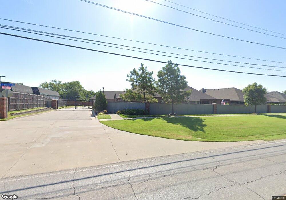
1320 N Nyssa Ave Broken Arrow, OK 74012
Southbrook NeighborhoodEstimated Value: $309,384 - $373,000
--
Bed
--
Bath
1,849
Sq Ft
$186/Sq Ft
Est. Value
About This Home
This home is located at 1320 N Nyssa Ave, Broken Arrow, OK 74012 and is currently estimated at $343,596, approximately $185 per square foot. 1320 N Nyssa Ave is a home with nearby schools including Peters Elementary School, Union 8th Grade Center, and Union 6th-7th Grade Center.
Ownership History
Date
Name
Owned For
Owner Type
Purchase Details
Closed on
Jul 12, 2018
Sold by
Silvercrest Homes Llc
Bought by
Holladay Charles R and Holladay Tonya A
Current Estimated Value
Home Financials for this Owner
Home Financials are based on the most recent Mortgage that was taken out on this home.
Original Mortgage
$150,000
Outstanding Balance
$89,144
Interest Rate
4.5%
Mortgage Type
New Conventional
Estimated Equity
$254,452
Create a Home Valuation Report for This Property
The Home Valuation Report is an in-depth analysis detailing your home's value as well as a comparison with similar homes in the area
Home Values in the Area
Average Home Value in this Area
Purchase History
| Date | Buyer | Sale Price | Title Company |
|---|---|---|---|
| Holladay Charles R | $235,000 | None Available |
Source: Public Records
Mortgage History
| Date | Status | Borrower | Loan Amount |
|---|---|---|---|
| Open | Holladay Charles R | $150,000 |
Source: Public Records
Tax History Compared to Growth
Tax History
| Year | Tax Paid | Tax Assessment Tax Assessment Total Assessment is a certain percentage of the fair market value that is determined by local assessors to be the total taxable value of land and additions on the property. | Land | Improvement |
|---|---|---|---|---|
| 2025 | $3,803 | $28,967 | $5,410 | $23,557 |
| 2024 | $3,516 | $28,095 | $5,012 | $23,083 |
| 2023 | $3,516 | $28,247 | $4,981 | $23,266 |
| 2022 | $3,439 | $26,424 | $5,449 | $20,975 |
| 2021 | $3,345 | $25,626 | $5,285 | $20,341 |
| 2020 | $3,266 | $24,850 | $5,287 | $19,563 |
| 2019 | $3,260 | $24,850 | $5,287 | $19,563 |
| 2018 | $2,072 | $15,840 | $5,500 | $10,340 |
| 2017 | $77 | $584 | $584 | $0 |
Source: Public Records
Map
Nearby Homes
- 1316 N Nyssa Ave
- 3413 W Norman St
- 3108 W Norman Cir
- 3033 W Oakland St
- 2909 W Oakland St
- 6712 S 136th Ave E
- 0 S 136th East Ave
- 1312 N Willow Ave
- 1429 N Yellowood Ave
- 3309 W Freeport St
- 1218 N Elder Ave
- 409 N Palm Ave
- 2416 W Lansing Place
- 2701 W Madison St
- 208 N Nyssa Ave
- 708 N Aster Ave
- 4441 W Queens St
- 3902 W Kenosha St
- 905 N Butternut Ave
- Lee II Plan at Bricktown East - Broken Arrow
- 1312 N Nyssa Ave
- 1308 N Nyssa Ave
- 1304 N Nyssa Ave
- 1300 N Nyssa Ave
- 3416 W Norman St
- 1296 N Nyssa Ave
- 3412 W Norman St
- 3405 W Norman Place
- 3408 W Norman St
- 3401 W Norman Place
- 1292 N Nyssa Ave
- 3404 W Norman St
- 3396 W Norman Place
- 3397 W Norman Place
- 3400 W Norman St
- 3409 W Norman St
- 1323 N Magnolia Ave
- 3413 W Oakland St
- 1315 N Magnolia Ave
- 1311 N Magnolia Ave
