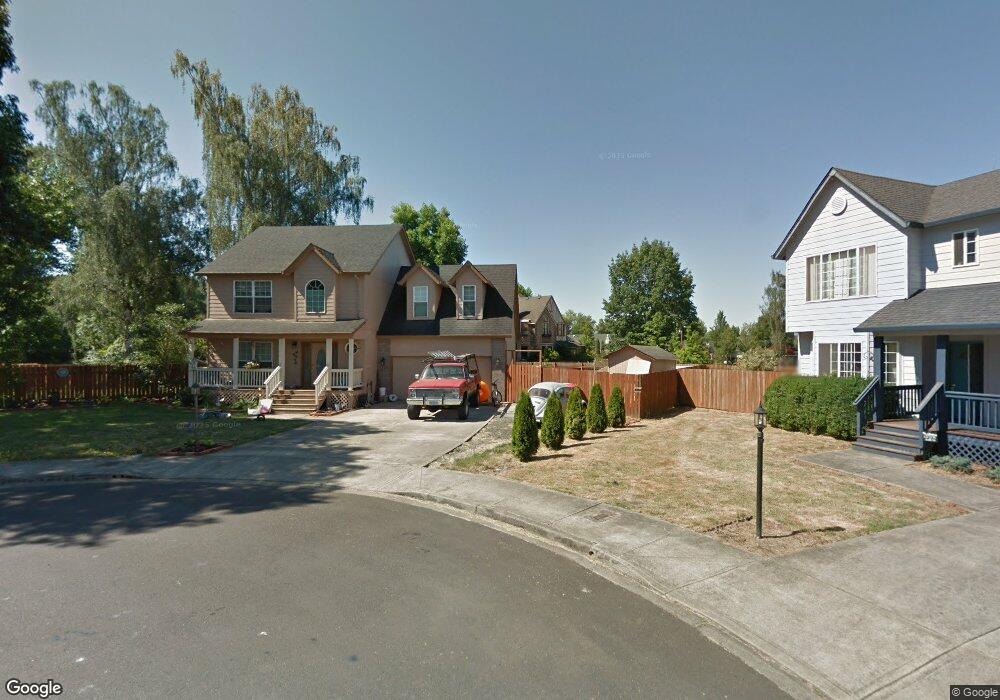
1320 NW Pacific Place Sheridan, OR 97378
Estimated Value: $387,000 - $415,000
3
Beds
4
Baths
1,664
Sq Ft
$240/Sq Ft
Est. Value
About This Home
This home is located at 1320 NW Pacific Place, Sheridan, OR 97378 and is currently estimated at $399,308, approximately $239 per square foot. 1320 NW Pacific Place is a home located in Yamhill County with nearby schools including Faulconer-Chapman School, Sheridan High School, and Sheridan Allprep Academy.
Ownership History
Date
Name
Owned For
Owner Type
Purchase Details
Closed on
Sep 11, 2009
Sold by
Collins Phillip J
Bought by
Holsclaw Ali J
Current Estimated Value
Home Financials for this Owner
Home Financials are based on the most recent Mortgage that was taken out on this home.
Original Mortgage
$187,582
Outstanding Balance
$122,054
Interest Rate
5.25%
Mortgage Type
FHA
Estimated Equity
$277,254
Create a Home Valuation Report for This Property
The Home Valuation Report is an in-depth analysis detailing your home's value as well as a comparison with similar homes in the area
Home Values in the Area
Average Home Value in this Area
Purchase History
| Date | Buyer | Sale Price | Title Company |
|---|---|---|---|
| Holsclaw Ali J | $206,936 | Ticor Title Insurance Co |
Source: Public Records
Mortgage History
| Date | Status | Borrower | Loan Amount |
|---|---|---|---|
| Open | Holsclaw Ali J | $187,582 |
Source: Public Records
Tax History Compared to Growth
Tax History
| Year | Tax Paid | Tax Assessment Tax Assessment Total Assessment is a certain percentage of the fair market value that is determined by local assessors to be the total taxable value of land and additions on the property. | Land | Improvement |
|---|---|---|---|---|
| 2025 | $3,135 | $231,257 | -- | -- |
| 2024 | $2,879 | $224,521 | -- | -- |
| 2023 | $2,796 | $217,982 | $0 | $0 |
| 2022 | $2,718 | $211,633 | $0 | $0 |
| 2021 | $3,077 | $205,469 | $0 | $0 |
| 2020 | $2,972 | $199,484 | $0 | $0 |
| 2019 | $2,920 | $193,674 | $0 | $0 |
| 2018 | $2,838 | $188,033 | $0 | $0 |
| 2017 | $2,785 | $182,556 | $0 | $0 |
| 2016 | $2,658 | $177,239 | $0 | $0 |
| 2015 | $2,551 | $172,078 | $0 | $0 |
| 2014 | $2,447 | $167,068 | $0 | $0 |
Source: Public Records
Map
Nearby Homes
- 1315 W Main St
- 735 SW Mill St
- 0 NW Viola St
- 617 SW Monroe St
- 240 SW Jefferson St
- 370 NW Yamhill St
- 24550 SW Red Prairie Rd
- 328 NW Sherman St
- 240 NW Sagan Loop
- 18940 SW Canyon Rd
- 518 S Bridge St
- 119 NW Sherman St
- 21000 SW Canyon Rd
- 243 SE Harney St
- 24291 SW Rogers Rd
- 740 SE Alicia St
- 25110 SW Red Prairie Rd
- Lot 9 Moriah Ln
- 0 Moriah Ln
- 1200 Blk NE Center St Unit Parcel 4
- 1310 NW Pacific Place
- 1315 NW Pacific Place
- 1305 NW Pacific Place
- 1295 NW Pacific Place
- 1280 NW Pacific Place
- 1330 W Main St
- 1330 W Main St Unit 3
- 1330 W Main St Unit 8
- 1241 W Main St
- 1226 W Main St
- 1210 W Main St
- 1341 W Main St
- 1360 W Main St
- 1430 W Main St
- 1168 W Main St
- 1439 W Main St
- 1145 W Main St
- 1444 W Main St Unit 2
- 1444 W Main St
- 1485 W Main St