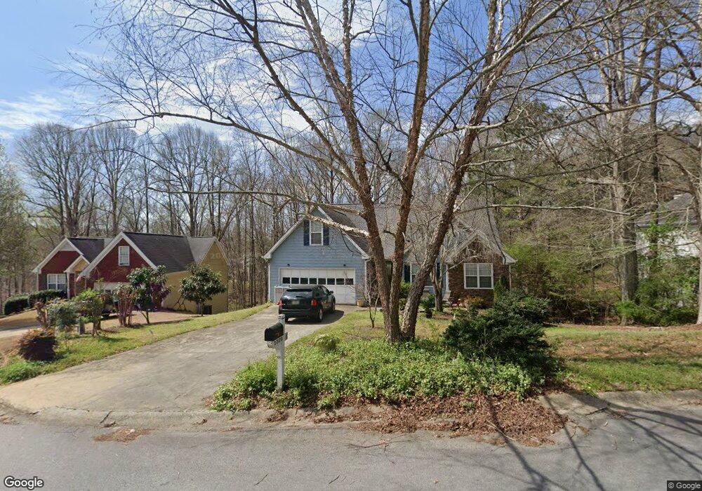
1320 Smoke Hill Dr Unit 2 Hoschton, GA 30548
Estimated Value: $399,636 - $424,000
3
Beds
2
Baths
1,685
Sq Ft
$244/Sq Ft
Est. Value
About This Home
This home is located at 1320 Smoke Hill Dr Unit 2, Hoschton, GA 30548 and is currently estimated at $410,659, approximately $243 per square foot. 1320 Smoke Hill Dr Unit 2 is a home located in Gwinnett County with nearby schools including Duncan Creek Elementary School, Frank N. Osborne Middle School, and Mill Creek High School.
Ownership History
Date
Name
Owned For
Owner Type
Purchase Details
Closed on
Aug 8, 1997
Sold by
Northridge Communities Inc
Bought by
Baker Michael G and Baker Nancee R
Current Estimated Value
Home Financials for this Owner
Home Financials are based on the most recent Mortgage that was taken out on this home.
Original Mortgage
$121,125
Outstanding Balance
$16,701
Interest Rate
6.62%
Mortgage Type
New Conventional
Estimated Equity
$393,958
Create a Home Valuation Report for This Property
The Home Valuation Report is an in-depth analysis detailing your home's value as well as a comparison with similar homes in the area
Home Values in the Area
Average Home Value in this Area
Purchase History
| Date | Buyer | Sale Price | Title Company |
|---|---|---|---|
| Baker Michael G | $127,500 | -- |
Source: Public Records
Mortgage History
| Date | Status | Borrower | Loan Amount |
|---|---|---|---|
| Open | Baker Michael G | $121,125 |
Source: Public Records
Tax History Compared to Growth
Tax History
| Year | Tax Paid | Tax Assessment Tax Assessment Total Assessment is a certain percentage of the fair market value that is determined by local assessors to be the total taxable value of land and additions on the property. | Land | Improvement |
|---|---|---|---|---|
| 2024 | $999 | $160,360 | $31,200 | $129,160 |
| 2023 | $999 | $160,360 | $31,200 | $129,160 |
| 2022 | $960 | $141,160 | $24,000 | $117,160 |
| 2021 | $944 | $99,880 | $18,000 | $81,880 |
| 2020 | $942 | $99,880 | $18,000 | $81,880 |
| 2019 | $2,727 | $87,040 | $17,200 | $69,840 |
| 2018 | $2,728 | $87,040 | $17,200 | $69,840 |
| 2016 | $2,557 | $78,040 | $14,000 | $64,040 |
| 2015 | $2,410 | $70,720 | $12,800 | $57,920 |
| 2014 | -- | $54,080 | $10,800 | $43,280 |
Source: Public Records
Map
Nearby Homes
- 1330 Smoke Hill Dr
- 4910 Sierra Creek Dr NE
- 662 Eagles Nest Cir
- 1480 Smoke Hill Dr
- 4819 Sierra Creek Dr
- 4669 Sierra Creek Dr
- 4685 Braselton Hwy
- 1874 Granite Hill Ct
- 4276 Azalea Ridge Way
- 4286 Azalea Ridge Dr
- 4297 Azalea Ridge Dr
- 4266 Azalea Ridge Dr
- 4420 Elvie Way
- 5110 Mulberry Pass Ct
- 1767 Honey Tree Place
- 2013 Skybrooke Ln
- 5130 Woodline View Cir
- 4759 Highland Point Dr
- 1310 Smoke Hill Dr
- 1230 Smoke Hill Ln
- 1340 Smoke Hill Dr Unit 2
- 1300 Smoke Hill Dr
- 1325 Smoke Hill Dr NE
- 1325 Smoke Hill Dr
- 1335 Smoke Hill Dr
- 1220 Smoke Hill Ln
- 1305 Smoke Hill Dr
- 1305 Smoke Hill Dr NE
- 1360 Smoke Hill Dr
- 1315 Smoke Hill Dr
- 1240 Smoke Hill Ln Unit 2
- 1355 Smoke Hill Dr Unit 2
- 1210 Smoke Hill Ln
- 1370 Smoke Hill Dr Unit 2
- 1200 Smoke Hill Ln Unit 2
- 1235 Smoke Hill Ln
- 4363 Blue Smoke Trail
- 1365 Smoke Hill Dr Unit 2