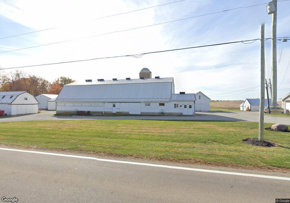
1320 State Route 119 Minster, OH 45865
Estimated Value: $428,000
3
Beds
2
Baths
1,831
Sq Ft
$234/Sq Ft
Est. Value
About This Home
This home is located at 1320 State Route 119, Minster, OH 45865 and is currently estimated at $428,000, approximately $233 per square foot. 1320 State Route 119 is a home located in Auglaize County with nearby schools including Marion Local Elementary School and Marion Local High School.
Ownership History
Date
Name
Owned For
Owner Type
Purchase Details
Closed on
Dec 14, 2023
Sold by
Albers Holdings Llc
Bought by
Larry J And Carolyn V Albers Joint Irrevocabl and Albers
Current Estimated Value
Purchase Details
Closed on
Mar 23, 2016
Sold by
Albers Larry J and Albers Carolyn V
Bought by
Albers Holdings Llc
Purchase Details
Closed on
May 5, 1995
Sold by
Albers Larry
Bought by
Albers Larry J
Create a Home Valuation Report for This Property
The Home Valuation Report is an in-depth analysis detailing your home's value as well as a comparison with similar homes in the area
Purchase History
| Date | Buyer | Sale Price | Title Company |
|---|---|---|---|
| Larry J And Carolyn V Albers Joint Irrevocabl | -- | None Listed On Document | |
| Albers Holdings Llc | -- | Attorney | |
| Albers Larry J | -- | -- |
Source: Public Records
Tax History
| Year | Tax Paid | Tax Assessment Tax Assessment Total Assessment is a certain percentage of the fair market value that is determined by local assessors to be the total taxable value of land and additions on the property. | Land | Improvement |
|---|---|---|---|---|
| 2025 | $6,216 | $110,170 | $49,350 | $60,820 |
| 2024 | $6,216 | $110,170 | $49,350 | $60,820 |
| 2023 | $3,197 | $110,170 | $49,350 | $60,820 |
| 2022 | $2,486 | $85,720 | $38,020 | $47,700 |
| 2021 | $2,453 | $81,920 | $38,020 | $43,900 |
| 2020 | $1,226 | $81,922 | $38,021 | $43,901 |
| 2019 | $2,836 | $81,922 | $38,021 | $43,901 |
| 2018 | $2,836 | $81,922 | $38,021 | $43,901 |
| 2017 | $2,658 | $81,922 | $38,021 | $43,901 |
| 2016 | $2,395 | $72,471 | $32,725 | $39,746 |
| 2015 | $2,392 | $72,471 | $32,725 | $39,746 |
| 2014 | $2,435 | $72,471 | $32,725 | $39,746 |
| 2013 | $2,053 | $65,034 | $25,288 | $39,746 |
Source: Public Records
Map
Nearby Homes
- 1991 Minster Egypt Pike
- 2109 Thobe Ln
- 2102 Thobe Ln
- 2065 Thobe Ln
- 2079 Thobe Ln
- 2093 Thobe Ln
- 31 Melcher St
- 7 E 2nd St
- 561 S Walnut St Unit Lot3
- 17 Stonegate Dr
- 312 Margaret St
- 316 Margaret St
- 323 Margaret St
- 0 Stonegate Dr Unit 14 10544847
- 0 Stonegate Dr Unit 21 10544857
- 36 Shania Place Unit 23
- 28 Shania Place Unit 33
- 19 Shania Place Unit 33
- 27 Shania Place Unit 26
- 217 S Washington St
- 1291 State Route 119
- 1467 State Route 119
- 1768 State Route 119
- 1113 State Route 119
- 4127 State Route 364
- 4107 State Route 364
- 3544 State Route 364
- 1814 State Route 119
- 4394 State Route 364
- 1834 State Route 119
- 1864 State Route 119
- 1912 State Route 119
- 4538 State Route 364
- 3402 Sommers Rd
- 1942 State Route 119
- 876 Heitkamp Rd
- 3967 Tri Township Rd
- 3833 Tri Township Rd
- 3939 Tri Township Rd
- 846 Heitkamp Rd
Your Personal Tour Guide
Ask me questions while you tour the home.