1320 Terminal St Orrville, OH 44667
Estimated Value: $231,000 - $252,000
3
Beds
2
Baths
1,368
Sq Ft
$175/Sq Ft
Est. Value
About This Home
This home is located at 1320 Terminal St, Orrville, OH 44667 and is currently estimated at $240,009, approximately $175 per square foot. 1320 Terminal St is a home located in Wayne County with nearby schools including Orrville Elementary School, Orrville Middle School, and Orrville High School.
Ownership History
Date
Name
Owned For
Owner Type
Purchase Details
Closed on
Apr 11, 2017
Sold by
Hunter Scherry A
Bought by
Hunter Scherry A and Hunter Michael T
Current Estimated Value
Purchase Details
Closed on
Apr 1, 2017
Sold by
Lacy Jeffrey M
Bought by
Hunter Scherry A and Hunter Michael T
Purchase Details
Closed on
Mar 30, 2017
Sold by
Lacy James D
Bought by
Hunter Scherry A and Hunter Michael T
Purchase Details
Closed on
May 18, 2015
Sold by
Estate Of James Dewey
Bought by
Lacy Dora A
Purchase Details
Closed on
May 21, 1986
Bought by
Lacy Lacy J and Lacy Dora A
Create a Home Valuation Report for This Property
The Home Valuation Report is an in-depth analysis detailing your home's value as well as a comparison with similar homes in the area
Home Values in the Area
Average Home Value in this Area
Purchase History
| Date | Buyer | Sale Price | Title Company |
|---|---|---|---|
| Hunter Scherry A | -- | None Available | |
| Hunter Scherry A | -- | None Available | |
| Hunter Scherry A | -- | None Available | |
| Lacy Dora A | -- | Attorney | |
| Lacy Lacy J | $79,000 | -- |
Source: Public Records
Tax History Compared to Growth
Tax History
| Year | Tax Paid | Tax Assessment Tax Assessment Total Assessment is a certain percentage of the fair market value that is determined by local assessors to be the total taxable value of land and additions on the property. | Land | Improvement |
|---|---|---|---|---|
| 2024 | $2,784 | $67,620 | $18,290 | $49,330 |
| 2023 | $2,784 | $67,620 | $18,290 | $49,330 |
| 2022 | $2,363 | $51,620 | $13,970 | $37,650 |
| 2021 | $2,434 | $51,620 | $13,970 | $37,650 |
| 2020 | $2,462 | $51,620 | $13,970 | $37,650 |
| 2019 | $2,171 | $44,010 | $13,760 | $30,250 |
| 2018 | $2,185 | $44,010 | $13,760 | $30,250 |
| 2017 | $2,249 | $44,010 | $13,760 | $30,250 |
| 2016 | $1,703 | $42,320 | $13,230 | $29,090 |
| 2015 | $1,672 | $42,320 | $13,230 | $29,090 |
| 2014 | $1,672 | $42,320 | $13,230 | $29,090 |
| 2013 | $1,761 | $43,170 | $12,700 | $30,470 |
Source: Public Records
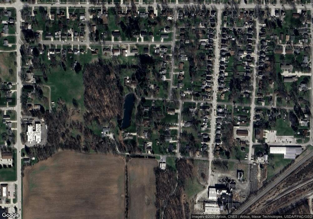
Map
Nearby Homes
- 210 Mohican Ave
- 214 Westwood Ave
- 120 Westwood Ave
- 1705 W Hill Dr
- 205 N Crown Hill Rd
- 437 Danvers Ct
- 417 Danvers Ct
- 224 Smucker St
- 603 W Market St
- 519 Beaver St Unit 16
- 214 Fair St
- 217 Hall St
- 620 W High St
- 408 W Paradise St
- 132 Sunnyview Ln
- 603 S Main St
- 122 E Paradise St
- 1380 Independence Dr
- 2044 Paradise Rd
- 738 S Mill St
- 1330 Terminal St
- 1306 Terminal St
- 320 Lakewood Dr
- 327 Wabash Ave
- 332 Lakewood Dr
- 246 Wabash Ave
- 231 Wabash Ave
- 333 Wabash Ave
- 342 Lakewood Dr
- 238 Wabash Ave
- 318 Wabash Ave
- 223 Wabash Ave
- 245 Lakewood Dr
- 1216 Terminal St
- 335 Lakewood Dr
- 343 Wabash Ave
- 228 Wabash Ave
- 219 Wabash Ave
- 303 Mohican Ave
- 309 Mohican Ave