1320 Valley Dr Wellsville, OH 43968
Estimated Value: $133,000 - $168,000
3
Beds
2
Baths
1,280
Sq Ft
$113/Sq Ft
Est. Value
About This Home
This home is located at 1320 Valley Dr, Wellsville, OH 43968 and is currently estimated at $145,173, approximately $113 per square foot. 1320 Valley Dr is a home located in Columbiana County with nearby schools including Garfield Elementary School, Daw Elementary School, and Wellsville Jr./Sr. High School.
Ownership History
Date
Name
Owned For
Owner Type
Purchase Details
Closed on
Aug 31, 2020
Sold by
Lyle Diana Kaye and The Lemasters Family Trust
Bought by
Lucas Shannon K and Lucas Joseph M
Current Estimated Value
Home Financials for this Owner
Home Financials are based on the most recent Mortgage that was taken out on this home.
Original Mortgage
$81,000
Interest Rate
2.8%
Mortgage Type
New Conventional
Purchase Details
Closed on
Sep 4, 1999
Sold by
Lemasters Uel M and Lemasters Sherry L
Bought by
Lemasters Uel Michael and Lemasters Sherry Lyn
Create a Home Valuation Report for This Property
The Home Valuation Report is an in-depth analysis detailing your home's value as well as a comparison with similar homes in the area
Home Values in the Area
Average Home Value in this Area
Purchase History
| Date | Buyer | Sale Price | Title Company |
|---|---|---|---|
| Lucas Shannon K | $90,000 | Mcmillan Abstract Co Agcy In | |
| Lemasters Uel Michael | -- | -- |
Source: Public Records
Mortgage History
| Date | Status | Borrower | Loan Amount |
|---|---|---|---|
| Previous Owner | Lucas Shannon K | $81,000 |
Source: Public Records
Tax History Compared to Growth
Tax History
| Year | Tax Paid | Tax Assessment Tax Assessment Total Assessment is a certain percentage of the fair market value that is determined by local assessors to be the total taxable value of land and additions on the property. | Land | Improvement |
|---|---|---|---|---|
| 2024 | $1,102 | $32,830 | $5,740 | $27,090 |
| 2023 | $1,065 | $32,830 | $5,740 | $27,090 |
| 2022 | $1,065 | $32,830 | $5,740 | $27,090 |
| 2021 | $959 | $28,040 | $5,460 | $22,580 |
| 2020 | $659 | $28,040 | $5,460 | $22,580 |
| 2019 | $684 | $28,040 | $5,460 | $22,580 |
| 2018 | $624 | $25,480 | $4,970 | $20,510 |
| 2017 | $638 | $25,480 | $4,970 | $20,510 |
| 2016 | $637 | $25,100 | $4,690 | $20,410 |
| 2015 | $635 | $25,100 | $4,690 | $20,410 |
| 2014 | $594 | $25,100 | $4,690 | $20,410 |
Source: Public Records
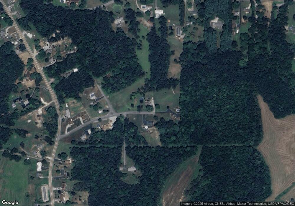
Map
Nearby Homes
- 1370 Hillcrest Rd
- 1087 Hillcrest Rd
- 0 Hibbetts-Mill Rd
- 1010 Hibbetts Mill Rd
- 43184 Osbourne Rd
- 17140 Cannons Mill Rd
- 319 Ridge Ave
- 43050 Osbourne Rd
- 1952 Dunn Rd
- 0 Forbes Rd
- 0 Forbes Rd Unit LotWP001
- 1715 Brandon Dr
- 401 Broadway Ave
- 405 Main St
- 616 Washington Ave
- 609 Broadway Ave
- 525 Riverside Ave
- 46150 Y and O Rd
- 602 Main St
- 923 Wood St
- 1320 Valley Dr
- 1323 Valley Dr
- 1313 Valley Dr
- 1353 Valley Dr
- 1353 Valley Dr
- 1350 Valley Dr
- 1317 Valley Dr
- 1305 Valley Dr
- 1341 Hillcrest Rd
- 1343 Hillcrest Rd
- 1052 Township Line Rd
- 1052 Township Line Rd
- 1064 Township Line Rd
- 1355 Hillcrest Rd
- 1070 Township Line Rd
- 1060 Township Line Rd
- 1337 Hillcrest Rd
- 1359 1/2 Hillcrest Rd
- 1050 Township Line Rd
- 1338 Hillcrest Rd