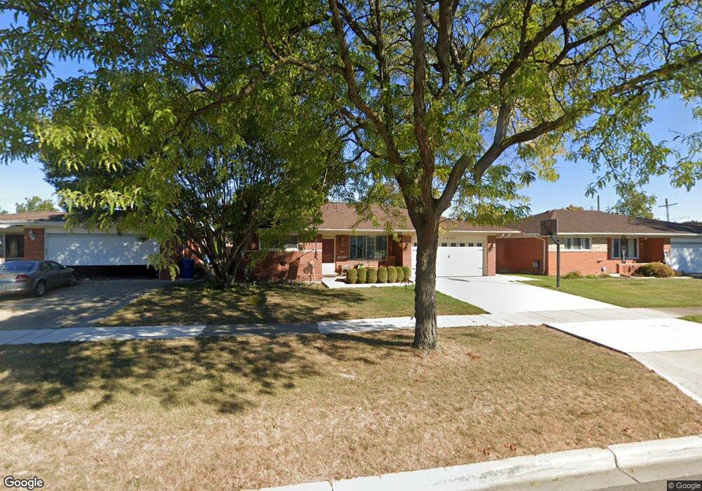
13201 Common Rd Warren, MI 48088
Northeast Warren NeighborhoodEstimated Value: $243,976 - $284,000
3
Beds
2
Baths
1,360
Sq Ft
$194/Sq Ft
Est. Value
About This Home
This home is located at 13201 Common Rd, Warren, MI 48088 and is currently estimated at $263,244, approximately $193 per square foot. 13201 Common Rd is a home located in Macomb County with nearby schools including Wilkerson Elementary School, Carter Middle School, and Paul K. Cousino High School.
Ownership History
Date
Name
Owned For
Owner Type
Purchase Details
Closed on
Dec 10, 2015
Sold by
Sears Henry Jason
Bought by
Sears Diane Marie
Current Estimated Value
Purchase Details
Closed on
Oct 31, 2002
Sold by
Hummer Herbert
Bought by
Sears Henry J
Home Financials for this Owner
Home Financials are based on the most recent Mortgage that was taken out on this home.
Original Mortgage
$148,824
Interest Rate
6.25%
Mortgage Type
Purchase Money Mortgage
Create a Home Valuation Report for This Property
The Home Valuation Report is an in-depth analysis detailing your home's value as well as a comparison with similar homes in the area
Home Values in the Area
Average Home Value in this Area
Purchase History
| Date | Buyer | Sale Price | Title Company |
|---|---|---|---|
| Sears Diane Marie | -- | Attorney | |
| Sears Henry J | $150,000 | -- |
Source: Public Records
Mortgage History
| Date | Status | Borrower | Loan Amount |
|---|---|---|---|
| Previous Owner | Sears Henry J | $148,824 |
Source: Public Records
Tax History
| Year | Tax Paid | Tax Assessment Tax Assessment Total Assessment is a certain percentage of the fair market value that is determined by local assessors to be the total taxable value of land and additions on the property. | Land | Improvement |
|---|---|---|---|---|
| 2025 | $3,394 | $122,550 | $0 | $0 |
| 2024 | $33 | $112,120 | $0 | $0 |
| 2023 | $3,147 | $101,730 | $0 | $0 |
| 2022 | $3,041 | $88,640 | $0 | $0 |
| 2021 | $3,094 | $81,740 | $0 | $0 |
| 2020 | $2,984 | $76,290 | $0 | $0 |
| 2019 | $2,877 | $73,310 | $0 | $0 |
| 2018 | $2,922 | $65,980 | $0 | $0 |
| 2017 | $2,885 | $58,850 | $10,510 | $48,340 |
| 2016 | $2,882 | $58,850 | $0 | $0 |
| 2015 | -- | $57,260 | $0 | $0 |
| 2012 | -- | $50,590 | $0 | $0 |
Source: Public Records
Map
Nearby Homes
- 13325 Iowa Dr
- 13015 Walter Ave
- 30507 Moulin Ave
- 29531 Eiffel Ave
- 29579 Fairfield Dr
- 30806 Ridgefield Ave
- 12531 Common Rd
- 30745 Iroquois Dr
- 30139 Flanders Ave
- 54765 Palomino Ave
- 13209 E 13 Mile Rd
- 29143 Dover Ave
- 30747 Sutherland Ave
- 30955 Iroquois Dr
- 29417 Scarborough Dr Unit 28
- 13342 Lutz Ave
- 29454 Scarborough Dr Unit 7
- 14066 Castle Ave
- 29088 Yorkshire Ln Unit 28
- 29251 Bon Mar Dr
- 13163 Common Rd
- 13215 Common Rd
- 13240 Cromie Dr
- 13151 Common Rd
- 13228 Cromie Dr
- 13252 Cromie Dr
- 30025 Moulin Ave
- 30011 Moulin Ave
- 13216 Cromie Dr
- 30037 Moulin Ave
- 13139 Common Rd
- 13206 Common Rd
- 13170 Common Rd
- 13204 Cromie Dr
- 13218 Common Rd
- 13158 Common Rd
- 13127 Common Rd
- 13230 Common Rd
- 13146 Common Rd
- 13156 Cromie Dr
Your Personal Tour Guide
Ask me questions while you tour the home.