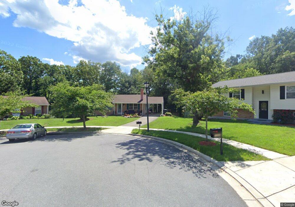
13202 Sandston Ct Laurel, MD 20708
South Laurel NeighborhoodEstimated Value: $455,611 - $489,000
Studio
2
Baths
1,160
Sq Ft
$409/Sq Ft
Est. Value
About This Home
This home is located at 13202 Sandston Ct, Laurel, MD 20708 and is currently estimated at $474,903, approximately $409 per square foot. 13202 Sandston Ct is a home located in Prince George's County with nearby schools including Deerfield Run Elementary School, Dwight D. Eisenhower Middle School, and Laurel High School.
Ownership History
Date
Name
Owned For
Owner Type
Purchase Details
Closed on
May 28, 1999
Sold by
Petratos Patricia A
Bought by
Matthews Neil and Hill Valencia R
Current Estimated Value
Purchase Details
Closed on
Jun 25, 1992
Sold by
Sommers Gary W
Bought by
Petratos Patricia A
Create a Home Valuation Report for This Property
The Home Valuation Report is an in-depth analysis detailing your home's value as well as a comparison with similar homes in the area
Home Values in the Area
Average Home Value in this Area
Purchase History
| Date | Buyer | Sale Price | Title Company |
|---|---|---|---|
| Matthews Neil | $159,000 | -- | |
| Petratos Patricia A | $147,500 | -- |
Source: Public Records
Tax History Compared to Growth
Tax History
| Year | Tax Paid | Tax Assessment Tax Assessment Total Assessment is a certain percentage of the fair market value that is determined by local assessors to be the total taxable value of land and additions on the property. | Land | Improvement |
|---|---|---|---|---|
| 2025 | $5,662 | $379,400 | $117,700 | $261,700 |
| 2024 | $5,662 | $354,200 | -- | -- |
| 2023 | $5,287 | $329,000 | $0 | $0 |
| 2022 | $4,912 | $303,800 | $102,700 | $201,100 |
| 2021 | $4,832 | $298,400 | $0 | $0 |
| 2020 | $4,752 | $293,000 | $0 | $0 |
| 2019 | $4,672 | $287,600 | $101,300 | $186,300 |
| 2018 | $4,326 | $264,333 | $0 | $0 |
| 2017 | $3,980 | $241,067 | $0 | $0 |
| 2016 | -- | $217,800 | $0 | $0 |
| 2015 | $3,071 | $213,900 | $0 | $0 |
| 2014 | $3,071 | $210,000 | $0 | $0 |
Source: Public Records
Map
Nearby Homes
- 8604 Imperial Dr
- 8491 Imperial Dr
- 0 Larchdale Rd Unit MDPG2054450
- 13400 Oaklands Manor Dr
- 8493 Snowden Oaks Place
- 8415 Snowden Oaks Place
- 8908 Eastbourne Ln
- 13100 Golden Oak Dr
- 12703 Cedarbrook Ln
- 8210 Willow St
- 12600 Cedarbrook Ln
- 9312 Montpelier Dr
- 0 Railroad Ave
- 8617 Chestnut Ridge Dr
- 14009 Korba Place
- 12927 Brickyard Blvd
- 14007 Briston St
- 14103 Lauren Ln
- 12201 Mount Pleasant Dr
- 14105 William St Unit 15-C
- 13204 Sandston Ct
- 13200 Sandston Ct
- 12269 Sandstone St
- 8509 Portsmouth Dr
- 13206 Sandston Ct
- 8511 Portsmouth Dr
- 13201 Sandston Ct
- 8513 Portsmouth Dr
- 8606 Dunbrook Ln
- 13203 Sandston Ct
- 8507 Portsmouth Dr
- 8515 Portsmouth Dr
- 8505 Portsmouth Dr
- 13205 Sandston Ct
- 13207 Sandston Ct
- 8608 Dunbrook Ln
- 8501 Portsmouth Dr
- 8601 Portsmouth Dr
- 8510 Portsmouth Dr
- 8512 Portsmouth Dr