13203 Nittany Ct Union Bridge, MD 21791
Estimated Value: $436,000 - $509,000
--
Bed
2
Baths
1,268
Sq Ft
$364/Sq Ft
Est. Value
About This Home
This home is located at 13203 Nittany Ct, Union Bridge, MD 21791 and is currently estimated at $461,569, approximately $364 per square foot. 13203 Nittany Ct is a home located in Frederick County with nearby schools including Liberty Elementary School, New Market Middle School, and Linganore High School.
Ownership History
Date
Name
Owned For
Owner Type
Purchase Details
Closed on
Oct 1, 1997
Sold by
Schoonover Allan E and Schoonover Carrie L
Bought by
Lang Kenneth J and Lang Deirdre L
Current Estimated Value
Purchase Details
Closed on
Jun 3, 1996
Sold by
Hamilton George P
Bought by
Schoonover Allan E and Schoonover Carrie L
Purchase Details
Closed on
Feb 13, 1991
Sold by
Rivera Betty A
Bought by
Hamilton George P
Home Financials for this Owner
Home Financials are based on the most recent Mortgage that was taken out on this home.
Original Mortgage
$23,600
Interest Rate
9.36%
Create a Home Valuation Report for This Property
The Home Valuation Report is an in-depth analysis detailing your home's value as well as a comparison with similar homes in the area
Home Values in the Area
Average Home Value in this Area
Purchase History
| Date | Buyer | Sale Price | Title Company |
|---|---|---|---|
| Lang Kenneth J | $138,000 | -- | |
| Schoonover Allan E | $129,000 | -- | |
| Hamilton George P | $130,000 | -- |
Source: Public Records
Mortgage History
| Date | Status | Borrower | Loan Amount |
|---|---|---|---|
| Previous Owner | Hamilton George P | $23,600 | |
| Closed | Schoonover Allan E | -- |
Source: Public Records
Tax History Compared to Growth
Tax History
| Year | Tax Paid | Tax Assessment Tax Assessment Total Assessment is a certain percentage of the fair market value that is determined by local assessors to be the total taxable value of land and additions on the property. | Land | Improvement |
|---|---|---|---|---|
| 2025 | $3,563 | $323,200 | $160,100 | $163,100 |
| 2024 | $3,563 | $300,167 | $0 | $0 |
| 2023 | $3,258 | $277,133 | $0 | $0 |
| 2022 | $3,126 | $254,100 | $110,100 | $144,000 |
| 2021 | $3,025 | $249,833 | $0 | $0 |
| 2020 | $3,026 | $245,567 | $0 | $0 |
| 2019 | $2,950 | $241,300 | $100,100 | $141,200 |
| 2018 | $2,828 | $241,300 | $100,100 | $141,200 |
| 2017 | $3,294 | $241,300 | $0 | $0 |
| 2016 | $2,783 | $243,900 | $0 | $0 |
| 2015 | $2,783 | $242,167 | $0 | $0 |
| 2014 | $2,783 | $240,433 | $0 | $0 |
Source: Public Records
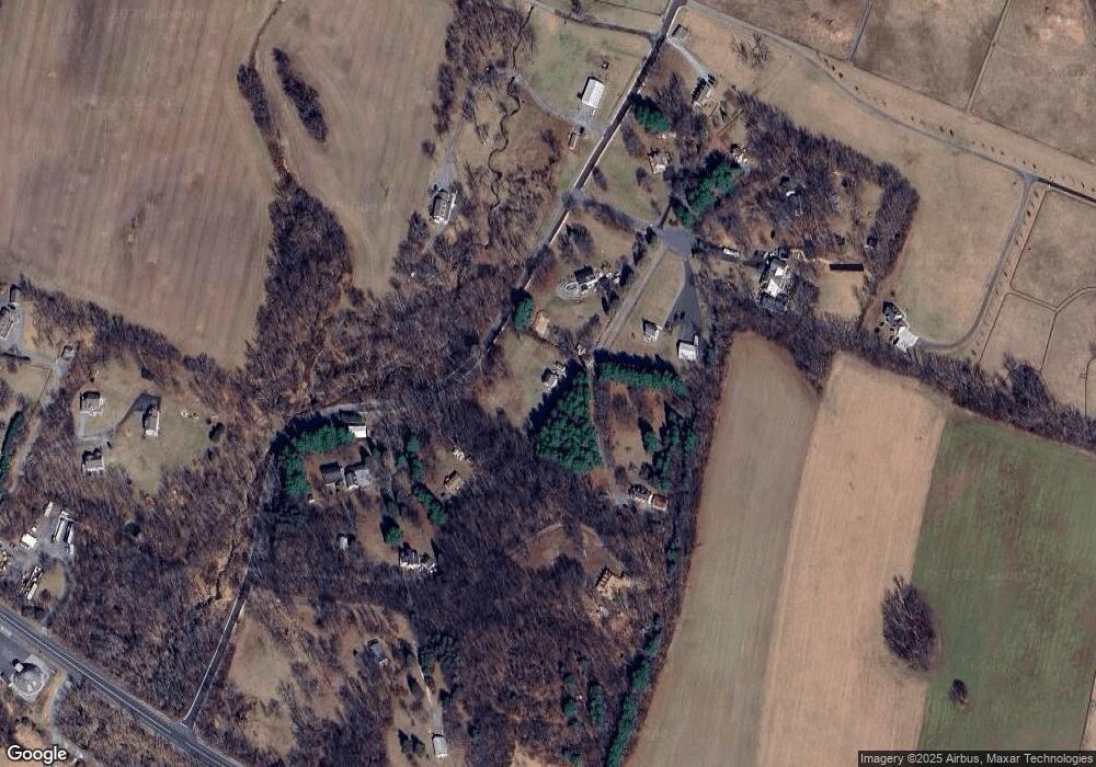
Map
Nearby Homes
- 13201 Nittany Ct
- 9522 Bessie Clemson Rd
- 0 Keys Chapel Rd Unit MDFR2040360
- 8429 Woodville Rd
- 12309 Cracked Bell Ct
- 12061 & 12059 Main St
- 10216 Fountain School Rd
- 11940 Main St
- 11908 Croyden Ct
- 9630 B Clemsonville Rd
- 14695 Oak Orchard Rd
- 14901 New Windsor Rd
- 14958 New Windsor Rd
- 7407 Woodville Rd
- 11584 Liberty Oak Dr
- 15030 New Windsor Rd
- 10027 Pine Tree Rd
- 10028A Pine Tree Rd
- 7616 Talbot Run Rd
- 7192 Rosalees Walk
- 13207 Nittany Ct
- 9101A Bessie Clemson Rd
- 13205 Nittany Ct
- 9095 Bessie Clemson Rd
- 9101 Bessie Clemson Rd
- 9097 Bessie Clemson Rd
- 13208 Nittany Ct
- 13204 Nittany Ct
- 9120 Bessie Clemson Rd
- 13206 Nittany Ct
- 9005 Bessie Clemson Rd
- 9015 Bessie Clemson Rd
- 9201 Bessie Clemson Rd
- 9213 Bessie Clemson Rd
- 9009 Bessie Clemson Rd
- 13016 Liberty Rd
- 13012 Liberty Rd
- 13020 Liberty Rd
- 11920 Liberty Rd Unit 210A
- 0 Bessie Clemson Road Tract 2 3 18 Acres Unit MDFR2015752