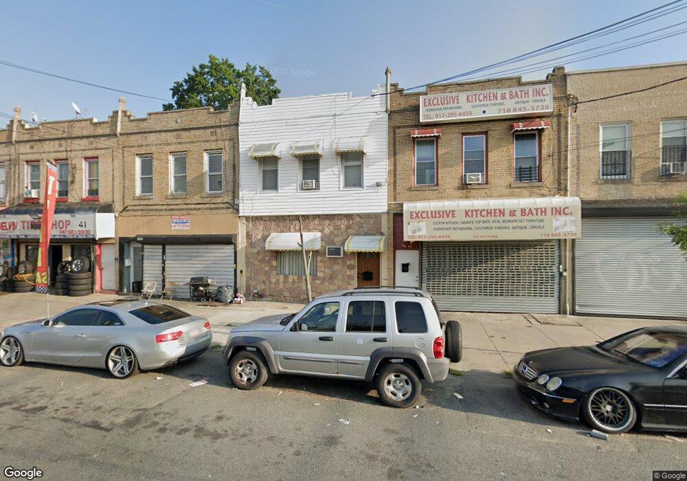
13206 111th Ave South Ozone Park, NY 11420
South Ozone Park NeighborhoodEstimated Value: $833,000 - $1,033,000
--
Bed
--
Bath
2,000
Sq Ft
$466/Sq Ft
Est. Value
About This Home
This home is located at 13206 111th Ave, South Ozone Park, NY 11420 and is currently estimated at $932,798, approximately $466 per square foot. 13206 111th Ave is a home located in Queens County with nearby schools including P.S. 155, J.H.S. 226 Virgil I. Grisson, and Al-Ihsan Academy.
Ownership History
Date
Name
Owned For
Owner Type
Purchase Details
Closed on
Jan 13, 2020
Sold by
Robinson Ronald and Robinson Trevor
Bought by
Robinson Tracy-Ann E and Robinson Trevor O
Current Estimated Value
Purchase Details
Closed on
Mar 10, 2005
Sold by
Robinson Ronald
Bought by
Robinson Ronald and Robinson Trevor
Create a Home Valuation Report for This Property
The Home Valuation Report is an in-depth analysis detailing your home's value as well as a comparison with similar homes in the area
Home Values in the Area
Average Home Value in this Area
Purchase History
| Date | Buyer | Sale Price | Title Company |
|---|---|---|---|
| Robinson Tracy-Ann E | -- | -- | |
| Robinson Tracy-Ann E | -- | -- | |
| Robinson Ronald | -- | -- | |
| Robinson Ronald | -- | -- |
Source: Public Records
Mortgage History
| Date | Status | Borrower | Loan Amount |
|---|---|---|---|
| Closed | Robinson Ronald | $0 |
Source: Public Records
Tax History Compared to Growth
Tax History
| Year | Tax Paid | Tax Assessment Tax Assessment Total Assessment is a certain percentage of the fair market value that is determined by local assessors to be the total taxable value of land and additions on the property. | Land | Improvement |
|---|---|---|---|---|
| 2025 | $5,413 | $32,400 | $4,923 | $27,477 |
| 2024 | $5,425 | $32,400 | $4,623 | $27,777 |
| 2023 | $5,370 | $32,156 | $4,588 | $27,568 |
| 2022 | $5,012 | $45,540 | $7,320 | $38,220 |
| 2021 | $4,673 | $42,900 | $7,320 | $35,580 |
| 2020 | $4,419 | $45,060 | $7,320 | $37,740 |
| 2019 | $4,367 | $44,160 | $7,320 | $36,840 |
| 2018 | $4,325 | $26,797 | $6,168 | $20,629 |
| 2017 | $4,477 | $25,281 | $5,659 | $19,622 |
| 2016 | $4,105 | $25,281 | $5,659 | $19,622 |
| 2015 | $2,432 | $22,500 | $8,100 | $14,400 |
| 2014 | $2,432 | $22,500 | $8,100 | $14,400 |
Source: Public Records
Map
Nearby Homes
- 111-17 133rd St
- 109-49 132nd St
- 109-41 132nd St
- 109-35 131st St
- 134-01 Linden Blvd
- 10922 132nd St
- 11143 130th St
- 11406 135th St
- 114-33 133rd St
- 11409 135th St
- 111-41 128th St
- 132-11 109th Ave
- 114-39 134th St
- 107-47 132nd St
- 114-29 130th St
- 10749 131st St
- 11158 128th St
- 11455 131st St
- 10919 127th St
- 10743 135th St
- 13208 111th Ave
- 13210 111th Ave
- 132-10 111th Ave
- 13202 111th Ave
- 13204 111th Ave
- 13208 111th Ave
- 132-04 111th Ave
- 13212 111th Ave
- 11111 132nd St
- 11104 133rd St
- 11106 133rd St
- 11117 132nd St
- 111-02 133rd St Unit 15
- 11102 133rd St
- 11108 133rd St
- 11112 133rd St
- 13122 111th Ave
- 11112 133rd St
- 11112 133rd St Unit 1
- 13122 111th Ave