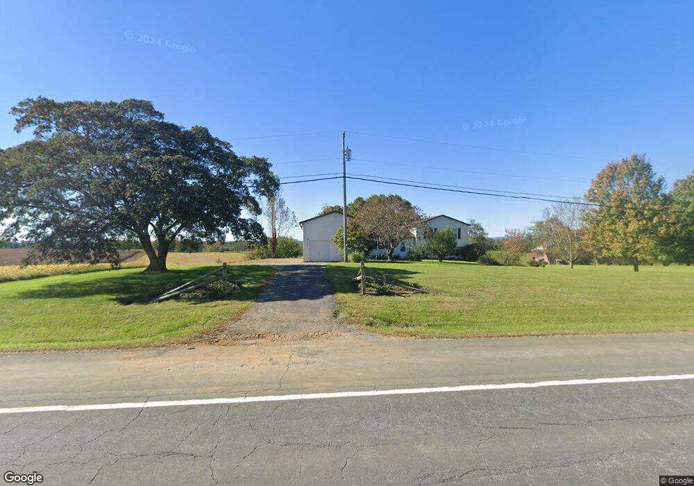
13207 Clear Spring Rd Clear Spring, MD 21722
Estimated Value: $284,000 - $361,000
Studio
1
Bath
1,628
Sq Ft
$195/Sq Ft
Est. Value
About This Home
This home is located at 13207 Clear Spring Rd, Clear Spring, MD 21722 and is currently estimated at $317,830, approximately $195 per square foot. 13207 Clear Spring Rd is a home located in Washington County with nearby schools including Clear Spring Elementary School, Clear Spring Middle School, and Clear Spring High School.
Ownership History
Date
Name
Owned For
Owner Type
Purchase Details
Closed on
Apr 19, 2005
Sold by
Eyster Delbert R
Bought by
Foltz Karl E and Foltz Melodie
Current Estimated Value
Home Financials for this Owner
Home Financials are based on the most recent Mortgage that was taken out on this home.
Original Mortgage
$38,000
Outstanding Balance
$30,890
Interest Rate
7.75%
Mortgage Type
Credit Line Revolving
Estimated Equity
$286,940
Purchase Details
Closed on
Mar 31, 2005
Sold by
Eyster Delbert R
Bought by
Foltz Karl E and Foltz Melodie
Home Financials for this Owner
Home Financials are based on the most recent Mortgage that was taken out on this home.
Original Mortgage
$38,000
Outstanding Balance
$30,890
Interest Rate
7.75%
Mortgage Type
Credit Line Revolving
Estimated Equity
$286,940
Create a Home Valuation Report for This Property
The Home Valuation Report is an in-depth analysis detailing your home's value as well as a comparison with similar homes in the area
Purchase History
| Date | Buyer | Sale Price | Title Company |
|---|---|---|---|
| Foltz Karl E | $190,000 | -- | |
| Foltz Karl E | $190,000 | -- |
Source: Public Records
Mortgage History
| Date | Status | Borrower | Loan Amount |
|---|---|---|---|
| Open | Foltz Karl E | $38,000 | |
| Open | Foltz Karl E | $152,000 | |
| Closed | Foltz Karl E | $38,000 | |
| Closed | Foltz Karl E | $152,000 |
Source: Public Records
Tax History
| Year | Tax Paid | Tax Assessment Tax Assessment Total Assessment is a certain percentage of the fair market value that is determined by local assessors to be the total taxable value of land and additions on the property. | Land | Improvement |
|---|---|---|---|---|
| 2025 | $2,057 | $215,833 | $0 | $0 |
| 2024 | $2,057 | $199,367 | $0 | $0 |
| 2023 | $1,954 | $182,900 | $79,100 | $103,800 |
| 2022 | $1,928 | $180,433 | $0 | $0 |
| 2021 | $1,912 | $177,967 | $0 | $0 |
| 2020 | $1,912 | $175,500 | $79,100 | $96,400 |
| 2019 | $1,920 | $175,500 | $79,100 | $96,400 |
| 2018 | $1,920 | $175,500 | $79,100 | $96,400 |
| 2017 | $1,933 | $177,400 | $0 | $0 |
| 2016 | -- | $176,333 | $0 | $0 |
| 2015 | $1,383 | $175,267 | $0 | $0 |
| 2014 | $1,383 | $174,200 | $0 | $0 |
Source: Public Records
Map
Nearby Homes
- 13407 Rhodes Ct
- 11717 Ashton Rd
- 11705 Ashton Rd
- Block 139 Lot 56 Boo Blvd
- Block 87 Lot 4 Pikers Peak Dr
- 13100 Saint Paul Rd
- Block 11 Lot 14 Hot Springs Ave
- Block 7 Lot 30 & 31 Campfire Blvd
- Block 8 Lot 16 & 17 Campfire Blvd
- Block 1 Lot 27 Boo Blvd
- 0 Block 10 Lot 2 Deadwood Dr Unit WVBE2040636
- Block 90 Lot 8 Ranger Rd
- Block 1 Lot 35 Boo Blvd
- Block 1 Lot 36 Boo Blvd
- Block 5 lots 6 and 7 Poison Oak
- 11868 National Pike
- Block 12 Lot 41 Ranger Rd
- Block 1 Lot 42 Boo Blvd
- 25-20 Rocky Rd
- Block 14 Lot 10 Old Faceful Rd
- 13215 Clear Spring Rd
- 13216 Clear Spring Rd
- 13204 Clear Spring Rd
- 13123 Clear Spring Rd
- 13219 Clear Spring Rd
- 13120 Clear Spring Rd
- 13127 Clear Spring Rd
- 13208 Clear Spring Rd
- 13234 Clear Spring Rd
- 12118 Ashton Rd
- 13073 Burrnie Kinsell Dr
- 13102 Clear Spring Rd
- 11944 Ashton Rd
- 13079 Burrnie Kinsell Dr
- 11932 Ashton Rd
- 12215 Ashton Rd
- 11922 Ashton Rd
- 12031 Big Spring Rd
- 12229 Ashton Rd
- 11906 Ashton Rd
Your Personal Tour Guide
Ask me questions while you tour the home.