Estimated Value: $196,000 - $320,637
7
Beds
4
Baths
3,312
Sq Ft
$77/Sq Ft
Est. Value
About This Home
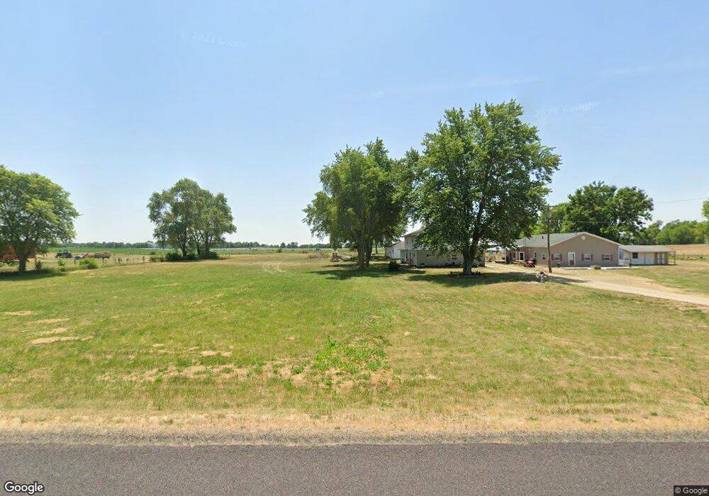
This home is located at 13209 Hurt Rd, Pekin, IL 61554 and is currently estimated at $255,159, approximately $77 per square foot. 13209 Hurt Rd is a home located in Tazewell County with nearby schools including Rankin Elementary School and Pekin Community High School.
Ownership History
Date
Name
Owned For
Owner Type
Purchase Details
Closed on
Jan 18, 2022
Sold by
Carter Cathy A
Bought by
Carter Rick J
Current Estimated Value
Purchase Details
Closed on
Apr 11, 2006
Sold by
Carter William Earl and Carter Bonnie L
Bought by
Carter Rick and Carter Cathy
Home Financials for this Owner
Home Financials are based on the most recent Mortgage that was taken out on this home.
Original Mortgage
$134,436
Interest Rate
6.42%
Mortgage Type
Fannie Mae Freddie Mac
Create a Home Valuation Report for This Property
The Home Valuation Report is an in-depth analysis detailing your home's value as well as a comparison with similar homes in the area
Home Values in the Area
Average Home Value in this Area
Purchase History
| Date | Buyer | Sale Price | Title Company |
|---|---|---|---|
| Carter Rick J | -- | Thornton Katherine A | |
| Carter Rick | $122,000 | Netco |
Source: Public Records
Mortgage History
| Date | Status | Borrower | Loan Amount |
|---|---|---|---|
| Previous Owner | Carter Rick | $134,436 |
Source: Public Records
Tax History Compared to Growth
Tax History
| Year | Tax Paid | Tax Assessment Tax Assessment Total Assessment is a certain percentage of the fair market value that is determined by local assessors to be the total taxable value of land and additions on the property. | Land | Improvement |
|---|---|---|---|---|
| 2024 | $5,415 | $76,430 | $11,810 | $64,620 |
| 2023 | $5,415 | $71,180 | $11,000 | $60,180 |
| 2022 | $5,010 | $64,710 | $10,000 | $54,710 |
| 2021 | $4,660 | $62,230 | $9,620 | $52,610 |
| 2020 | $4,600 | $62,230 | $9,620 | $52,610 |
| 2019 | $4,446 | $62,230 | $9,620 | $52,610 |
| 2018 | $4,454 | $62,230 | $9,620 | $52,610 |
| 2017 | $4,357 | $61,000 | $9,430 | $51,570 |
| 2016 | $4,254 | $61,000 | $9,430 | $51,570 |
| 2015 | $4,039 | $0 | $0 | $0 |
| 2013 | $3,977 | $61,000 | $9,430 | $51,570 |
Source: Public Records
Map
Nearby Homes
- 11625 State Route 29
- 12594 Carter Rd
- 12952 Carter Rd
- 211 Minch St
- 208 Country Dr
- 144 Canary Dr
- 13734 Illinois 29
- 13823 2nd St
- 13895 First St
- 0 Furrow Rd
- 1416 Vista Grande Dr
- 1815 Riverway Dr
- 1604 El Camino Dr
- 2105 Alameda Dr
- 226 Herget St
- 1401 S 6th St
- 2116 Wildwood Dr
- E Manito Rd Lot Unit WP001
- 349 Derby St
- 1301 S 7th St