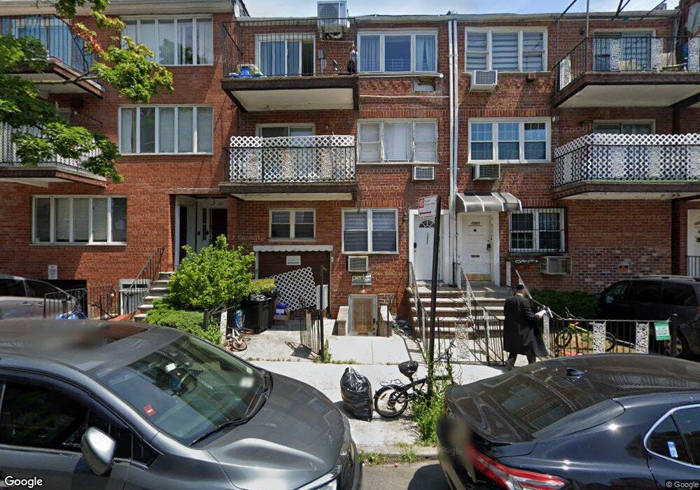
1321 52nd St Unit 1 Brooklyn, NY 11219
Borough Park NeighborhoodEstimated Value: $856,000 - $971,000
--
Bed
--
Bath
1,017
Sq Ft
$921/Sq Ft
Est. Value
About This Home
This home is located at 1321 52nd St Unit 1, Brooklyn, NY 11219 and is currently estimated at $936,568, approximately $920 per square foot. 1321 52nd St Unit 1 is a home located in Kings County with nearby schools including The Seeall Academy, I.S. 223 The Montauk, and Franklin Delano Roosevelt High School.
Ownership History
Date
Name
Owned For
Owner Type
Purchase Details
Closed on
Dec 24, 2012
Sold by
Mayer Feldbrand Trustee
Bought by
Amunah Residence Trust And Bitachon Trus and Mayer Feldbrand Trustee
Current Estimated Value
Purchase Details
Closed on
May 22, 2012
Sold by
Lishmoah Lilmod U'Lelamed Inc
Bought by
Mayer Feldbrand- Trustee and Nachas Family Trust
Purchase Details
Closed on
Dec 20, 2011
Sold by
Lishmoah Lilmod U'Lelamed Inc
Bought by
Nachas Family Trust- Mayer Feldbrand Tru
Purchase Details
Closed on
Jun 20, 2006
Sold by
Amunah Residence Trust
Bought by
Lishmoah Lilmod U'Lelamed Inc
Create a Home Valuation Report for This Property
The Home Valuation Report is an in-depth analysis detailing your home's value as well as a comparison with similar homes in the area
Home Values in the Area
Average Home Value in this Area
Purchase History
| Date | Buyer | Sale Price | Title Company |
|---|---|---|---|
| Amunah Residence Trust And Bitachon Trus | -- | -- | |
| Mayer Feldbrand- Trustee | -- | -- | |
| Nachas Family Trust- Mayer Feldbrand Tru | -- | -- | |
| Lishmoah Lilmod U'Lelamed Inc | $100,000 | -- |
Source: Public Records
Tax History Compared to Growth
Tax History
| Year | Tax Paid | Tax Assessment Tax Assessment Total Assessment is a certain percentage of the fair market value that is determined by local assessors to be the total taxable value of land and additions on the property. | Land | Improvement |
|---|---|---|---|---|
| 2025 | $5,793 | $53,090 | $11,702 | $41,388 |
| 2024 | $5,793 | $46,629 | $11,702 | $34,927 |
| 2023 | $5,858 | $41,248 | $11,702 | $29,546 |
| 2022 | $5,714 | $38,027 | $11,702 | $26,325 |
| 2021 | $5,683 | $37,647 | $11,702 | $25,945 |
| 2020 | $2,665 | $45,828 | $11,702 | $34,126 |
| 2019 | $5,028 | $45,828 | $11,702 | $34,126 |
| 2018 | $4,900 | $24,036 | $8,287 | $15,749 |
| 2017 | $4,863 | $23,854 | $8,877 | $14,977 |
| 2016 | $4,499 | $22,504 | $8,622 | $13,882 |
| 2015 | -- | $21,231 | $8,264 | $12,967 |
| 2014 | -- | $20,030 | $9,356 | $10,674 |
Source: Public Records
Map
Nearby Homes
- 5313 13th Ave
- 4924 13th Ave
- 1358 53rd St Unit 2B
- 1117 51st St
- 5401 15th Ave
- 4726 New Utrecht Ave
- 4709 New Utrecht Ave
- 5812 New Utrecht Ave
- 1241 60th St
- 1240 43rd St
- 4906 Fort Hamilton Pkwy
- 4518 11th Ave
- 1129 60th St
- 4409 New Utrecht Ave
- 977 52nd St
- 975 52nd St
- 1012 57th St
- 969 55th St
- 1230 Tabor Ct
- 956 54th St
- 1321 52nd St
- 1321 52nd St Unit 2
- 1321 52nd St Unit 3
- 1323 52nd St
- 1317 52nd St
- 1325 52nd St
- 1313 52nd St Unit 3
- 1313 52nd St
- 1313 52nd St Unit 1
- 1313 52nd St Unit 4
- 1313 52nd St Unit 2
- 1327 52nd St
- 1335 52nd St
- 1314 51st St
- 1320-1338 51st St
- 5115 13th Ave Unit 1-DD
- 5115 13th Ave Unit 2-A
- 5115 13th Ave Unit 4-DD
- 5115 13th Ave Unit 1-C
- 5115 13th Ave