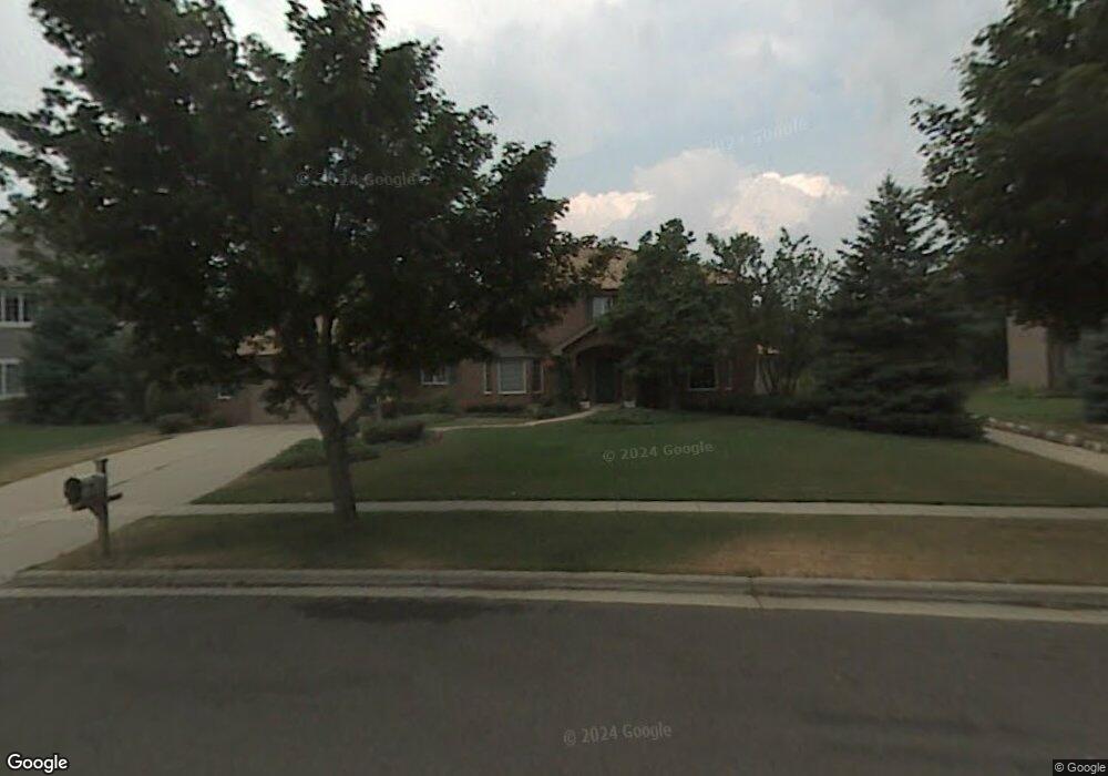
1321 Boundary Rd Middleton, WI 53562
Stonefield NeighborhoodEstimated Value: $1,171,127 - $1,295,000
Studio
--
Bath
--
Sq Ft
23,305
Sq Ft Lot
About This Home
This home is located at 1321 Boundary Rd, Middleton, WI 53562 and is currently estimated at $1,248,042. 1321 Boundary Rd is a home located in Dane County with nearby schools including Elm Lawn Elementary School, Kromrey Middle School, and Middleton High School.
Ownership History
Date
Name
Owned For
Owner Type
Purchase Details
Closed on
Mar 2, 2009
Sold by
Kozarek John A and Kozarek Darlene S
Bought by
John Kozarek & Darlene Kozarek Revocable
Current Estimated Value
Purchase Details
Closed on
Feb 6, 2009
Sold by
Kozarek John A and Kozarek Darlene S
Bought by
John Kozarek & Darlene Kozarek Revocable
Create a Home Valuation Report for This Property
The Home Valuation Report is an in-depth analysis detailing your home's value as well as a comparison with similar homes in the area
Home Values in the Area
Average Home Value in this Area
Purchase History
| Date | Buyer | Sale Price | Title Company |
|---|---|---|---|
| John Kozarek & Darlene Kozarek Revocable | -- | None Available | |
| John Kozarek & Darlene Kozarek Revocable | -- | None Available |
Source: Public Records
Tax History
| Year | Tax Paid | Tax Assessment Tax Assessment Total Assessment is a certain percentage of the fair market value that is determined by local assessors to be the total taxable value of land and additions on the property. | Land | Improvement |
|---|---|---|---|---|
| 2025 | $17,010 | $908,600 | $174,800 | $733,800 |
| 2023 | $15,163 | $908,600 | $174,800 | $733,800 |
| 2022 | $15,124 | $908,600 | $174,800 | $733,800 |
| 2021 | $14,548 | $724,600 | $174,800 | $549,800 |
| 2020 | $14,678 | $724,600 | $174,800 | $549,800 |
| 2019 | $13,846 | $724,600 | $174,800 | $549,800 |
| 2018 | $12,733 | $724,600 | $174,800 | $549,800 |
| 2017 | $12,350 | $611,200 | $166,900 | $444,300 |
| 2016 | $12,137 | $605,100 | $166,900 | $438,200 |
| 2015 | $12,409 | $605,100 | $166,900 | $438,200 |
| 2014 | $11,811 | $544,700 | $141,300 | $403,400 |
| 2013 | $10,990 | $544,700 | $141,300 | $403,400 |
Source: Public Records
Map
Nearby Homes
- 14 Hidden Hollow Trail
- 16 Hidden Hollow Trail
- 22 Pebble Beach Cir
- 837 N Gammon Rd Unit D
- 1525 Windfield Way
- 1030 Rooster Run Unit 19
- 7009 Fortune Dr
- 7106 Fortune Dr Unit 1
- 7106 Fortune Dr Unit 23
- 1626 Meadow Crest Ln
- 6829 Cooper Ave
- 21 Julia Cir
- 7402 Longmeadow Rd
- 6242 University Ave
- 6251 Charing Cross Ln Unit E5
- 15 Saukdale Trail
- 2051 Allen Blvd Unit 101
- 2051 Allen Blvd Unit 205
- 602 N Westfield Rd Unit D
- 7203 Old Sauk Rd Unit C
- 1325 Boundary Rd
- 1317 Boundary Rd
- 6402 Wydown Cir
- 6406 Wydown Cir
- 1329 Boundary Rd
- 6321 Sleepy Hollow Cir
- 1313 Boundary Rd
- 1326 Boundary Rd
- 6401 Wydown Cir
- 953 Sauk Ridge Trail
- 6410 Wydown Cir
- 6317 Sleepy Hollow Cir
- 937 Sauk Ridge Trail
- 1309 Boundary Rd
- 1333 Boundary Rd
- 6322 Sleepy Hollow Cir
- 1332 Boundary Rd
- 933 Pebble Beach Dr
- 946 Sauk Ridge Trail
- 6405 Wydown Cir
Your Personal Tour Guide
Ask me questions while you tour the home.