1321 Boydstun Ln McCall, ID 83638
Estimated Value: $714,447 - $882,000
3
Beds
2
Baths
1,471
Sq Ft
$546/Sq Ft
Est. Value
About This Home
This home is located at 1321 Boydstun Ln, McCall, ID 83638 and is currently estimated at $803,862, approximately $546 per square foot. 1321 Boydstun Ln is a home located in Valley County with nearby schools including McCall-Donnelly High School, Mountain Life Education, and McCall Adventist Christian School.
Ownership History
Date
Name
Owned For
Owner Type
Purchase Details
Closed on
Dec 16, 2020
Sold by
Batt Dustin and Batt Lindsay
Bought by
Batt Dustin and Batt Lindsay
Current Estimated Value
Home Financials for this Owner
Home Financials are based on the most recent Mortgage that was taken out on this home.
Original Mortgage
$195,000
Outstanding Balance
$173,608
Interest Rate
2.7%
Mortgage Type
New Conventional
Estimated Equity
$630,254
Purchase Details
Closed on
Mar 1, 2010
Sold by
Batt Dustin and Batt Dustin
Bought by
Batt Dustin and Batt Lindsay
Purchase Details
Closed on
Apr 10, 2008
Sold by
Cheshoim Eloris
Bought by
Batt Dustin
Home Financials for this Owner
Home Financials are based on the most recent Mortgage that was taken out on this home.
Original Mortgage
$52,500
Interest Rate
6.22%
Mortgage Type
Purchase Money Mortgage
Create a Home Valuation Report for This Property
The Home Valuation Report is an in-depth analysis detailing your home's value as well as a comparison with similar homes in the area
Home Values in the Area
Average Home Value in this Area
Purchase History
| Date | Buyer | Sale Price | Title Company |
|---|---|---|---|
| Batt Dustin | -- | Alliance Ttl Boise Productio | |
| Batt Dustin | -- | -- | |
| Batt Dustin | -- | -- |
Source: Public Records
Mortgage History
| Date | Status | Borrower | Loan Amount |
|---|---|---|---|
| Open | Batt Dustin | $195,000 | |
| Closed | Batt Dustin | $52,500 |
Source: Public Records
Tax History Compared to Growth
Tax History
| Year | Tax Paid | Tax Assessment Tax Assessment Total Assessment is a certain percentage of the fair market value that is determined by local assessors to be the total taxable value of land and additions on the property. | Land | Improvement |
|---|---|---|---|---|
| 2025 | $3,001 | $648,014 | $174,723 | $473,291 |
| 2023 | $3,001 | $614,697 | $194,137 | $420,560 |
| 2022 | $2,701 | $528,500 | $182,746 | $345,754 |
| 2021 | $3,483 | $451,991 | $75,503 | $376,488 |
| 2020 | $2,944 | $335,781 | $83,479 | $252,302 |
| 2019 | $2,787 | $288,670 | $54,620 | $234,050 |
| 2018 | $2,494 | $236,611 | $47,969 | $188,642 |
| 2017 | $2,805 | $250,709 | $56,742 | $193,967 |
| 2016 | $2,854 | $249,910 | $54,517 | $195,393 |
| 2015 | $2,720 | $228,178 | $0 | $0 |
| 2013 | -- | $201,272 | $0 | $0 |
Source: Public Records
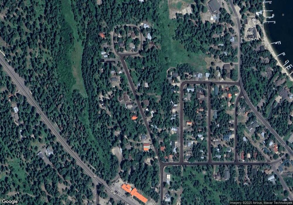
Map
Nearby Homes
- 1207 Zachary Rd
- 1105 Knowles Rd
- 808 Hayes St
- 1124 Shellworth Cir
- 1100 Shellworth Cir
- 1445 Paul Bunyan Rd
- 1132 Shellworth Cir
- 1413 Stone Ln
- 1423 Veronica Ln
- 306 Whitetail Dr
- 357 Whitetail Dr
- 24640 Warren Wagon Rd
- 13321 Idaho 55
- Lots 4&5 Whitetail Dr Unit 4 and 5
- Lots 4 & 5 Whitetail Dr
- 1075 Club Rd
- 1640 Forest Trails Dr
- 1002 Rowland St
- 1002 Rowland St Unit 1-12
- 326 Sunshine Dr
- 1324 Boydstun Ln
- 1317 Boydstun Ln
- 1314 Boydstun Ln
- 1326 Boydstun Ln
- 1313 Boydstun Ln
- 1314 Hubbard Dr
- 1320 Hubbard Ln
- 1312 Hubbard Ln
- 1309 Boydstun Ln
- 1322 Hubbard Ln
- L4 Boydstun Ln
- 1308 Hubbard Dr
- 1305 Boydstun Ln
- 1332 Boydstun Ln
- 917 Romine Dr
- 916 Romine Dr
- Lot 1 Boydstun Ln Unit 1
- 1 Boydstun Ln Unit 1
- 2 Boydstun Ln Unit 2
- 5 Boydstun Ln Unit 5