1321 Greystone Dr Unit 6 McCall, ID 83638
Estimated Value: $1,128,000 - $1,312,000
4
Beds
3
Baths
2,385
Sq Ft
$499/Sq Ft
Est. Value
About This Home
This home is located at 1321 Greystone Dr Unit 6, McCall, ID 83638 and is currently estimated at $1,189,912, approximately $498 per square foot. 1321 Greystone Dr Unit 6 is a home located in Valley County with nearby schools including McCall-Donnelly High School, Mountain Life Education, and McCall Adventist Christian School.
Ownership History
Date
Name
Owned For
Owner Type
Purchase Details
Closed on
Aug 24, 2019
Sold by
Crowson David S and Crowson Pamela L
Bought by
Crowson David S and Crowson Pamela L
Current Estimated Value
Purchase Details
Closed on
Jun 9, 2005
Sold by
Greystone On Payette Llc
Bought by
Cunningham Victoria and Briant Mark C
Home Financials for this Owner
Home Financials are based on the most recent Mortgage that was taken out on this home.
Original Mortgage
$372,800
Interest Rate
1.37%
Mortgage Type
Fannie Mae Freddie Mac
Create a Home Valuation Report for This Property
The Home Valuation Report is an in-depth analysis detailing your home's value as well as a comparison with similar homes in the area
Home Values in the Area
Average Home Value in this Area
Purchase History
| Date | Buyer | Sale Price | Title Company |
|---|---|---|---|
| Crowson David S | -- | Mid Columbia Title Company | |
| Cunningham Victoria | -- | -- |
Source: Public Records
Mortgage History
| Date | Status | Borrower | Loan Amount |
|---|---|---|---|
| Previous Owner | Cunningham Victoria | $372,800 |
Source: Public Records
Tax History Compared to Growth
Tax History
| Year | Tax Paid | Tax Assessment Tax Assessment Total Assessment is a certain percentage of the fair market value that is determined by local assessors to be the total taxable value of land and additions on the property. | Land | Improvement |
|---|---|---|---|---|
| 2025 | $3,827 | $1,010,694 | -- | $1,010,694 |
| 2023 | $3,827 | $1,018,375 | $0 | $1,018,375 |
| 2022 | $4,987 | $958,768 | $0 | $958,768 |
| 2021 | $5,032 | $649,408 | $0 | $649,408 |
| 2020 | $4,729 | $533,576 | $0 | $533,576 |
| 2019 | $4,599 | $475,258 | $0 | $475,258 |
| 2018 | $4,774 | $451,586 | $0 | $451,586 |
| 2017 | $5,102 | $451,586 | $0 | $451,586 |
| 2016 | $4,912 | $426,072 | $0 | $426,072 |
| 2015 | $5,671 | $474,600 | $0 | $0 |
| 2013 | -- | $342,421 | $0 | $0 |
Source: Public Records
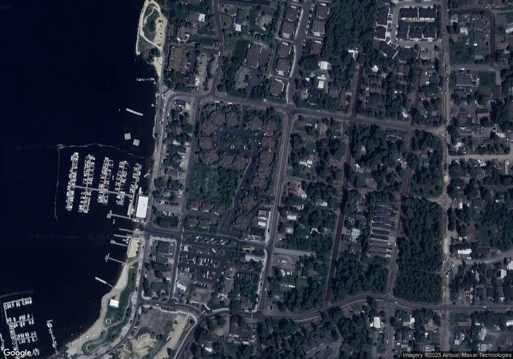
Map
Nearby Homes
- 1305 Greystone Dr
- 1305 Greystone Dr Unit 2
- 601 Hemlock St Unit 10
- 601 Hemlock St Unit 3
- 1391 Greystone Dr
- 2 Spruce St
- 2 Spruce St Unit 6
- 1517 Roosevelt Ave
- 611 Blue Water Cir
- 1520 Roosevelt Ave
- 703 Wooley Ave
- 622 Blue Water Cir
- 712 Reedy Ln
- 717 Spruce St
- 707 Bridle Path Way
- 911 Davis Ave
- 1630 Davis Ave Unit C18
- 1630 Davis Ave Unit B13
- 1630 Davis Ave Unit 19
- 900 Alpine St
- 1321 Greystone Dr
- 1325 Greystone Dr Unit 7
- 1325 Greystone Dr
- 1329 Greystone Dr Unit 8
- 1329 Greystone Dr
- 1333 Greystone Dr
- 1415 Greystone Dr Unit 30
- 1415 Greystone Dr
- 000 Roosevelt Ave
- #2 Lot 10 Blk 1 Roosevelt Ave
- #2 Lot 12 Blk 1 Roosevelt Ave
- #2 Lot 13 Blk 1 Roosevelt Ave
- #2 Lot 10 Blk 2 Roosevelt Ave
- #2 Lot 9 Blk 2 Roosevelt Ave
- 157 Roosevelt Ave
- TBD Roosevelt Ave
- 1313 Greystone Dr Unit 4
- 1313 Greystone Dr
- 1361#16 Greystone Dr
- 1411 Greystone Dr