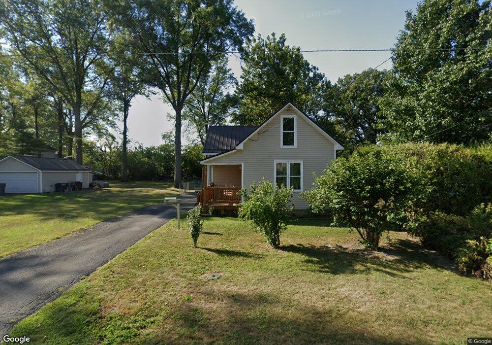
1321 Hazel Ave Lima, OH 45805
Central Lima NeighborhoodEstimated Value: $90,000 - $114,000
3
Beds
1
Bath
995
Sq Ft
$98/Sq Ft
Est. Value
About This Home
This home is located at 1321 Hazel Ave, Lima, OH 45805 and is currently estimated at $97,112, approximately $97 per square foot. 1321 Hazel Ave is a home located in Allen County with nearby schools including Heritage Elementary School, Lima North Middle School, and Lima West Middle School.
Ownership History
Date
Name
Owned For
Owner Type
Purchase Details
Closed on
Oct 10, 2019
Sold by
Wells Fargo Bank Na
Bought by
Kirby Eric Lorne
Current Estimated Value
Purchase Details
Closed on
Jun 10, 2019
Sold by
Houston Benny R
Bought by
Wells Fargo Bank Na
Purchase Details
Closed on
Aug 26, 1991
Bought by
Houston Benny R
Create a Home Valuation Report for This Property
The Home Valuation Report is an in-depth analysis detailing your home's value as well as a comparison with similar homes in the area
Home Values in the Area
Average Home Value in this Area
Purchase History
| Date | Buyer | Sale Price | Title Company |
|---|---|---|---|
| Kirby Eric Lorne | $18,600 | None Available | |
| Wells Fargo Bank Na | $23,341 | None Available | |
| Houston Benny R | -- | -- |
Source: Public Records
Tax History
| Year | Tax Paid | Tax Assessment Tax Assessment Total Assessment is a certain percentage of the fair market value that is determined by local assessors to be the total taxable value of land and additions on the property. | Land | Improvement |
|---|---|---|---|---|
| 2024 | $851 | $22,120 | $3,290 | $18,830 |
| 2023 | $763 | $17,010 | $2,520 | $14,490 |
| 2022 | $766 | $17,010 | $2,520 | $14,490 |
| 2021 | $808 | $17,010 | $2,520 | $14,490 |
| 2020 | $288 | $13,270 | $2,450 | $10,820 |
| 2019 | $288 | $13,270 | $2,450 | $10,820 |
| 2018 | $260 | $13,270 | $2,450 | $10,820 |
| 2017 | $242 | $12,290 | $2,450 | $9,840 |
| 2016 | $241 | $12,290 | $2,450 | $9,840 |
| 2015 | $189 | $12,290 | $2,450 | $9,840 |
| 2014 | $189 | $11,310 | $2,560 | $8,750 |
| 2013 | $185 | $11,310 | $2,560 | $8,750 |
Source: Public Records
Map
Nearby Homes
- 1245 Latham Ave
- 1407 Latham Ave
- 1015 N Cole St
- 0 Latham
- 1209 Rice Ave
- 1160 Richie Ave
- 1120 Richie Ave
- 1600 Leland Ave
- 1605 Hazel Ave
- 949 Leland Ave
- 1517 Allentown Rd
- 1027 Brice Ave
- 513 N Charles St
- 1023 Brice Ave
- 503 N Charles St
- 974 Richie Ave
- 1027 Sherman Ave
- 1508 Oakland Pkwy
- 824 Rice Ave
- 618 Woodward Ave
- 1319 Hazel Ave
- 1323 Hazel Ave
- 852 N Rosedale Ave
- 763 N Kenilworth Ave
- 1326 Leland Ave
- 1308 Leland Ave
- 1348 Leland Ave
- 706 N Rosedale Ave
- 1322 Hazel Ave
- 1324 Hazel Ave
- 1310 Hazel Ave
- 1302 Leland Ave
- 704 N Rosedale Ave
- 735 N Kenilworth Ave
- 1330 Hazel Ave
- 1252 Hazel Ave
- 831 N Rosedale Ave
- 780 N Kenilworth Ave
- 1238 Leland Ave
Your Personal Tour Guide
Ask me questions while you tour the home.