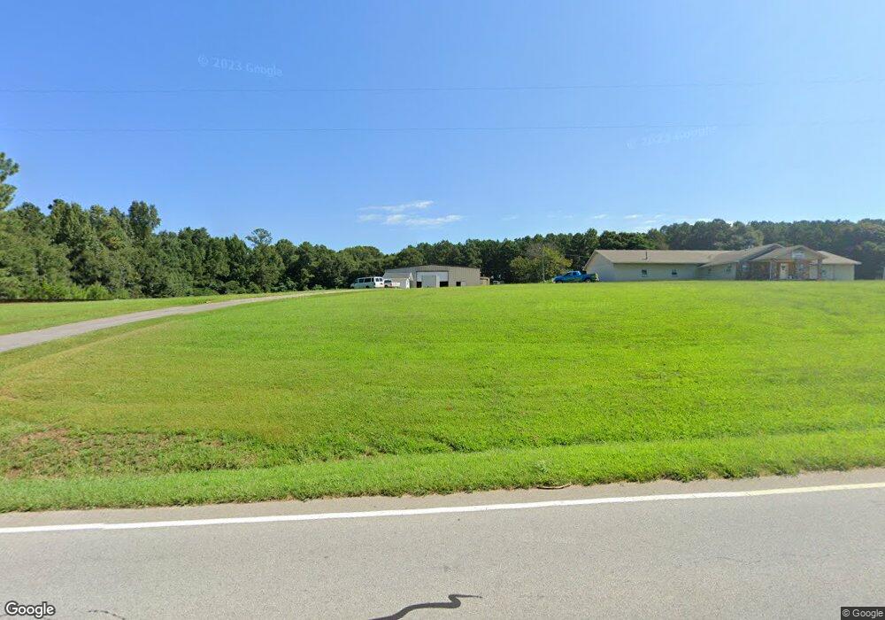
1321 Highway 17 S Royston, GA 30662
Estimated Value: $415,040
--
Bed
--
Bath
5,088
Sq Ft
$82/Sq Ft
Est. Value
About This Home
This home is located at 1321 Highway 17 S, Royston, GA 30662 and is currently estimated at $415,040, approximately $81 per square foot. 1321 Highway 17 S is a home located in Hart County with nearby schools including Hart County High School, Grace Ranch Academy, and Cornerstone Christian Academy.
Ownership History
Date
Name
Owned For
Owner Type
Purchase Details
Closed on
May 21, 2025
Sold by
Campbell Shawna M
Bought by
Campbell James Jason
Current Estimated Value
Purchase Details
Closed on
Mar 14, 2014
Sold by
Brock Tommy
Bought by
Campbell Alfred L and Campbell James Jason
Home Financials for this Owner
Home Financials are based on the most recent Mortgage that was taken out on this home.
Original Mortgage
$128,014
Interest Rate
4.3%
Mortgage Type
Commercial
Purchase Details
Closed on
Jun 4, 2007
Sold by
Seawright Bill C
Bought by
Brock Tommy
Purchase Details
Closed on
Jul 1, 2002
Purchase Details
Closed on
Feb 1, 1993
Purchase Details
Closed on
Jan 1, 1991
Purchase Details
Closed on
May 1, 1988
Create a Home Valuation Report for This Property
The Home Valuation Report is an in-depth analysis detailing your home's value as well as a comparison with similar homes in the area
Home Values in the Area
Average Home Value in this Area
Purchase History
| Date | Buyer | Sale Price | Title Company |
|---|---|---|---|
| Campbell James Jason | -- | -- | |
| Campbell Alfred L | $160,000 | -- | |
| Brock Tommy | $320,000 | -- | |
| -- | $200,000 | -- | |
| -- | $75,000 | -- | |
| -- | -- | -- | |
| -- | $140,000 | -- |
Source: Public Records
Mortgage History
| Date | Status | Borrower | Loan Amount |
|---|---|---|---|
| Previous Owner | Campbell Alfred L | $128,014 |
Source: Public Records
Tax History Compared to Growth
Tax History
| Year | Tax Paid | Tax Assessment Tax Assessment Total Assessment is a certain percentage of the fair market value that is determined by local assessors to be the total taxable value of land and additions on the property. | Land | Improvement |
|---|---|---|---|---|
| 2024 | $1,229 | $79,607 | $28,169 | $51,438 |
| 2023 | $1,241 | $74,536 | $20,297 | $54,238 |
| 2022 | $1,310 | $78,692 | $19,900 | $58,792 |
| 2021 | $1,337 | $72,103 | $12,867 | $59,236 |
| 2020 | $1,488 | $76,813 | $12,525 | $64,288 |
| 2019 | $1,550 | $79,309 | $12,525 | $66,784 |
| 2018 | $1,714 | $86,688 | $12,525 | $74,163 |
| 2017 | $1,723 | $86,688 | $12,525 | $74,163 |
| 2016 | $1,229 | $59,926 | $8,984 | $50,942 |
| 2015 | $1,246 | $63,970 | $11,542 | $52,428 |
| 2014 | $1,231 | $61,970 | $7,358 | $54,612 |
| 2013 | -- | $63,606 | $7,357 | $56,249 |
Source: Public Records
Map
Nearby Homes
- 233 Duncan Rd
- 406 Abc Farm Rd
- 40 Burch St
- 384 Freedom Church Rd
- 256 Adams Place Rd
- 464 Church St
- 527 Daniel St
- 2246 Wildcat Bridge Rd
- 2695 Wildcat Bridge Rd
- 0 Wildcat Bridge Rd Unit 23872265
- 0 Wildcat Bridge Rd Unit 10544672
- 70 Bowers St
- 231 Bowers St
- 00 Georgia 17
- 5.88 Royston Bypass
- 401 Georgia 17
- 121 Cook St
- 240 Bowers St
- 342 Phillips Cir
- 157 Hartwell St
- 1321 Georgia 17
- 1233 Highway 17 S
- 1360 Highway 17 S
- 1360 Georgia 17
- 1272 Georgia 17
- 1272 Highway 17 S
- 442 Parker Rd
- 1268 Highway 17 S
- 1372 Highway 17 S
- 1372 Georgia 17
- 400 Parker Rd
- 60 Country Ridge Dr
- 0 Country Ln Unit 8165372
- 0 Country Ln Unit 8358633
- 140 Country Ln
- 26 Country Ridge Dr
- 1166 Highway 17 S
- 100 Country Ridge Dr
- 140 Country Ridge Dr
- 0 Country Ridge Dr Unit 8358633