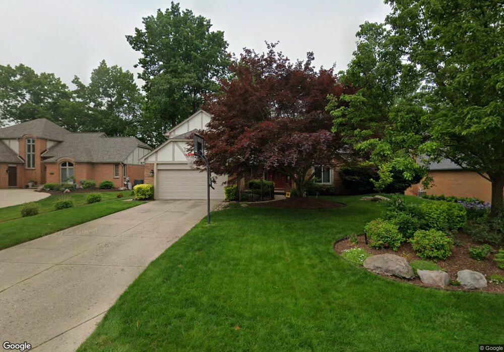
1321 Kingspath Dr Rochester Hills, MI 48306
Estimated Value: $585,635 - $665,000
4
Beds
3
Baths
2,833
Sq Ft
$221/Sq Ft
Est. Value
About This Home
This home is located at 1321 Kingspath Dr, Rochester Hills, MI 48306 and is currently estimated at $626,909, approximately $221 per square foot. 1321 Kingspath Dr is a home located in Oakland County with nearby schools including Musson Elementary School, Van Hoosen Middle School, and Rochester Adams High School.
Ownership History
Date
Name
Owned For
Owner Type
Purchase Details
Closed on
Jul 28, 2011
Sold by
David B Taylor Revocable Trust and Taylor David B
Bought by
Balasubrahmanyan Gautam and Gurumurthy Aruna
Current Estimated Value
Home Financials for this Owner
Home Financials are based on the most recent Mortgage that was taken out on this home.
Original Mortgage
$270,000
Outstanding Balance
$187,553
Interest Rate
4.64%
Mortgage Type
New Conventional
Estimated Equity
$439,356
Purchase Details
Closed on
Jul 29, 2005
Sold by
Taylor David B
Bought by
David B Taylor Revocable Trust and Taylor David B
Purchase Details
Closed on
Apr 13, 2005
Sold by
Taylor David B
Bought by
David B Taylor Revocable Trust and Taylor David B
Create a Home Valuation Report for This Property
The Home Valuation Report is an in-depth analysis detailing your home's value as well as a comparison with similar homes in the area
Home Values in the Area
Average Home Value in this Area
Purchase History
| Date | Buyer | Sale Price | Title Company |
|---|---|---|---|
| Balasubrahmanyan Gautam | $300,000 | Partners Title Agency Llc | |
| David B Taylor Revocable Trust | -- | Title Source Inc | |
| Taylor David B | -- | -- | |
| David B Taylor Revocable Trust | -- | -- |
Source: Public Records
Mortgage History
| Date | Status | Borrower | Loan Amount |
|---|---|---|---|
| Open | Balasubrahmanyan Gautam | $270,000 |
Source: Public Records
Tax History Compared to Growth
Tax History
| Year | Tax Paid | Tax Assessment Tax Assessment Total Assessment is a certain percentage of the fair market value that is determined by local assessors to be the total taxable value of land and additions on the property. | Land | Improvement |
|---|---|---|---|---|
| 2022 | $3,081 | $206,840 | $0 | $0 |
| 2018 | $4,787 | $181,160 | $0 | $0 |
| 2017 | $4,691 | $179,060 | $0 | $0 |
| 2015 | -- | $169,330 | $0 | $0 |
| 2014 | -- | $154,660 | $0 | $0 |
| 2011 | -- | $133,250 | $0 | $0 |
Source: Public Records
Map
Nearby Homes
- 3634 Camden Ct
- 3640 Camden Ct
- 3674 Merriweather Ln
- 3879 Teakwood Ln
- 3534 Riverside Dr Unit 141
- 4035 Hillsdale Dr Unit 275
- 3273 Salem Dr
- 423 Silvervale Dr
- 1906 Independence Ct
- 3633 Thornwood Dr
- 1609 Kilburn Rd N
- 2935 Woodford Cir
- 3095 Bridgewater Rd Unit 30
- 3057 Bridgewater Rd
- 3639 Heatherwood Ct
- 5700 Rolling Hills Dr
- 2700 Mohawk Ln
- 3780 Bald Mountain Rd
- 5826 Murfield Dr
- 3111 Ramzi Ln
- 1315 Kingspath Dr
- 1329 Kingspath Dr
- 1335 Kingspath Dr
- 1326 Kingspath Dr
- 1332 Kingspath Dr
- 1343 Kingspath Dr
- 3593 Sherborn Dr
- 1309 Kingspath Dr
- 3585 Sherborn Dr
- 3582 Sherborn Dr
- 1344 Kingspath Dr
- 1312 Kingspath Dr
- 1349 Kingspath Dr
- 1303 Kingspath Dr
- 1308 Kingspath Dr
- 3576 Sherborn Dr
- 3579 Sherborn Dr
- 1350 Kingspath Dr
- 1288 Muirwood Ct
- 1310 Muirwood Ct