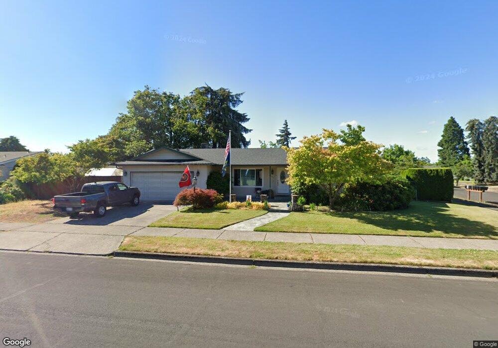
1321 Lawnridge Ave Springfield, OR 97477
North Springfield NeighborhoodEstimated Value: $451,000 - $477,488
3
Beds
2
Baths
1,454
Sq Ft
$318/Sq Ft
Est. Value
About This Home
This home is located at 1321 Lawnridge Ave, Springfield, OR 97477 and is currently estimated at $462,872, approximately $318 per square foot. 1321 Lawnridge Ave is a home located in Lane County with nearby schools including Elizabeth Page Elementary School, Briggs Middle School, and Springfield High School.
Ownership History
Date
Name
Owned For
Owner Type
Purchase Details
Closed on
Nov 19, 2024
Sold by
Elton Douglas C and White Elizabeth G
Bought by
Elton & White Trust and Elton
Current Estimated Value
Purchase Details
Closed on
Jul 30, 1998
Sold by
Johnson Frances Jean and Thompson Roberta
Bought by
Elton Douglas C and White Elizabeth G
Home Financials for this Owner
Home Financials are based on the most recent Mortgage that was taken out on this home.
Original Mortgage
$147,390
Interest Rate
6.9%
Mortgage Type
VA
Create a Home Valuation Report for This Property
The Home Valuation Report is an in-depth analysis detailing your home's value as well as a comparison with similar homes in the area
Home Values in the Area
Average Home Value in this Area
Purchase History
| Date | Buyer | Sale Price | Title Company |
|---|---|---|---|
| Elton & White Trust | -- | None Listed On Document | |
| Elton Douglas C | $144,500 | Evergreen Land Title Co |
Source: Public Records
Mortgage History
| Date | Status | Borrower | Loan Amount |
|---|---|---|---|
| Previous Owner | Elton Douglas C | $147,390 |
Source: Public Records
Tax History Compared to Growth
Tax History
| Year | Tax Paid | Tax Assessment Tax Assessment Total Assessment is a certain percentage of the fair market value that is determined by local assessors to be the total taxable value of land and additions on the property. | Land | Improvement |
|---|---|---|---|---|
| 2024 | $4,690 | $252,393 | -- | -- |
| 2023 | $4,690 | $245,042 | $0 | $0 |
| 2022 | $4,344 | $237,905 | $0 | $0 |
| 2021 | $4,266 | $230,976 | $0 | $0 |
| 2020 | $4,141 | $224,249 | $0 | $0 |
| 2019 | $4,017 | $217,718 | $0 | $0 |
| 2018 | $3,786 | $205,220 | $0 | $0 |
| 2017 | $3,641 | $205,220 | $0 | $0 |
| 2016 | $3,564 | $199,243 | $0 | $0 |
| 2015 | $3,463 | $193,440 | $0 | $0 |
| 2014 | $3,410 | $187,806 | $0 | $0 |
Source: Public Records
Map
Nearby Homes
- 1317 Lawnridge Ave
- 1325 Lawnridge Ave
- 1329 Lawnridge Ave
- 1288 Lawnridge Ave
- 1313 Lawnridge Ave
- 1335 Lawnridge Ave
- 1283 Lawnridge Ave
- 1284 Lawnridge Ave
- 1318 Lawnridge Ave
- 1289 Lawnridge Ave
- 1282 Lawnridge Ave
- 1332 Lawnridge Ave
- 1339 Lawnridge Ave
- 1309 Lawnridge Ave
- 1359 Lawnridge Ave
- 1361 Lawnridge Ave
- 1260 Lawnridge Ave
- 1344 Lawnridge Ave
- 1293 Lawnridge Ave
- 1355 Lawnridge Ave