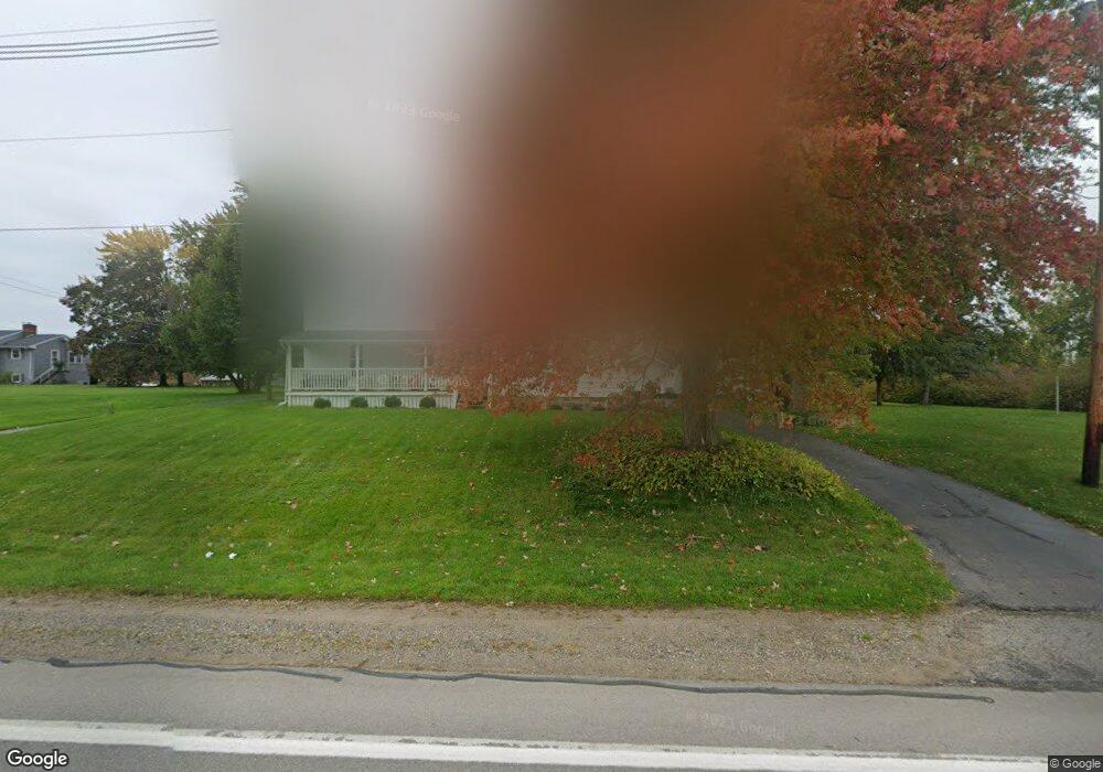
1321 Lawrence Hwy Charlotte, MI 48813
Estimated Value: $185,000 - $233,000
4
Beds
2
Baths
2,222
Sq Ft
$97/Sq Ft
Est. Value
About This Home
This home is located at 1321 Lawrence Hwy, Charlotte, MI 48813 and is currently estimated at $214,747, approximately $96 per square foot. 1321 Lawrence Hwy is a home located in Eaton County with nearby schools including Washington Elementary School, Charlotte Upper Elementary School, and Charlotte Middle School.
Ownership History
Date
Name
Owned For
Owner Type
Purchase Details
Closed on
Jul 14, 2022
Sold by
Rosenbrook Robby L and Rosenbrook Ronda S
Bought by
Robby L Rosenbrook And Ronda S Rosenbrook Liv
Current Estimated Value
Purchase Details
Closed on
Dec 17, 2021
Sold by
Loy L Nash And Veronica A Nash Trust
Bought by
Rosenbrook Robby and Rosenbrook Ronda
Purchase Details
Closed on
Aug 26, 2003
Sold by
Nash Loy L and Nash Veronica A
Bought by
Loy L Nash & Veronica A Nash Trust and Nash Veronica A
Create a Home Valuation Report for This Property
The Home Valuation Report is an in-depth analysis detailing your home's value as well as a comparison with similar homes in the area
Home Values in the Area
Average Home Value in this Area
Purchase History
| Date | Buyer | Sale Price | Title Company |
|---|---|---|---|
| Robby L Rosenbrook And Ronda S Rosenbrook Liv | -- | None Listed On Document | |
| Rosenbrook Robby | $135,000 | Ata National Title Group | |
| Loy L Nash & Veronica A Nash Trust | -- | Attorney |
Source: Public Records
Tax History Compared to Growth
Tax History
| Year | Tax Paid | Tax Assessment Tax Assessment Total Assessment is a certain percentage of the fair market value that is determined by local assessors to be the total taxable value of land and additions on the property. | Land | Improvement |
|---|---|---|---|---|
| 2025 | $3,127 | $104,980 | $0 | $0 |
| 2024 | $983 | $100,290 | $0 | $0 |
| 2023 | $936 | $82,650 | $0 | $0 |
| 2022 | $2,391 | $79,780 | $0 | $0 |
| 2021 | $1,680 | $76,190 | $0 | $0 |
| 2020 | $1,661 | $71,300 | $0 | $0 |
| 2019 | $1,638 | $66,700 | $0 | $0 |
| 2018 | $1,612 | $59,295 | $0 | $0 |
| 2017 | $1,544 | $59,779 | $0 | $0 |
| 2016 | -- | $57,728 | $0 | $0 |
| 2015 | -- | $55,710 | $0 | $0 |
| 2014 | -- | $50,751 | $0 | $0 |
| 2013 | -- | $52,692 | $0 | $0 |
Source: Public Records
Map
Nearby Homes
- 1272 W Lawrence Hwy
- 525 N Wheaton Rd
- 717 Katies Way
- 717 High St
- 827 Walnut St
- 113 S Clinton St
- 922 High St
- 738 W Shepherd St
- 757 W Shepherd St
- 206 W Harris St
- 308 S Sheldon St
- 315 W Henry St
- 318 N Cochran Ave
- 0 Pinebluff Dr Parcel O Unit 258041
- 428 N Washington St
- 938 N Cochran Ave
- 138 Canterbury Dr
- 340 Horatio St
- 509 W 3rd St
- 601 S Cochran Ave
- 1375 Lawrence Hwy
- 1285 W Lawrence Hwy
- 1285 Lawrence Hwy
- 1326 W Lawrence Hwy
- 1326 Lawrence Hwy
- 1372 Lawrence Hwy
- 1300 W Lawrence Hwy
- 1300 Lawrence Hwy
- 1380 Lawrence Hwy
- 1272 Lawrence Hwy
- 1380 W Lawrence Hwy
- 25 Twila Ln
- 91 Twila Ln
- 1368 Lawrence Hwy
- 1250 Lawrence Hwy
- 1440 Lawrence Hwy
- 0 Twila Ln
- 181 Twila Ln
- 88 Twila Ln
- 1530 W Lawrence Hwy