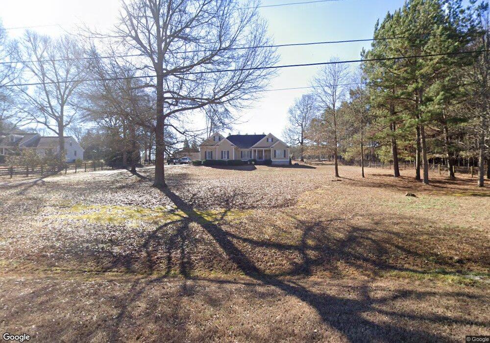
1321 Luke Cir Bogart, GA 30622
Estimated Value: $489,000 - $529,000
--
Bed
--
Bath
2,827
Sq Ft
$180/Sq Ft
Est. Value
About This Home
This home is located at 1321 Luke Cir, Bogart, GA 30622 and is currently estimated at $507,983, approximately $179 per square foot. 1321 Luke Cir is a home located in Oconee County with nearby schools including Malcom Bridge Elementary School, Malcom Bridge Middle School, and North Oconee High School.
Ownership History
Date
Name
Owned For
Owner Type
Purchase Details
Closed on
Mar 22, 2010
Sold by
Thomas Edwin J
Bought by
Gittens Blake
Current Estimated Value
Create a Home Valuation Report for This Property
The Home Valuation Report is an in-depth analysis detailing your home's value as well as a comparison with similar homes in the area
Home Values in the Area
Average Home Value in this Area
Purchase History
| Date | Buyer | Sale Price | Title Company |
|---|---|---|---|
| Gittens Blake | -- | -- | |
| Gittens Blake | -- | -- |
Source: Public Records
Tax History Compared to Growth
Tax History
| Year | Tax Paid | Tax Assessment Tax Assessment Total Assessment is a certain percentage of the fair market value that is determined by local assessors to be the total taxable value of land and additions on the property. | Land | Improvement |
|---|---|---|---|---|
| 2024 | $3,329 | $180,953 | $32,813 | $148,140 |
| 2023 | $3,344 | $170,964 | $30,383 | $140,581 |
| 2022 | $3,094 | $146,212 | $24,306 | $121,906 |
| 2021 | $3,002 | $131,668 | $22,096 | $109,572 |
| 2020 | $2,837 | $124,364 | $20,088 | $104,276 |
| 2019 | $2,707 | $118,759 | $17,468 | $101,291 |
| 2018 | $2,499 | $107,490 | $15,880 | $91,610 |
| 2017 | $2,086 | $90,050 | $13,233 | $76,817 |
| 2016 | $2,013 | $86,970 | $12,030 | $74,940 |
| 2015 | $2,011 | $86,743 | $12,030 | $74,713 |
| 2014 | $1,950 | $82,306 | $10,936 | $71,369 |
| 2013 | -- | $78,314 | $10,837 | $67,477 |
Source: Public Records
Map
Nearby Homes
- 325 Twin Oaks Cir
- 2188 Day Dr
- 1715 Whistling Creek Crossing Unit Lot 21
- 119 S Church St
- 305 Dove Field Dr Unit 80
- 1060 Fox Hollow Ct
- 287 Dove Field Dr
- 287 Dove Field Dr Unit 81
- 267 Dove Field Dr Unit 82
- 247 Dove Field Dr Unit 83
- 227 Dove Field Dr Unit 84
- 1851 McNutt Creek Rd
- 130 Abby Ln
- 1811 McNutt Creek Rd
- 1190 Dials Mill Spur
- 1810 Beebalm Dr
- 97 Defilippe Dr
- 129 Purackal Ln