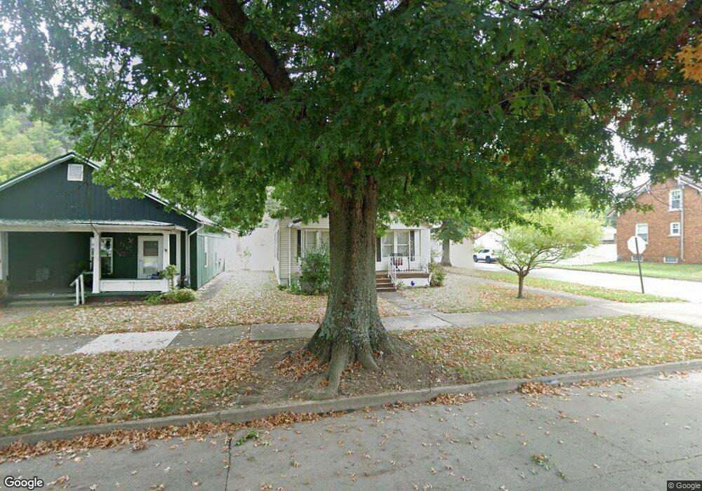
1321 S 10th St Ironton, OH 45638
Estimated Value: $84,000 - $94,143
2
Beds
1
Bath
858
Sq Ft
$104/Sq Ft
Est. Value
About This Home
This home is located at 1321 S 10th St, Ironton, OH 45638 and is currently estimated at $89,536, approximately $104 per square foot. 1321 S 10th St is a home located in Lawrence County with nearby schools including Ironton Elementary School, Ironton Middle School, and Ironton High School.
Ownership History
Date
Name
Owned For
Owner Type
Purchase Details
Closed on
Apr 23, 2010
Sold by
Baker Janet Eaches
Bought by
Holmes Barbara R
Current Estimated Value
Home Financials for this Owner
Home Financials are based on the most recent Mortgage that was taken out on this home.
Original Mortgage
$35,838
Interest Rate
5.5%
Mortgage Type
FHA
Purchase Details
Closed on
Jan 1, 1987
Bought by
Eaches Everett R and Eaches Jose
Create a Home Valuation Report for This Property
The Home Valuation Report is an in-depth analysis detailing your home's value as well as a comparison with similar homes in the area
Home Values in the Area
Average Home Value in this Area
Purchase History
| Date | Buyer | Sale Price | Title Company |
|---|---|---|---|
| Holmes Barbara R | $36,500 | Attorney | |
| Eaches Everett R | -- | -- |
Source: Public Records
Mortgage History
| Date | Status | Borrower | Loan Amount |
|---|---|---|---|
| Closed | Holmes Barbara R | $35,838 |
Source: Public Records
Tax History Compared to Growth
Tax History
| Year | Tax Paid | Tax Assessment Tax Assessment Total Assessment is a certain percentage of the fair market value that is determined by local assessors to be the total taxable value of land and additions on the property. | Land | Improvement |
|---|---|---|---|---|
| 2024 | -- | $20,450 | $3,990 | $16,460 |
| 2023 | $747 | $20,450 | $3,990 | $16,460 |
| 2022 | $745 | $20,450 | $3,990 | $16,460 |
| 2021 | $628 | $16,670 | $3,060 | $13,610 |
| 2020 | $643 | $16,670 | $3,060 | $13,610 |
| 2019 | $641 | $16,670 | $3,060 | $13,610 |
| 2018 | $648 | $16,670 | $3,060 | $13,610 |
| 2017 | $647 | $16,670 | $3,060 | $13,610 |
| 2016 | $605 | $16,670 | $3,060 | $13,610 |
| 2015 | $636 | $16,900 | $3,360 | $13,540 |
| 2014 | $614 | $16,900 | $3,360 | $13,540 |
| 2013 | $549 | $15,170 | $3,360 | $11,810 |
Source: Public Records
Map
Nearby Homes
- 1324 S 10th St
- 914 Pine St
- 914 Pine St
- 1222 Osage Ct
- 1525 S 6th St
- 517 Spruce St
- 1219 Penobscot Trail
- 721 Chestnut St
- 721 Chestnut St Unit CO-1
- 717 Chestnut St Unit IO-1
- 914 S 8th St Unit IO-2
- 1619 S 6th St
- 1214 S 5th St
- 1214 S 5th St Unit 1216, 1216 1/2 S 5th
- 1014 S 5th St
- 1016 S 5th St
- 1216 S 4th St
- 1703 S 5th St
- 0 S 10th St
- 1819 S 6th St
- 1319 S 10th St
- 1315 S 10th St
- 1403 S 10th St
- 1013 Pine St
- 1405 S 10th St
- 1017 Pine St
- 1318 S 10th St
- 1026 Pine St
- 1416 S 10th St Unit A
- 1402 S 10th St
- 1404 S 11th St
- 1404 S 11th St Unit JO-9
- 1021 Pine St
- 1301 S 10th St
- 1314 S 10th St
- 1411 S 10th St
- 1014 Spruce St
- 1310 S 10th St
- 915 Pine St
- 1406 S 10th St