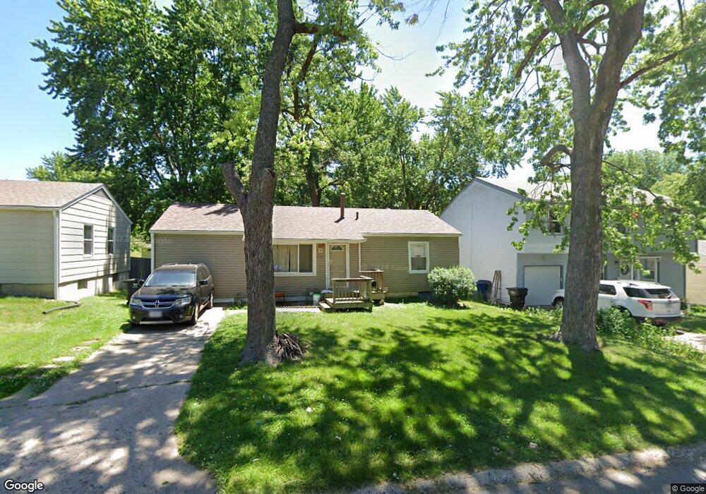
1321 S Crane St Independence, MO 64055
Hanthorn NeighborhoodEstimated Value: $150,000 - $172,000
2
Beds
1
Bath
1,056
Sq Ft
$152/Sq Ft
Est. Value
About This Home
This home is located at 1321 S Crane St, Independence, MO 64055 and is currently estimated at $160,332, approximately $151 per square foot. 1321 S Crane St is a home located in Jackson County with nearby schools including Sycamore Hills Elementary School, Bridger Middle School, and Pioneer Ridge Middle School.
Ownership History
Date
Name
Owned For
Owner Type
Purchase Details
Closed on
Jun 5, 2025
Sold by
Johnston Randall Ashby and Johnston Marsha D
Bought by
Lightfoot Michael R
Current Estimated Value
Home Financials for this Owner
Home Financials are based on the most recent Mortgage that was taken out on this home.
Original Mortgage
$115,000
Outstanding Balance
$114,702
Interest Rate
6.76%
Mortgage Type
Seller Take Back
Estimated Equity
$45,630
Create a Home Valuation Report for This Property
The Home Valuation Report is an in-depth analysis detailing your home's value as well as a comparison with similar homes in the area
Home Values in the Area
Average Home Value in this Area
Purchase History
| Date | Buyer | Sale Price | Title Company |
|---|---|---|---|
| Lightfoot Michael R | -- | Secured Title Of Kansas City |
Source: Public Records
Mortgage History
| Date | Status | Borrower | Loan Amount |
|---|---|---|---|
| Open | Lightfoot Michael R | $115,000 |
Source: Public Records
Tax History Compared to Growth
Tax History
| Year | Tax Paid | Tax Assessment Tax Assessment Total Assessment is a certain percentage of the fair market value that is determined by local assessors to be the total taxable value of land and additions on the property. | Land | Improvement |
|---|---|---|---|---|
| 2025 | $1,267 | $18,342 | $4,343 | $13,999 |
| 2024 | $1,267 | $18,286 | $2,865 | $15,421 |
| 2023 | $1,238 | $18,286 | $2,090 | $16,196 |
| 2022 | $1,025 | $13,870 | $3,766 | $10,104 |
| 2021 | $1,024 | $13,870 | $3,766 | $10,104 |
| 2020 | $1,048 | $13,794 | $3,766 | $10,028 |
| 2019 | $1,031 | $13,794 | $3,766 | $10,028 |
| 2018 | $940 | $12,005 | $3,277 | $8,728 |
| 2017 | $926 | $12,005 | $3,277 | $8,728 |
| 2016 | $926 | $11,704 | $2,544 | $9,160 |
| 2014 | $879 | $11,364 | $2,470 | $8,894 |
Source: Public Records
Map
Nearby Homes
- 1217 S Crane St
- 1410 S Logan Ave
- 610 E Fair St
- 1126 S Logan Ave
- 1312 S Emery St
- 1106 E 23rd St S
- 1324 S Emery Ave
- 735 E Devon St
- 1016 E Stone St
- 1340 S Emery Ave
- 1040 E Stone St
- 1202 E 23rd St S
- 1425 S Kings Hwy
- 1200 E Stone St
- 421 E Angus St
- 929 S Pope Ave
- 1615 S Drumm Ave
- 522 E Devon St
- 823 S Raymond St
- 800 E Manor Rd
- 1319 S Crane St
- 1323 S Crane St
- 1317 S Crane St
- 1325 S Crane St
- 1315 S Crane St
- 1318 S Crane St
- 1327 S Crane St
- 1320 S Crane St
- 1316 S Crane St
- 1322 S Crane St
- 1314 S Crane St
- 1324 S Crane St
- 1313 S Crane St
- 1329 S Crane St
- 1312 S Crane St
- 1326 S Crane St
- 1311 S Crane St
- 1401 S Crane St
- 1334 Randall Rd
- 1338 Randall Rd