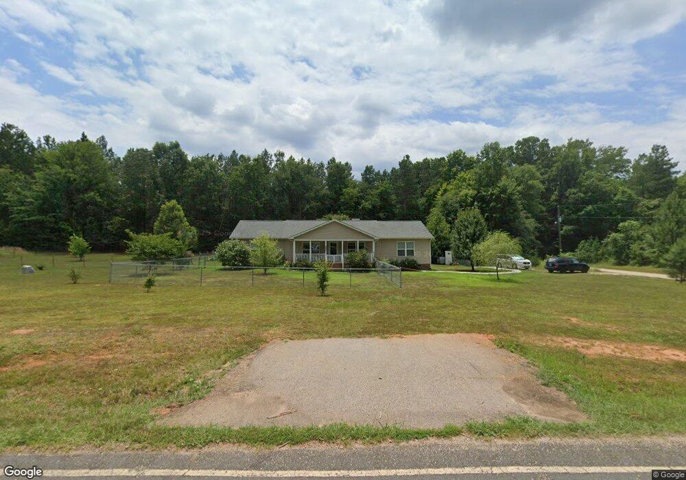
1321 Simpson Rd Mc Connells, SC 29726
Estimated Value: $348,000 - $396,000
3
Beds
2
Baths
1,880
Sq Ft
$201/Sq Ft
Est. Value
About This Home
This home is located at 1321 Simpson Rd, Mc Connells, SC 29726 and is currently estimated at $378,000, approximately $201 per square foot. 1321 Simpson Rd is a home located in York County with nearby schools including Jefferson Elementary School, York Intermediate School, and York Middle School.
Ownership History
Date
Name
Owned For
Owner Type
Purchase Details
Closed on
Jun 1, 2023
Sold by
Walker Katherine B
Bought by
Katherine B Walker Living Trust
Current Estimated Value
Purchase Details
Closed on
Oct 3, 2016
Sold by
Hollingsworth Aaron
Bought by
Walker Katherine B
Purchase Details
Closed on
Mar 16, 2015
Sold by
Decker David A
Bought by
Hollingsworth Aaron
Create a Home Valuation Report for This Property
The Home Valuation Report is an in-depth analysis detailing your home's value as well as a comparison with similar homes in the area
Home Values in the Area
Average Home Value in this Area
Purchase History
| Date | Buyer | Sale Price | Title Company |
|---|---|---|---|
| Katherine B Walker Living Trust | -- | None Listed On Document | |
| Walker Katherine B | $76,153 | -- | |
| Hollingsworth Aaron | $16,000 | -- |
Source: Public Records
Tax History Compared to Growth
Tax History
| Year | Tax Paid | Tax Assessment Tax Assessment Total Assessment is a certain percentage of the fair market value that is determined by local assessors to be the total taxable value of land and additions on the property. | Land | Improvement |
|---|---|---|---|---|
| 2025 | $1,565 | $9,067 | $1,372 | $7,695 |
| 2024 | $1,321 | $7,884 | $938 | $6,946 |
| 2023 | $1,007 | $7,885 | $942 | $6,943 |
| 2022 | $1,010 | $7,885 | $942 | $6,943 |
| 2021 | -- | $7,885 | $942 | $6,943 |
| 2020 | $1,007 | $7,885 | $0 | $0 |
| 2019 | $865 | $6,856 | $0 | $0 |
| 2018 | $831 | $6,856 | $0 | $0 |
| 2017 | $1,115 | $6,856 | $0 | $0 |
| 2016 | $2,743 | $7,314 | $0 | $0 |
| 2014 | -- | $10 | $10 | $0 |
| 2013 | -- | $10 | $10 | $0 |
Source: Public Records
Map
Nearby Homes
- 1865 McConnells Hwy W
- 1951 McConnells Hwy W
- 1302 Bryson Creek Dr
- 665 N Burris Rd
- 1348 Bryson Creek Dr
- 2420 Creekside Dr
- 000 Creekside Dr Unit 65,66,67
- 1265 N Burris Rd
- 1369 Mack Dr
- 2099 Cedar Rd
- 615 Hawley Rd
- 00 Hord Rd
- 108 Daves Rd
- 143 Flushing Dr
- 211 Daves Rd
- 208 Daves Rd
- 249 Brown Neal Rd
- 5555 Lockhart Rd
- 1066 Cameron Rd
- 6.5 + - Ac Bookout Rd
- 8.2 Ac Simpson Rd
- 1302 Simpson Rd
- 1388 Simpson Rd
- 1371 Simpson Rd
- 1373 Simpson Rd
- 1274 State Road S-46-169
- 5 Ac State Road S-46-169
- 40.38 AC Simpson Rd
- 1375 Simpson Rd
- 5 Acres State Road S-46-169
- 626 Parson Rd
- 0 Parson Rd Unit 765512
- 100 AC Simpson Rd
- 12.5 A Parson Rd
- 38.52 Acres Parson Rd
- 827 Parson Rd
- 1144 Simpson Rd
- 614 Parson Rd
- 23.5 AC Parson Rd
- 855 Parson Rd