1321 State Road 69 Belleville, WI 53508
Estimated Value: $360,000 - $665,000
--
Bed
--
Bath
--
Sq Ft
1.85
Acres
About This Home
This home is located at 1321 State Road 69, Belleville, WI 53508 and is currently estimated at $472,393. 1321 State Road 69 is a home located in Dane County with nearby schools including Belleville Elementary School, Belleville Middle School, and Belleville High School.
Ownership History
Date
Name
Owned For
Owner Type
Purchase Details
Closed on
Jan 31, 2023
Sold by
Enloe Wayne T
Bought by
Enloe Wayne T and Enloe Wade M
Current Estimated Value
Purchase Details
Closed on
Feb 5, 2020
Sold by
Enloe Wayne T
Bought by
Wisconsin Department Of Transportation
Purchase Details
Closed on
Dec 30, 2014
Sold by
Randall Nancy J
Bought by
Enloe Wayne T
Home Financials for this Owner
Home Financials are based on the most recent Mortgage that was taken out on this home.
Original Mortgage
$200,000
Interest Rate
3.97%
Mortgage Type
New Conventional
Purchase Details
Closed on
May 21, 2008
Sold by
Randall Lawrence P
Bought by
Randall Nancy J
Create a Home Valuation Report for This Property
The Home Valuation Report is an in-depth analysis detailing your home's value as well as a comparison with similar homes in the area
Home Values in the Area
Average Home Value in this Area
Purchase History
| Date | Buyer | Sale Price | Title Company |
|---|---|---|---|
| Enloe Wayne T | $10,400 | -- | |
| Wisconsin Department Of Transportation | $10,400 | None Available | |
| Enloe Wayne T | $200,000 | None Available | |
| Randall Nancy J | -- | None Available |
Source: Public Records
Mortgage History
| Date | Status | Borrower | Loan Amount |
|---|---|---|---|
| Previous Owner | Enloe Wayne T | $200,000 |
Source: Public Records
Tax History Compared to Growth
Tax History
| Year | Tax Paid | Tax Assessment Tax Assessment Total Assessment is a certain percentage of the fair market value that is determined by local assessors to be the total taxable value of land and additions on the property. | Land | Improvement |
|---|---|---|---|---|
| 2024 | $4,877 | $388,000 | $128,300 | $259,700 |
| 2023 | $4,481 | $388,000 | $128,300 | $259,700 |
| 2021 | $4,881 | $251,500 | $79,400 | $172,100 |
| 2020 | $4,482 | $251,500 | $79,400 | $172,100 |
| 2019 | $4,202 | $251,500 | $79,400 | $172,100 |
| 2018 | $4,054 | $251,500 | $79,400 | $172,100 |
| 2017 | $4,281 | $251,500 | $79,400 | $172,100 |
| 2016 | $3,978 | $251,500 | $79,400 | $172,100 |
| 2015 | $4,123 | $251,500 | $79,400 | $172,100 |
| 2014 | $4,226 | $251,500 | $79,400 | $172,100 |
| 2013 | $3,963 | $251,500 | $79,400 | $172,100 |
Source: Public Records
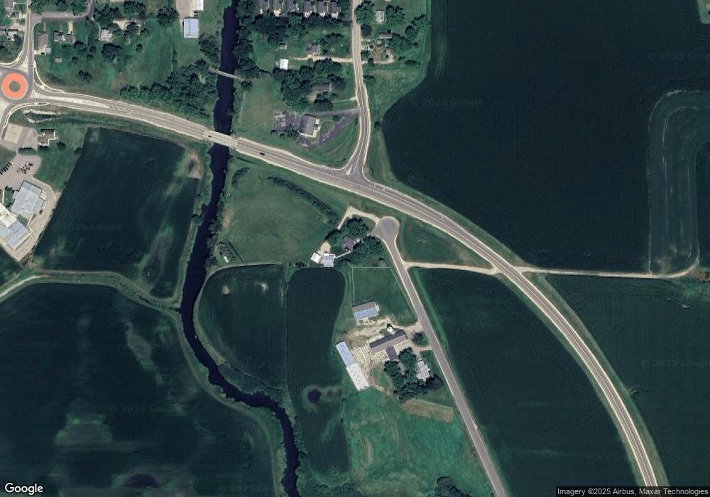
Map
Nearby Homes
- 6908 Paoli Rd
- 1299 County Road Pb
- 1741 Black Cherry Ct
- 0 Riverside Rd Unit 2005389
- Lot 1 Rosevale Dr
- Lot 3 Rosevale Dr
- 1980 Manhattan Dr
- 1245 Merry Blossom Ln
- 1208 Merry Blossom Ln
- 955 Westminster Way
- 1045 Range Trail
- 6435 County Road M
- 1329 County Road D
- 102 Prairie Heights Dr Unit 416
- 27.72 Ac Valley Rd and Hwy 69 Acres
- 272 Albert Cir
- 276 Albert Cir
- 264 Albert Cir
- 278 Albert Cir
- 260 Albert Cir
- 1347 Diane Ave
- 1354 Diane Ave
- 1353 Diane Ave
- 1358 Diane Ave
- 1362 Diane Ave
- 1357 Dianne Ave
- 1363 Dianne Ave
- 1359 Diane Ave Unit 2
- 1365 Diane Ave Unit 5
- 1361 Diane Ave Unit 3
- 1366 Diane Ave
- 1372 Diane Ave
- 6851 Paoli Rd
- 6895 Harrison St
- 6850 Paoli Rd
- 6854 Paoli Rd
- 6905 Harrison St
- 6909 Harrison St
- 6890 Paoli Rd
- 6894 Paoli Rd