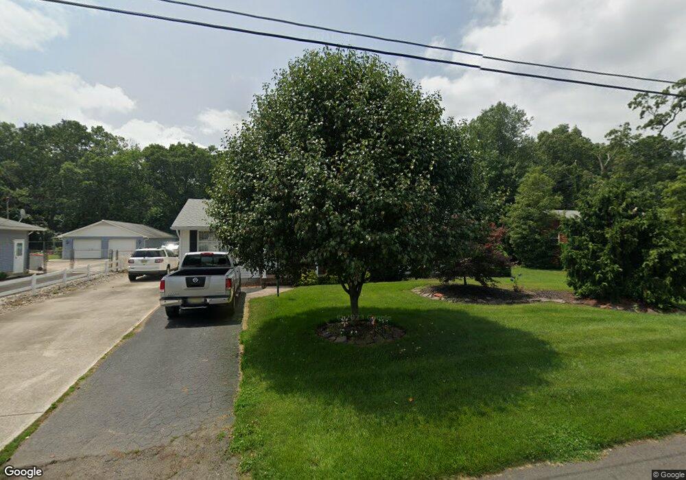
1321 Venus Dr Vineland, NJ 08360
Estimated Value: $259,398 - $324,000
--
Bed
--
Bath
1,430
Sq Ft
$208/Sq Ft
Est. Value
About This Home
This home is located at 1321 Venus Dr, Vineland, NJ 08360 and is currently estimated at $298,100, approximately $208 per square foot. 1321 Venus Dr is a home located in Cumberland County with nearby schools including Marie D. Durand Elementary School, T.W. Wallace Middle School, and Vineland Senior High School.
Ownership History
Date
Name
Owned For
Owner Type
Purchase Details
Closed on
Oct 13, 2003
Sold by
Deutsche Bank Trust Co America
Bought by
Brandt Merrily
Current Estimated Value
Purchase Details
Closed on
Jul 28, 2003
Sold by
Truxton William E
Bought by
Brandt Construction Llc
Purchase Details
Closed on
Aug 30, 2002
Sold by
Woolmer Esme
Bought by
Brant Const Llc
Purchase Details
Closed on
Jul 23, 2001
Sold by
Estate Of Baila Mayerfeld
Bought by
Brandt Construction Llc
Purchase Details
Closed on
Sep 24, 1976
Bought by
Brandt Robert W and Brandt Merrily G
Create a Home Valuation Report for This Property
The Home Valuation Report is an in-depth analysis detailing your home's value as well as a comparison with similar homes in the area
Home Values in the Area
Average Home Value in this Area
Purchase History
| Date | Buyer | Sale Price | Title Company |
|---|---|---|---|
| Brandt Merrily | $79,500 | -- | |
| Brandt Construction Llc | $13,000 | -- | |
| Brant Const Llc | $80,000 | -- | |
| Brandt Construction Llc | $10,000 | -- | |
| Brandt Construction Llc | $10,000 | -- | |
| Brandt Robert W | $31,500 | -- |
Source: Public Records
Tax History Compared to Growth
Tax History
| Year | Tax Paid | Tax Assessment Tax Assessment Total Assessment is a certain percentage of the fair market value that is determined by local assessors to be the total taxable value of land and additions on the property. | Land | Improvement |
|---|---|---|---|---|
| 2025 | $4,977 | $156,300 | $31,400 | $124,900 |
| 2024 | $4,977 | $156,300 | $31,400 | $124,900 |
| 2023 | $4,944 | $156,300 | $31,400 | $124,900 |
| 2022 | $4,797 | $156,300 | $31,400 | $124,900 |
| 2021 | $4,077 | $156,300 | $31,400 | $124,900 |
| 2020 | $4,575 | $156,300 | $31,400 | $124,900 |
| 2019 | $4,512 | $156,300 | $31,400 | $124,900 |
| 2018 | $4,394 | $156,300 | $31,400 | $124,900 |
| 2017 | $4,173 | $156,300 | $31,400 | $124,900 |
| 2016 | $4,026 | $156,300 | $31,400 | $124,900 |
| 2015 | $3,628 | $156,300 | $31,400 | $124,900 |
| 2014 | $3,417 | $156,300 | $31,400 | $124,900 |
Source: Public Records
Map
Nearby Homes
- 1500 Venus Dr
- 1429 W Oak Rd
- 1252 W Oak Rd
- 1469 N Mill Rd
- 1489 N Delsea Dr
- 550 Northwest Ave
- 663 Wayne Ave
- 1535 W Landis Ave
- 1457 W Landis Ave
- 0 W Landis Ave
- 108 W Park Ave
- 1799 W Landis Ave
- 1811 N Delsea Dr Unit 4
- 1887 N Delsea Dr Unit 39
- 1887 N Delsea Dr Unit 135 HOLLY HOCK DR.
- 1887 N Delsea Dr Unit 19
- 342 S Orchard Rd
- 829 W Garden Rd
- 559 Chestnut Terrace
- 218 W Montrose St