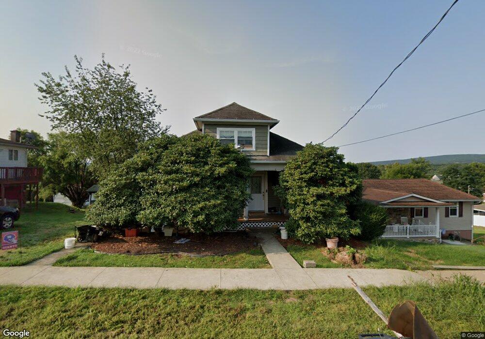
1321 Watson St Scranton, PA 18504
Hyde Park NeighborhoodEstimated Value: $114,265 - $219,000
--
Bed
--
Bath
--
Sq Ft
8,668
Sq Ft Lot
About This Home
This home is located at 1321 Watson St, Scranton, PA 18504 and is currently estimated at $177,566. 1321 Watson St is a home located in Lackawanna County with nearby schools including Longan Elementary School, Adams Elementary School, and Frances Willard School.
Ownership History
Date
Name
Owned For
Owner Type
Purchase Details
Closed on
Feb 19, 2010
Sold by
Albrecht James P and Albrecht Sally Ann
Bought by
Aniska Ronald X
Current Estimated Value
Home Financials for this Owner
Home Financials are based on the most recent Mortgage that was taken out on this home.
Original Mortgage
$73,132
Outstanding Balance
$49,808
Interest Rate
5.62%
Mortgage Type
FHA
Estimated Equity
$127,758
Create a Home Valuation Report for This Property
The Home Valuation Report is an in-depth analysis detailing your home's value as well as a comparison with similar homes in the area
Home Values in the Area
Average Home Value in this Area
Purchase History
| Date | Buyer | Sale Price | Title Company |
|---|---|---|---|
| Aniska Ronald X | $74,500 | None Available |
Source: Public Records
Mortgage History
| Date | Status | Borrower | Loan Amount |
|---|---|---|---|
| Open | Aniska Ronald X | $73,132 |
Source: Public Records
Tax History Compared to Growth
Tax History
| Year | Tax Paid | Tax Assessment Tax Assessment Total Assessment is a certain percentage of the fair market value that is determined by local assessors to be the total taxable value of land and additions on the property. | Land | Improvement |
|---|---|---|---|---|
| 2025 | $1,922 | $5,500 | $1,650 | $3,850 |
| 2024 | $1,766 | $5,500 | $1,650 | $3,850 |
| 2023 | $1,766 | $5,500 | $1,650 | $3,850 |
| 2022 | $1,728 | $5,500 | $1,650 | $3,850 |
| 2021 | $1,728 | $5,500 | $1,650 | $3,850 |
| 2020 | $1,698 | $5,500 | $1,650 | $3,850 |
| 2019 | $1,601 | $5,500 | $1,650 | $3,850 |
| 2018 | $1,601 | $5,500 | $1,650 | $3,850 |
| 2017 | $1,575 | $5,500 | $1,650 | $3,850 |
| 2016 | $578 | $5,500 | $1,650 | $3,850 |
| 2015 | $1,209 | $5,500 | $1,650 | $3,850 |
| 2014 | -- | $5,500 | $1,650 | $3,850 |
Source: Public Records
Map
Nearby Homes
- 1335 Sloan St
- 1301 Sloan St
- 1411 Watson St
- 1227 Rundle St
- LOT#16 Reynolds Ave
- Lot# 7 Reynolds Ave
- 1115 Watson St
- 1234 Bryn Mawr St Unit 11
- 1143 Reynolds Ave
- 816 12th Ave
- 924 S Main Ave
- 1150 W Elm St
- 1215 Eynon St
- 1223 Eynon St
- 1203 Acker Ave
- 610 Landis St
- 1250 S 1252 6th
- 1227-1229 Hampton St
- 625 Landis St
- 1157-59 Hampton St
- 1325 Watson St
- 1319 Watson St
- 1335 Watson St
- 1317 Watson St
- 1328 Rundle St
- 1326 Rundle St
- 1330 Rundle St
- 1315 Watson St
- 1334 Rundle St
- 1357 Watson St
- 1336 Rear Rundle St
- 1322 Watson St
- 1320 Watson St
- 1324 Watson St
- 1311 Watson St
- 1320 Rundle St
- 1336 Rundle St
- 1336 Rundle St Unit 1338
- 1314 Watson St Unit L43I
- 1326 Watson St