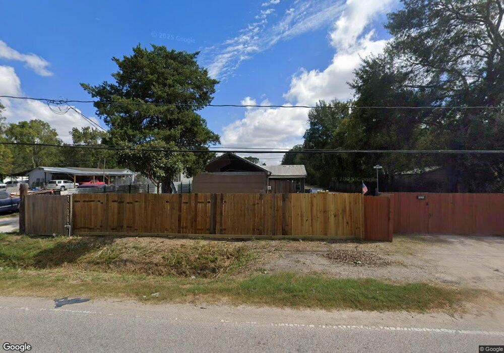
13210 Ralph Culver Rd Houston, TX 77086
North Houston NeighborhoodEstimated Value: $332,000 - $534,000
2
Beds
4
Baths
1,440
Sq Ft
$287/Sq Ft
Est. Value
About This Home
This home is located at 13210 Ralph Culver Rd, Houston, TX 77086 and is currently estimated at $413,667, approximately $287 per square foot. 13210 Ralph Culver Rd is a home located in Harris County with nearby schools including Kujawa EC/Pre-K/K School, Wilson Intermediate School, and Shotwell Middle School.
Ownership History
Date
Name
Owned For
Owner Type
Purchase Details
Closed on
Mar 15, 2002
Sold by
Hubbard Mirum Diana
Bought by
Calvo Miguel Angel and Calvo Yolanda
Current Estimated Value
Home Financials for this Owner
Home Financials are based on the most recent Mortgage that was taken out on this home.
Original Mortgage
$65,000
Outstanding Balance
$26,712
Interest Rate
6.83%
Mortgage Type
Seller Take Back
Estimated Equity
$386,955
Create a Home Valuation Report for This Property
The Home Valuation Report is an in-depth analysis detailing your home's value as well as a comparison with similar homes in the area
Home Values in the Area
Average Home Value in this Area
Purchase History
| Date | Buyer | Sale Price | Title Company |
|---|---|---|---|
| Calvo Miguel Angel | -- | -- |
Source: Public Records
Mortgage History
| Date | Status | Borrower | Loan Amount |
|---|---|---|---|
| Open | Calvo Miguel Angel | $65,000 |
Source: Public Records
Tax History Compared to Growth
Tax History
| Year | Tax Paid | Tax Assessment Tax Assessment Total Assessment is a certain percentage of the fair market value that is determined by local assessors to be the total taxable value of land and additions on the property. | Land | Improvement |
|---|---|---|---|---|
| 2025 | $4,304 | $316,762 | $220,635 | $96,127 |
| 2024 | $4,304 | $333,720 | $240,295 | $93,425 |
| 2023 | $4,304 | $268,929 | $157,284 | $111,645 |
| 2022 | $5,194 | $263,981 | $157,284 | $106,697 |
| 2021 | $4,950 | $238,205 | $120,148 | $118,057 |
| 2020 | $4,742 | $208,762 | $120,148 | $88,614 |
| 2019 | $4,849 | $203,839 | $124,517 | $79,322 |
| 2018 | $2,396 | $191,868 | $124,517 | $67,351 |
| 2017 | $4,169 | $191,868 | $124,517 | $67,351 |
| 2016 | $3,839 | $169,368 | $100,487 | $68,881 |
| 2015 | $3,342 | $152,034 | $87,380 | $64,654 |
| 2014 | $3,342 | $149,865 | $73,690 | $76,175 |
Source: Public Records
Map
Nearby Homes
- 3265 Frick Rd
- 13308 Ann Louise Rd
- 13518 Kaltenbrun Rd
- 3127 Frick Rd
- 13610 Kaltenbrun Rd
- 10214 Trade Winds Dr
- 6502 Trail Valley Way
- 6606 Dusty Dawn Dr
- 3240 Brownie Campbell Rd
- 5914 Stirring Winds Ln
- 10306 Jillana Kaye Dr
- 10522 Northview Dr
- 6703 Deer Ridge Ln
- 10730 Antoine Dr
- 2838 Packard Elm St
- 12623 Ann Louise Rd
- 2835 Oakland Brook St
- 6615 Winding Trace Dr
- 2831 Oakland Brook St
- 2811 Oakland Brook St
- 13209 Ralph Culver Rd
- 13223 Ralph Culver Rd
- 13122 Ralph Culver Rd
- 13225 Ralph Culver Rd
- 13226 Ralph Culver Rd
- 13303 Ralph Culver Rd
- 13106 Ralph Culver Rd
- 3242 Frick Rd
- 0 Ralph Culver Rd
- 13309 Ralph Culver Rd
- 13104 Ralph Culver Rd
- 13317 Ralph Culver Rd
- 3234 Frick Rd
- 13238 Ralph Culver Rd
- 3326 Frick Rd
- 3266 Frick Rd
- 13326 Ralph Culver Rd
- 3250 Frick Rd
- 13225 Ann Louise Rd
- 13321 Ralph Culver Rd