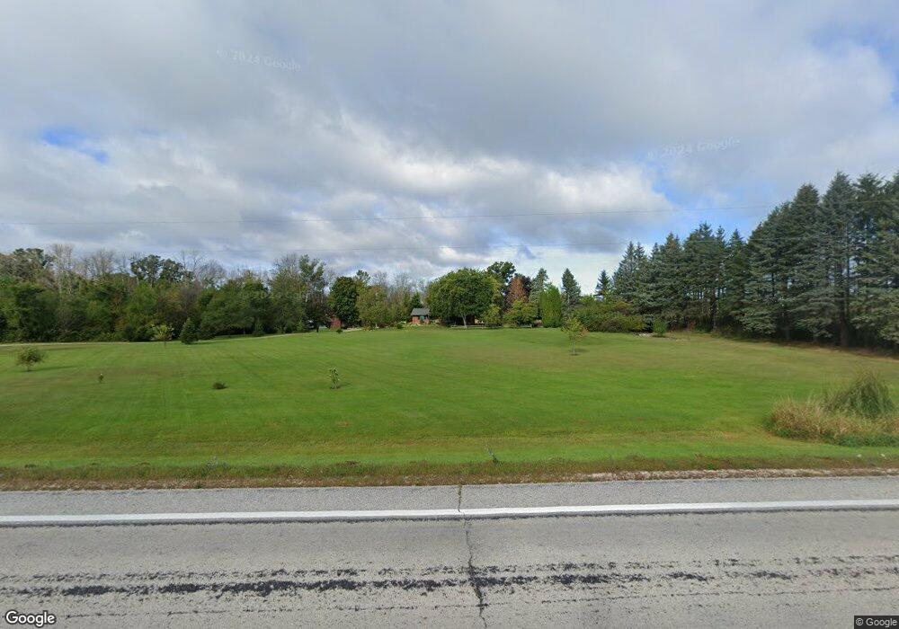
13210 S 42 Newton, WI 53063
Estimated Value: $205,000 - $466,000
--
Bed
--
Bath
--
Sq Ft
5.19
Acres
About This Home
This home is located at 13210 S 42, Newton, WI 53063 and is currently estimated at $346,937. 13210 S 42 is a home with nearby schools including Zielanis Elementary School, Kiel Middle School, and Kiel High School.
Ownership History
Date
Name
Owned For
Owner Type
Purchase Details
Closed on
Feb 3, 2020
Sold by
Heckmann William M and Estate Of Dean A Koropov
Bought by
Benny Nancy
Current Estimated Value
Purchase Details
Closed on
Aug 15, 2013
Sold by
Koropov Dean A and Crossman Nancy
Bought by
Koropov Dean A and Crossman Nancy
Home Financials for this Owner
Home Financials are based on the most recent Mortgage that was taken out on this home.
Original Mortgage
$211,900
Interest Rate
4.28%
Mortgage Type
New Conventional
Purchase Details
Closed on
Feb 28, 2008
Sold by
Hildebrad John R
Bought by
Korepoy Dean A and Korepoy Nancy C
Home Financials for this Owner
Home Financials are based on the most recent Mortgage that was taken out on this home.
Original Mortgage
$220,000
Interest Rate
5.75%
Mortgage Type
New Conventional
Purchase Details
Closed on
Jun 7, 2007
Sold by
Hildebrand Krista R
Bought by
Hildebrand John R
Create a Home Valuation Report for This Property
The Home Valuation Report is an in-depth analysis detailing your home's value as well as a comparison with similar homes in the area
Home Values in the Area
Average Home Value in this Area
Purchase History
| Date | Buyer | Sale Price | Title Company |
|---|---|---|---|
| Benny Nancy | $95,000 | None Available | |
| Koropov Dean A | -- | -- | |
| Korepoy Dean A | $220,000 | None Available | |
| Hildebrand John R | -- | None Available |
Source: Public Records
Mortgage History
| Date | Status | Borrower | Loan Amount |
|---|---|---|---|
| Previous Owner | Koropov Dean A | $211,900 | |
| Previous Owner | Korepoy Dean A | $220,000 |
Source: Public Records
Tax History Compared to Growth
Tax History
| Year | Tax Paid | Tax Assessment Tax Assessment Total Assessment is a certain percentage of the fair market value that is determined by local assessors to be the total taxable value of land and additions on the property. | Land | Improvement |
|---|---|---|---|---|
| 2024 | $3,063 | $189,800 | $39,700 | $150,100 |
| 2023 | $3,292 | $189,800 | $39,700 | $150,100 |
| 2022 | $3,020 | $189,800 | $39,700 | $150,100 |
| 2021 | $3,379 | $189,800 | $39,700 | $150,100 |
| 2020 | $3,369 | $189,800 | $39,700 | $150,100 |
| 2019 | $3,370 | $189,800 | $39,700 | $150,100 |
| 2018 | $3,061 | $189,800 | $39,700 | $150,100 |
| 2017 | $3,139 | $178,600 | $34,100 | $144,500 |
| 2016 | $3,086 | $178,600 | $34,100 | $144,500 |
| 2015 | $3,052 | $178,600 | $34,100 | $144,500 |
| 2014 | $3,053 | $178,600 | $34,100 | $144,500 |
| 2013 | $3,169 | $178,600 | $34,100 | $144,500 |
Source: Public Records
Map
Nearby Homes
- 13211 Pioneer Rd
- 13113 Pioneer Rd
- 11516 Wisconsin 42
- 10416 County Highway X -
- 12024 Point Creek Rd
- 10604 Wisconsin 42
- 9014 North Ave
- 15324 Horseshoe Lake Rd
- 10908 S Union Rd
- 15816 Lincoln Rd
- 11215 Spring Lake Rd
- 14115 Pigeon River Rd
- 1510 North Ave
- Lt1 Meadowbrook Dr
- 1261 Westview St
- Lt2 Meadowbrook Dr
- 1276 Meadowbrook Dr Unit 2
- 1278 Meadowbrook Dr Unit 2
- 1436 W Washington Ave
- Lt31 Meadowbrook Dr
- 13308 S 42
- 13324 State Road 42
- 12108 E Spring Valley Rd
- 13211 State Road 42
- 12720 S 42
- 13228 Pioneer Rd
- 13301 Pioneer Rd
- 13301 Pioneer Rd
- 13207 Pioneer Rd
- 13101 Pioneer Rd
- 13103 Pioneer Rd
- 13216 Pioneer Rd
- 13115 Pioneer Rd
- 12996 Pioneer Rd
- 13108 Pioneer Rd
- 11621 E Spring Valley Rd
- 11631 E Spring Valley Rd
- 13506 Pioneer Rd
- 13048 Spring Valley Rd
- 12838 Pioneer Rd