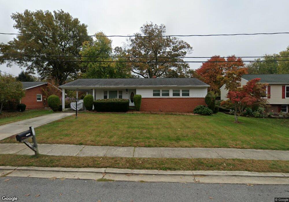
13211 10th St Bowie, MD 20715
Old Bowie NeighborhoodEstimated Value: $365,000 - $400,919
--
Bed
2
Baths
1,188
Sq Ft
$325/Sq Ft
Est. Value
About This Home
This home is located at 13211 10th St, Bowie, MD 20715 and is currently estimated at $385,980, approximately $324 per square foot. 13211 10th St is a home located in Prince George's County with nearby schools including Rockledge Elementary School, Samuel Ogle Middle School, and Bowie High School.
Ownership History
Date
Name
Owned For
Owner Type
Purchase Details
Closed on
Jul 22, 2019
Sold by
Colbert Janice Marlene and Estate Of Thomas Asbury Hall J
Bought by
Daniels Neal Lawrence and Daniels Neal
Current Estimated Value
Home Financials for this Owner
Home Financials are based on the most recent Mortgage that was taken out on this home.
Original Mortgage
$207,000
Interest Rate
3.7%
Mortgage Type
New Conventional
Purchase Details
Closed on
Apr 25, 1960
Bought by
Hall Thomas A and Hall Edna M
Create a Home Valuation Report for This Property
The Home Valuation Report is an in-depth analysis detailing your home's value as well as a comparison with similar homes in the area
Home Values in the Area
Average Home Value in this Area
Purchase History
| Date | Buyer | Sale Price | Title Company |
|---|---|---|---|
| Daniels Neal Lawrence | $230,000 | Prime Title Group Llc | |
| Hall Thomas A | $600 | -- |
Source: Public Records
Mortgage History
| Date | Status | Borrower | Loan Amount |
|---|---|---|---|
| Previous Owner | Daniels Neal Lawrence | $207,000 |
Source: Public Records
Tax History Compared to Growth
Tax History
| Year | Tax Paid | Tax Assessment Tax Assessment Total Assessment is a certain percentage of the fair market value that is determined by local assessors to be the total taxable value of land and additions on the property. | Land | Improvement |
|---|---|---|---|---|
| 2025 | $6,860 | $429,200 | $101,200 | $328,000 |
| 2024 | $6,860 | $400,967 | $0 | $0 |
| 2023 | $6,356 | $372,733 | $0 | $0 |
| 2022 | $5,843 | $344,500 | $76,200 | $268,300 |
| 2021 | $5,542 | $327,833 | $0 | $0 |
| 2020 | $10,499 | $311,167 | $0 | $0 |
| 2019 | $4,948 | $294,500 | $75,600 | $218,900 |
| 2018 | $3,433 | $262,767 | $0 | $0 |
| 2017 | $3,095 | $231,033 | $0 | $0 |
| 2016 | -- | $199,300 | $0 | $0 |
| 2015 | -- | $199,300 | $0 | $0 |
| 2014 | $2,753 | $199,300 | $0 | $0 |
Source: Public Records
Map
Nearby Homes
- 13205 10th St
- 13123 10th St
- 13322 11th St
- 13314 10th St
- 8608 Pine Ave
- The Jenkins Plan at Mill Branch Crossing - Townhomes
- 13118 6th St
- 0 5th St Unit MDPG2135750
- 8307 Satinleaf Ct
- 8824 Old Laurel Bowie Rd
- 13306 Littlepage Place
- 8823 Maple Ave
- 13001 4th St
- 12808 10th St
- 8106 Triple Crown Rd
- 13812 Pecan Ridge Way
- 13814 Pecan Ridge Way
- 12707 Duckettown Rd
- 12800 7th St
- 9112 Myrtle Ave