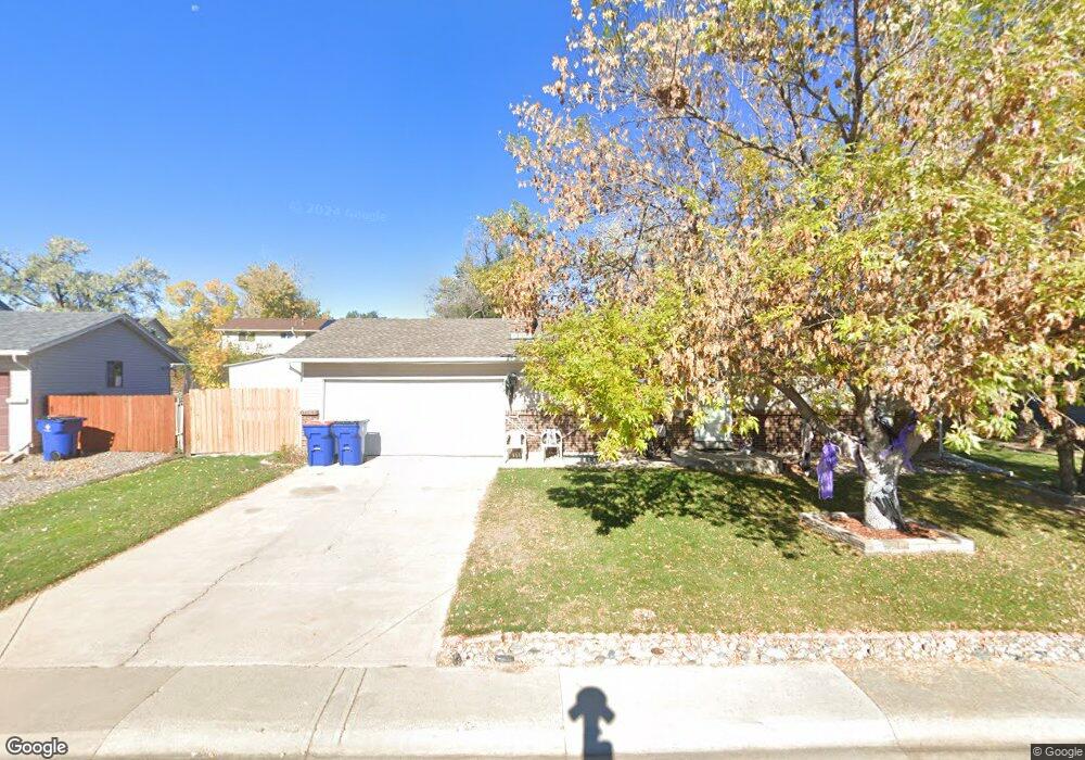
13211 Mercury Dr Lone Tree, CO 80124
Estimated Value: $528,917 - $548,000
3
Beds
2
Baths
882
Sq Ft
$610/Sq Ft
Est. Value
About This Home
This home is located at 13211 Mercury Dr, Lone Tree, CO 80124 and is currently estimated at $538,459, approximately $610 per square foot. 13211 Mercury Dr is a home located in Douglas County with nearby schools including Acres Green Elementary School, Cresthill Middle School, and Highlands Ranch High School.
Ownership History
Date
Name
Owned For
Owner Type
Purchase Details
Closed on
Mar 15, 1990
Sold by
Lodrige Paul Fred and Christen Lodrige Cindy Therese
Bought by
Rodriguez Leroy J and Rodriguez Kim C
Current Estimated Value
Purchase Details
Closed on
Dec 9, 1985
Sold by
Lodrige Paul Fred
Bought by
Lodrige Cindy Therese Christen
Purchase Details
Closed on
Sep 30, 1985
Sold by
Demmon Gregory B and Demmon Cynthia D
Bought by
Lodrige Paul F and Christen Cindy T
Purchase Details
Closed on
Feb 28, 1979
Sold by
Unavailable
Bought by
Unavailable
Create a Home Valuation Report for This Property
The Home Valuation Report is an in-depth analysis detailing your home's value as well as a comparison with similar homes in the area
Home Values in the Area
Average Home Value in this Area
Purchase History
| Date | Buyer | Sale Price | Title Company |
|---|---|---|---|
| Rodriguez Leroy J | $75,000 | -- | |
| Lodrige Cindy Therese Christen | $1,500 | -- | |
| Lodrige Paul F | $80,900 | -- | |
| Unavailable | $52,400 | -- |
Source: Public Records
Tax History Compared to Growth
Tax History
| Year | Tax Paid | Tax Assessment Tax Assessment Total Assessment is a certain percentage of the fair market value that is determined by local assessors to be the total taxable value of land and additions on the property. | Land | Improvement |
|---|---|---|---|---|
| 2024 | $2,387 | $36,390 | $8,140 | $28,250 |
| 2023 | $3,033 | $36,390 | $8,140 | $28,250 |
| 2022 | $2,223 | $24,960 | $6,910 | $18,050 |
| 2021 | $2,312 | $24,960 | $6,910 | $18,050 |
| 2020 | $2,200 | $24,340 | $6,540 | $17,800 |
| 2019 | $2,207 | $24,340 | $6,540 | $17,800 |
| 2018 | $1,723 | $20,350 | $5,690 | $14,660 |
| 2017 | $1,751 | $20,350 | $5,690 | $14,660 |
| 2016 | $1,539 | $17,510 | $4,100 | $13,410 |
| 2015 | $1,574 | $17,510 | $4,100 | $13,410 |
| 2014 | $694 | $14,460 | $3,980 | $10,480 |
Source: Public Records
Map
Nearby Homes
- 250 Jupiter Dr
- 202 Helena Cir
- 13134 Deneb Dr
- 426 Jupiter Dr
- 181 Dianna Dr
- 130 Dianna Dr
- 13483 Achilles Dr
- 13542 Achilles Dr
- 8260 Lodgepole Trail
- 8159 Lodgepole Trail
- 7971 Arrowhead Ct
- 108 Olympus Cir
- 336 Aquarius Ct
- 979 Mercury Cir
- 8049 Sweet Water Rd
- 8754 Mesquite Row
- 789 Hamal Dr
- 8860 Kachina Way
- 383 Helena Cir
- 9308 Miles Dr Unit 5
- 13205 Mercury Dr
- 13217 Mercury Dr
- 13256 Saturn Dr
- 13246 Saturn Dr
- 13266 Saturn Dr
- 13216 Mercury Dr
- 13210 Mercury Dr
- 13226 Saturn Dr
- 13199 Mercury Dr
- 13223 Mercury Dr
- 13276 Saturn Dr
- 13198 Mercury Dr
- 13194 Saturn Dr
- 13229 Mercury Dr
- 328 Saturn Place
- 13193 Mercury Dr
- 13286 Saturn Dr
- 13255 Saturn Dr
- 13192 Mercury Dr
- 13174 Saturn Dr